- Elevation
- 936 m
- above sea level
- Local time
- UTC+00:00
- Europe/London · UTC+00:00
- Airports
- TRE Tiree Airport103 km
- INV Inverness Airport104 km
About Luinne Bheinn East Top
Luinne Bheinn East Top is a mountain. Location: Highland, Scotland. Elevation: 936 m. The nearest airport is Tiree Airport (103 km). Nearby sights include Luinne Bheinn and Meall Coire na Gaoithe'n Ear.
Photos of Luinne Bheinn East Top
-
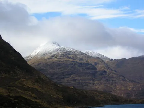
Ladhar Bheinn No machine-readable author provided. Grinner assumed · CC BY 2.5 -
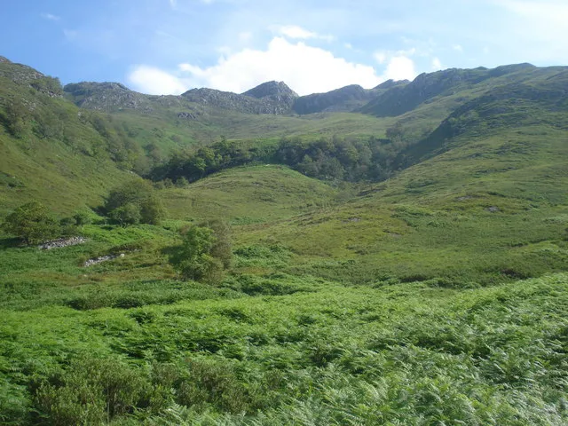
Druim Fada Keith Cunneen · CC BY-SA 2.0 -
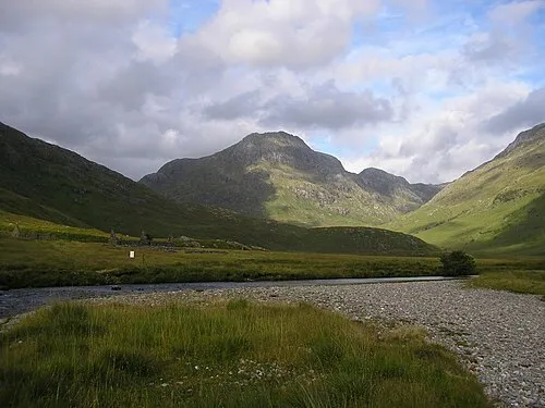
Ben Aden Graham Lewis · CC BY 2.0 -
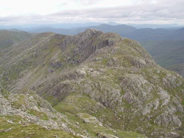
Garbh Chioch Mhor Eric Gunstensen · CC BY-SA 2.0 -
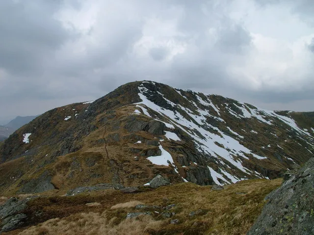
Sgurr nan Coireachean David Brown · CC BY-SA 2.0


Climate of Luinne Bheinn East Top
This month · November
A wet month
Day 4° · Night -1° · Rain 296 mm
- Hottest month
- July (day 12°)
- Coldest month
- February (night -3°)
- Wettest month
- January (301 mm)
- Driest month
- May (116 mm)
Bars: average monthly low and high temperature. Below: precipitation. Monthly averages for 1970–2000 at about 18 km resolution, adjusted for elevation. Highlighted months are mild and relatively dry. Source: WorldClim 2.1 (CC BY 4.0).
Show values as a table
| Month | Jan | Feb | Mar | Apr | May | Jun | Jul | Aug | Sep | Oct | Nov | Dec |
|---|---|---|---|---|---|---|---|---|---|---|---|---|
| Average high (°C) | 1° | 2° | 3° | 5° | 9° | 11° | 12° | 12° | 10° | 7° | 4° | 2° |
| Average low (°C) | -3° | -3° | -3° | -2° | 1° | 4° | 6° | 5° | 4° | 1° | -1° | -3° |
| Precipitation (mm) | 301 | 195 | 246 | 135 | 116 | 126 | 144 | 167 | 248 | 277 | 296 | 295 |
How to get to Luinne Bheinn East Top
The nearest airport is Tiree Airport (TRE), 103 km to the southwest as the crow flies. The nearest large city is Glasgow, 153 km to the southeast.
Airports
- Tiree Airport (TRE) Balemartine, Argyll and Bute 103 kmsouthwest
- Inverness Airport (INV) Inverness, Highland 104 kmnortheast
- Barra Airport (BRR) Eoligarry 117 kmwest
Nearby large cities
- Glasgow Population: 626.4K 153 kmsoutheast
- Dundee Population: 148.2K 168 kmeast
- Edinburgh Population: 515K 188 kmsoutheast
- Aberdeen Population: 198.6K 207 kmeast
- Belfast Population: 348K 274 kmsouth
Straight-line distances; road distances are longer. Airport data: OurAirports.
Day trips from Luinne Bheinn East Top
Within 100 km: 40 historic and cultural sites, 4,264 natural sites, 1,276 lakes, rivers and coasts.
0–25 km545 places
- Sandaig Islands Island 18 kmNW
- Eilean Ràrsaidh Island 12 kmNW
- Ornsay Island 20 kmNW
- An t-Eilean Meadhoin Island 19 kmSW
25–60 km1,840 places
- Isle of Skye Island 53 kmNW
- Island of Raasay Island 50 kmNW
- Eigg Island 43 kmW
- Scalpay Island 39 kmNW
60–100 km3,195 places
- Hebrides Island 80 kmW
- The Coral Beaches Beach 85 kmNW
- Scarba Island 97 kmS
- Clett Island 87 kmNW
Straight-line distances.
Nearby attractions & nature
Everything nearby-
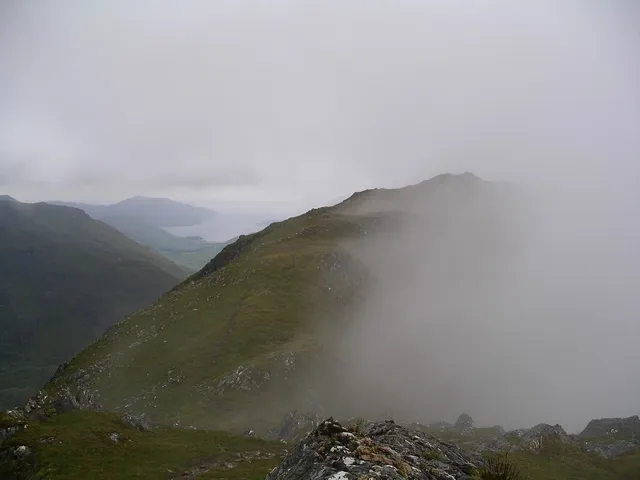 Luinne Bheinn Mountain, Highland0.3 km W
-
Meall Coire na Gaoithe'n Ear Mountain, Highland1 km SW
-
Druim Leac a' Shith Mountain, Highland1.4 km S
-
Cnoc Mam Unndalain Mountain, Highland1.5 km E
-
Ben Aden Mountain, Highland3.4 km SE
-
Sgurr a' Choire-bheithe Mountain, Highland2.5 km NE
-
Tom na h-Eilde Mountain, Highland2.5 km N
-
Cnuic nan Eildean Mountain, Highland2.6 km W
Sources & licences
Data last updated: