- Elevation
- 781 m
- above sea level
- Local time
- UTC+00:00
- Europe/London · UTC+00:00
- Airports
- INV Inverness Airport82 km
- SYY Stornoway Airport125 km
About Meall a' Bhealaich
Meall a' Bhealaich is a mountain. Location: Highland, Scotland. Elevation: 781 m. The nearest airport is Inverness Airport (82 km). Nearby sights include Beinn Fhada and A' Ghlas-bheinn South Top.
Photos of Meall a' Bhealaich
-
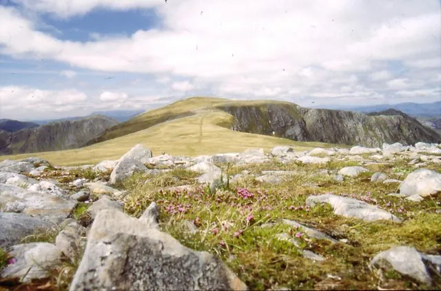
Beinn Fhada Angus · CC BY-SA 2.0 -
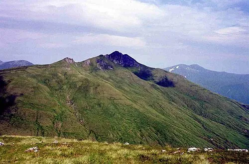
Ciste Dhubh Mick Knapton at English Wikipedia · CC BY-SA 3.0 -
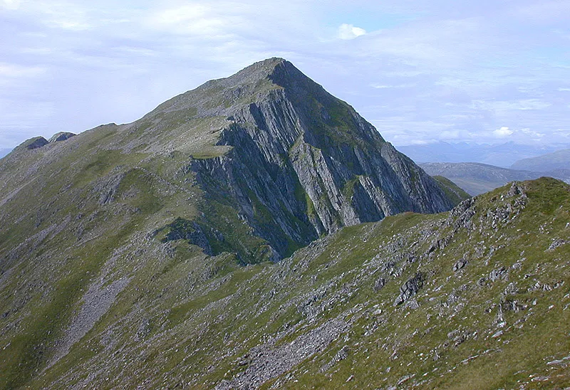
Sgurr nan Saighead Nigel Brown · CC BY-SA 2.0 -
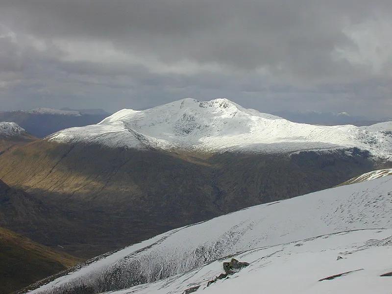
Sgurr nan Ceathramhnan Nigel Brown · CC BY-SA 2.0 -
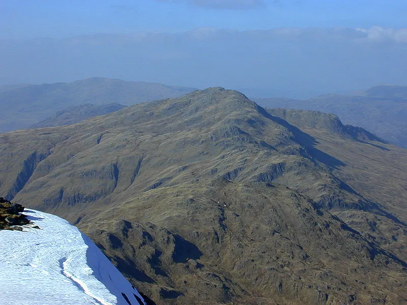
A' Ghlas-bheinn Nigel Brown · CC BY-SA 2.0


Climate of Meall a' Bhealaich
This month · November
A wet month
Day 4° · Night -1° · Rain 316 mm
- Hottest month
- July (day 14°)
- Coldest month
- December (night -3°)
- Wettest month
- January (328 mm)
- Driest month
- May (128 mm)
Bars: average monthly low and high temperature. Below: precipitation. Monthly averages for 1970–2000 at about 18 km resolution, adjusted for elevation. Highlighted months are mild and relatively dry. Source: WorldClim 2.1 (CC BY 4.0).
Show values as a table
| Month | Jan | Feb | Mar | Apr | May | Jun | Jul | Aug | Sep | Oct | Nov | Dec |
|---|---|---|---|---|---|---|---|---|---|---|---|---|
| Average high (°C) | 2° | 2° | 4° | 7° | 10° | 12° | 14° | 13° | 11° | 7° | 4° | 2° |
| Average low (°C) | -3° | -3° | -2° | -1° | 2° | 5° | 7° | 7° | 5° | 2° | -1° | -3° |
| Precipitation (mm) | 328 | 219 | 274 | 148 | 128 | 134 | 151 | 175 | 258 | 294 | 316 | 319 |
How to get to Meall a' Bhealaich
The nearest airport is Inverness Airport (INV), 82 km to the northeast as the crow flies. The nearest large city is Dundee, 165 km to the southeast.
Airports
- Inverness Airport (INV) Inverness, Highland 82 kmnortheast
- Stornoway Airport (SYY) Stornoway, Western Isles 125 kmnorthwest
- Tiree Airport (TRE) Balemartine, Argyll and Bute 126 kmsouthwest
Nearby large cities
- Dundee Population: 148.2K 165 kmsoutheast
- Glasgow Population: 626.4K 166 kmsoutheast
- Edinburgh Population: 515K 193 kmsoutheast
- Aberdeen Population: 198.6K 194 kmeast
- Belfast Population: 348K 297 kmsouth
Straight-line distances; road distances are longer. Airport data: OurAirports.
Day trips from Meall a' Bhealaich
Within 100 km: 37 historic and cultural sites, 4,332 natural sites, 1,064 lakes, rivers and coasts.
0–25 km537 places
- Eilean Ràrsaidh Island 23 kmSW
- Eilean Donan Island 15 kmW
- Eilean Tioram Island 21 kmSW
- Sgeir Bhuidhe Island 24 kmNW
25–60 km2,011 places
- Isle of Skye Island 58 kmW
- Island of Raasay Island 49 kmW
- Scalpay Island 42 kmW
- Moy Island Island 58 kmNE
60–100 km2,885 places
- Hebrides Island 97 kmW
- Eigg Island 65 kmSW
- The Coral Beaches Beach 86 kmW
- Oronsay Island 75 kmSW
Straight-line distances.
Nearest towns and villages
-
 Morvich Village, Highland5.4 km W
-
Carn-gorm Village, Highland5.6 km W
-
Ault a' chruinn Village, Highland6.6 km W
-
Alltbeath Village, Highland6.8 km E
-
 Shiel Bridge Village, Highland8 km W
-
Carnach Village, Highland7.2 km N
Nearby attractions & nature
Everything nearby-
Beinn Fhada Mountain, Highland1.9 km S
-
A' Ghlas-bheinn South Top Mountain, Highland0.9 km N
-
A' Ghlas-bheinn Mountain, Highland2.1 km N
-
Faradh Nighean Fhearchair Mountain, Highland1.7 km W
-
Meall an Fhuarain Mhoir Mountain, Highland1.9 km SW
-
Ceum na h-Aon-choise Mountain, Highland1.9 km SW
-
Sgurr a' Choire Ghairbh Mountain, Highland2.1 km W
-
Loch a’ Bhealaich Lake, Highland1.8 km E
More nature in United Kingdom
-
Sgurr nan Ceathramhnan Mountain, Highland4.8 km NE
-
Gleann Gniomhaidh Natural site, Highland3.1 km NE
-
Sgurr nan Saighead Mountain, Highland5 km SW
-
Creag na Saobhie Mountain, Highland2.4 km N
-
Sgurr Gaorsaic Mountain, Highland2.5 km E
-
Meall Dubh Mountain, Highland3.2 km N
Sources & licences
Data last updated: