- Elevation
- 436 m
- above sea level
- Local time
- UTC+00:00
- Europe/London · UTC+00:00
- Airports
- INV Inverness Airport92 km
- TRE Tiree Airport116 km
About Meall a' Choire Leith
Meall a' Choire Leith is a mountain. Location: Highland, Scotland. Elevation: 436 m. The nearest airport is Inverness Airport (92 km). Nearby sights include Gairich and Loch Quoich.
Photos of Meall a' Choire Leith
-
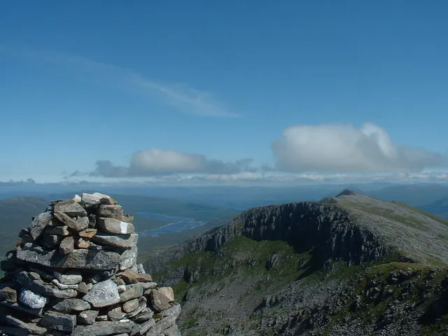
Gleouraich Michael Graham · CC BY-SA 2.0 -
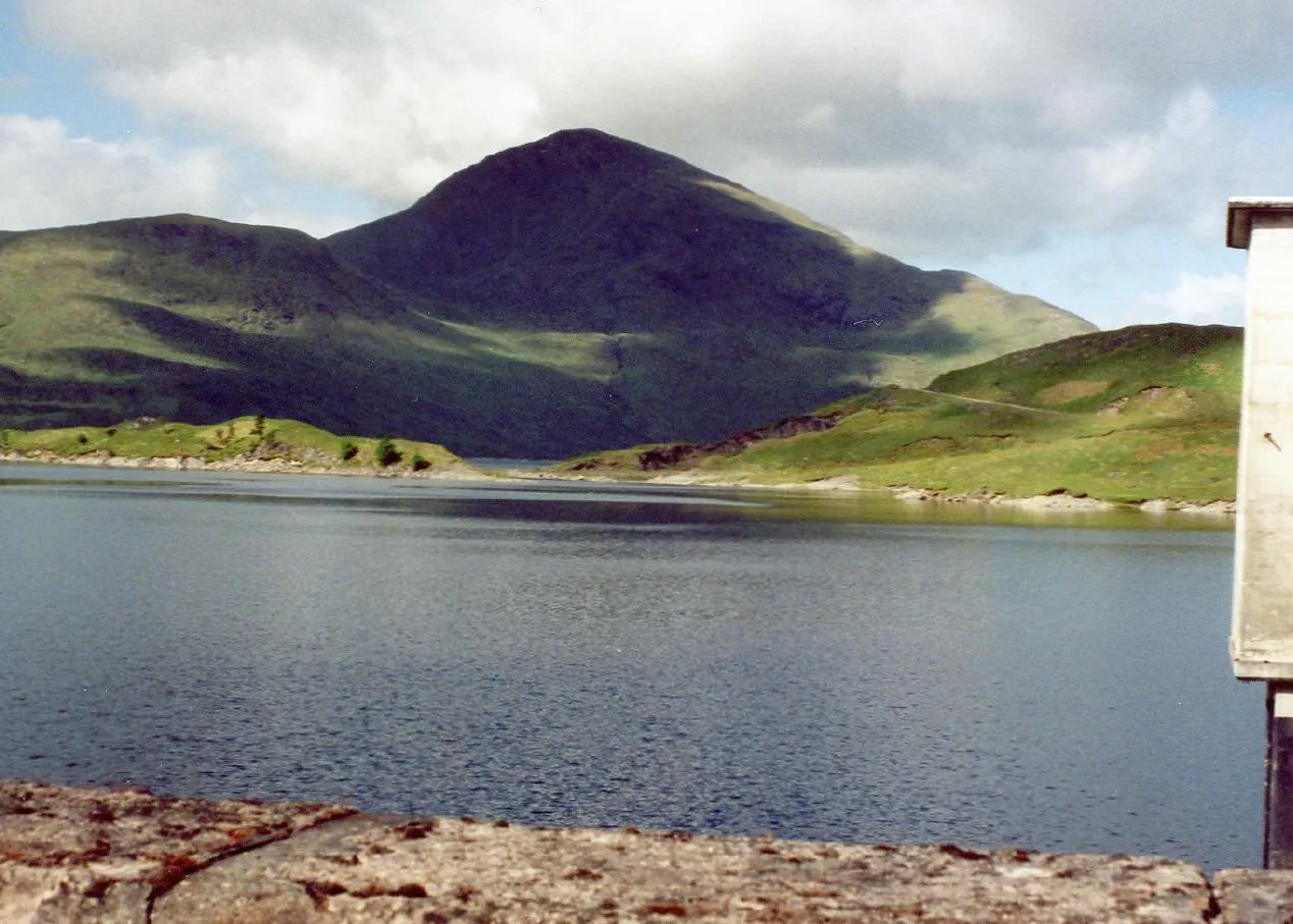
Gairich Mick Knapton at English Wikipedia · CC BY-SA 3.0 -
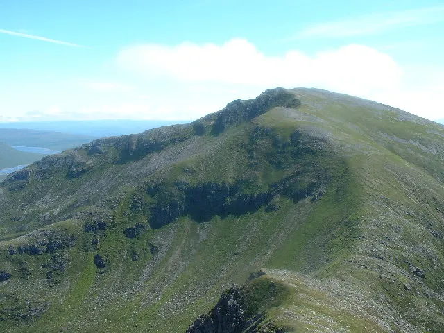
Spidean Mialach Ron Shirt · CC BY-SA 2.0


Climate of Meall a' Choire Leith
This month · November
A wet month
Day 6° · Night 1° · Rain 305 mm
- Hottest month
- July (day 16°)
- Coldest month
- February (night -1°)
- Wettest month
- January (320 mm)
- Driest month
- May (119 mm)
Bars: average monthly low and high temperature. Below: precipitation. Monthly averages for 1970–2000 at about 18 km resolution, adjusted for elevation. Highlighted months are mild and relatively dry. Source: WorldClim 2.1 (CC BY 4.0).
Show values as a table
| Month | Jan | Feb | Mar | Apr | May | Jun | Jul | Aug | Sep | Oct | Nov | Dec |
|---|---|---|---|---|---|---|---|---|---|---|---|---|
| Average high (°C) | 4° | 4° | 6° | 9° | 12° | 14° | 16° | 15° | 13° | 10° | 6° | 5° |
| Average low (°C) | -1° | -1° | 0° | 1° | 4° | 7° | 9° | 9° | 7° | 4° | 1° | -1° |
| Precipitation (mm) | 320 | 211 | 266 | 139 | 119 | 127 | 145 | 169 | 250 | 282 | 305 | 311 |
How to get to Meall a' Choire Leith
The nearest airport is Inverness Airport (INV), 92 km to the northeast as the crow flies. The nearest large city is Glasgow, 147 km to the southeast.
Airports
- Inverness Airport (INV) Inverness, Highland 92 kmnortheast
- Tiree Airport (TRE) Balemartine, Argyll and Bute 116 kmsouthwest
- Barra Airport (BRR) Eoligarry 132 kmwest
Nearby large cities
- Glasgow Population: 626.4K 147 kmsoutheast
- Dundee Population: 148.2K 155 kmsoutheast
- Edinburgh Population: 515K 178 kmsoutheast
- Aberdeen Population: 198.6K 193 kmeast
- Belfast Population: 348K 277 kmsouth
Straight-line distances; road distances are longer. Airport data: OurAirports.
Day trips from Meall a' Choire Leith
Within 100 km: 41 historic and cultural sites, 4,631 natural sites, 1,272 lakes, rivers and coasts.
0–25 km484 places
- Eilean Ràrsaidh Island 22 kmW
- Eilean Tioram Island 20 kmNW
- Eilean nam Meann Island 23 kmW
- Eilean nan Reithean Island 19 kmSW
25–60 km2,047 places
- Island of Raasay Island 60 kmNW
- Eigg Island 57 kmW
- Scalpay Island 49 kmNW
- Oronsay Island 59 kmSW
60–100 km3,413 places
- Hebrides Island 94 kmW
- Isle of Skye Island 65 kmNW
- The Coral Beaches Beach 96 kmNW
- Clett Island 97 kmNW
Straight-line distances.
Nearest towns and villages
-
 Kinloch Hourn Village, Highland8.7 km NW
-
Coille Mhorgil Village, Highland8.9 km E
-
Tomdoun Village, Highland15 km E
-
Barrisdale Village, Highland15 km W
-
Sourlies Village, Highland15 km SW
-
 Glenfinnan Village, Highland23 km SW
Nearby attractions & nature
Everything nearby-
Gairich Mountain, Highland2 km SE
-
Loch Quoich Lake, Highland0.9 km NW
-
Caolie Water River, Highland0.9 km NW
-
Glen Kingie Natural site, Highland3.3 km SE
-
Bac nam Foid Mountain, Highland3.1 km SE
-
Gleouraich Mountain, Highland4.9 km NE
-
Druim Seileach Mountain, Highland4.1 km N
-
Spidean Mialach Mountain, Highland6.1 km NE
More nature in United Kingdom
-
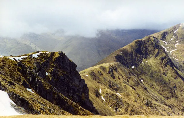 Aonach air Chrith Mountain, Highland8.1 km NE
-
Sgurr an Fhuarain Mountain, Highland4.2 km SW
-
Meall a' Mheil Mountain, Highland4.4 km NE
-
Stob Loch Fearna Mountain, Highland4.5 km NE
-
Leac nan Gaidhseich Mountain, Highland4.7 km NW
-
Meall a' Chait Mountain, Highland4.8 km E
Sources & licences
Data last updated: