Risga
Located in Highland, Scotland Coordinates: 56°40′15″ N 5°54′07″ W
- Elevation
- 22 m
- above sea level
- Local time
- UTC+00:00
- Europe/London · UTC+00:00
About Risga
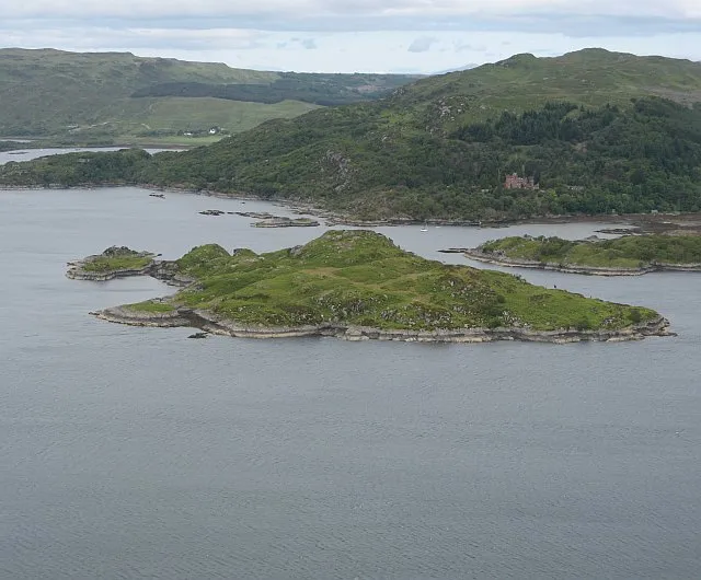
Risga is an island. Location: Highland, Scotland.
Risga is an uninhabited island in between Càrna and Oronsay, in the centre of Loch Sunart, about 800 yards (730 m) from the north shore, in the council area of Highland, Scotland. Its area is 12 hectares (30 acres) and its highest elevation is 43 metres (141 ft). In 1950, over 50 pairs of Lesser black-backed gull were recorded. The island is included in the grounds of Glenborrodale Castle and is part of Sunart SSSI. Ross Rock is located about 200 yards (180 m) from Risga.
Read more on Wikipedia Text: Wikipedia contributors · CC BY-SA 4.0 · shortened
At a glance
- Length
- 0.5 km
Source: Wikidata
In comparison
- 71 sights and natural places within 10 km Eilean an Fhèidh, Glenborrodale Bay
Nearest towns and villages
-
Glenborrodale Village, Highland1 km N
-
Gortenfern Village, Highland1 km N
-
Glenmore Village, Highland3.3 km NW
-
Glenbeg Village, Highland3.4 km NW
-
Barr Village, Highland4.3 km S
-
Rahoy Village, Highland4.7 km SE
Nearby attractions & nature
Everything nearby-
Eilean an Fhèidh Island, Highland0.4 km N
-
Glenborrodale Bay Natural site, Scotland0.6 km NW
-
Eilean nan Gad Island, Highland0.9 km NE
-
Innis nam Feorag Island, Highland1 km NE
-
Torr a' Choilich Mountain, Highland1.3 km S
-
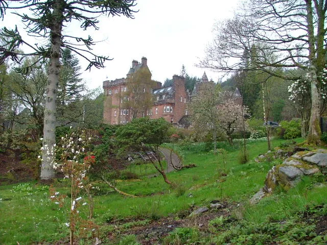 Glenborrodale Castle Historic site, Highland1 km NW
-
Carna Island Island, Highland1.2 km E
-
Tom Port Phadruig Mountain, Highland1.7 km SW
Sources & licences
Data last updated: · 2 independent sources