River Polly
Located in Highland, Scotland Coordinates: 58°04′00″ N 5°17′00″ W
- Elevation
- 86 m
- above sea level
- Local time
- UTC+00:00
- Europe/London · UTC+00:00
About River Polly
River Polly is a river. Location: Highland, Scotland.
In comparison
- 127 sights and natural places within 10 km Polly Bay, Cnoc Allt Rubha na Moine
Airports nearest to River Polly
- Stornoway Airport (SYY) Stornoway, Western Isles 64 km
- Inverness Airport (INV) Inverness, Highland 94 km
- Wick John O'Groats Airport (WIC) Wick 136 km
Straight-line distance; airports with scheduled flights only. Source: OurAirports (public domain).
Nearest towns and villages
-
Achiltibuie Village, Highland6.2 km SW
-
Brae of Achnahaird Village, Highland5.7 km W
-
Inverkirkaig Village, Highland6.7 km N
-
Polglass Village, Highland6.8 km SW
-
Polbain Village, Highland7 km SW
-
Badenscallie Village, Highland7.1 km S
Nearby attractions & nature
Everything nearby-
Polly Bay Natural site, Highland<0.1 km N
-
Cnoc Allt Rubha na Moine Mountain, Highland0.4 km E
-
Lag na Saill Mountain, Highland1.1 km S
-
Loch Garvie Natural site, United Kingdom1.5 km NW
-
Creag Inverpolly Mountain, Highland1.3 km NE
-
Cnoc na Dail Mountain, Highland1.5 km E
-
Rubha Phollaidh Mountain, Highland1.6 km N
-
Cnoc Lochan Sal Mountain, Highland1.6 km N
More lakes, rivers and coasts in United Kingdom
-
Fraochlan Island Island, Highland5 km N
-
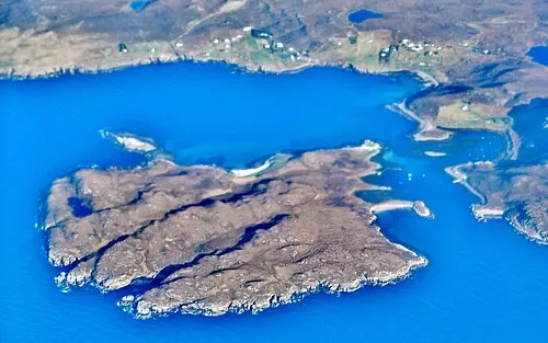 Isle Ristol Island, Highland9.5 km W
-
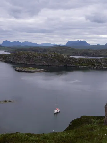 Tanera Beg Island, Highland11 km SW
-
Green Island Island, Highland2 km NW
-
Sgeir nam Boc Island, Highland2.3 km N
-
Loch Osgaig Lake, Highland2.7 km SW
Sources & licences
Data last updated: