- Elevation
- 662 m
- above sea level
- Local time
- UTC+00:00
- Europe/London · UTC+00:00
- Airports
- WIC Wick John O'Groats Airport80 km
- INV Inverness Airport99 km
About Sgor a' Chleirich
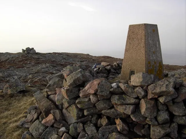
Sgor a' Chleirich is a mountain. Location: Highland, Scotland. Elevation: 662 m. The nearest airport is Wick John O'Groats Airport (80 km). Nearby sights include Sgor Fhionnaich and Beinn Bheag.
Climate of Sgor a' Chleirich
This month · November
A wet month
Day 5° · Night -1° · Rain 159 mm
- Hottest month
- July (day 13°)
- Coldest month
- February (night -3°)
- Wettest month
- November (159 mm)
- Driest month
- May (75 mm)
Bars: average monthly low and high temperature. Below: precipitation. Monthly averages for 1970–2000 at about 18 km resolution, adjusted for elevation. Highlighted months are mild and relatively dry. Source: WorldClim 2.1 (CC BY 4.0).
Show values as a table
| Month | Jan | Feb | Mar | Apr | May | Jun | Jul | Aug | Sep | Oct | Nov | Dec |
|---|---|---|---|---|---|---|---|---|---|---|---|---|
| Average high (°C) | 2° | 2° | 4° | 6° | 9° | 11° | 13° | 13° | 11° | 8° | 5° | 2° |
| Average low (°C) | -3° | -3° | -2° | -1° | 2° | 5° | 6° | 6° | 5° | 2° | -1° | -3° |
| Precipitation (mm) | 139 | 99 | 124 | 81 | 75 | 85 | 92 | 106 | 135 | 149 | 159 | 142 |
How to get to Sgor a' Chleirich
The nearest airport is Wick John O'Groats Airport (WIC), 80 km to the east as the crow flies. The nearest large city is Aberdeen, 198 km to the southeast.
Airports
- Wick John O'Groats Airport (WIC) Wick 80 kmeast
- Inverness Airport (INV) Inverness, Highland 99 kmsouth
- Kirkwall Airport (KOI) Kirkwall, Orkney Islands 109 kmnortheast
Nearby large cities
- Aberdeen Population: 198.6K 198 kmsoutheast
- Dundee Population: 148.2K 233 kmsoutheast
- Glasgow Population: 626.4K 283 kmsouth
- Edinburgh Population: 515K 283 kmsouth
Straight-line distances; road distances are longer. Airport data: OurAirports.
Nearest towns and villages
-
Ribigill Village, Highland5.5 km N
-
Tongue Village, Highland8.5 km N
-
Braetongue Village, Highland8.7 km N
-
Cashel Dhu Village, Highland11 km W
-
Achuvoldrach Village, Highland11 km N
-
Alltnacaillich Village, Highland11 km W
Nearby attractions & nature
Everything nearby-
Sgor Fhionnaich Mountain, Highland0.6 km SW
-
Beinn Bheag Mountain, Highland0.9 km E
-
Ben Loyal - An Caisteal Mountain, Highland1 km E
-
Carn an Tionail Mountain, Highland1.2 km SE
-
Cnoc Malmsgaig Mountain, Highland1.6 km NW
-
Sgor Chaonasaid Mountain, Highland1.7 km NE
-
Creag Riabhach Mountain, Highland1.9 km E
-
Cnoc an Drobhair Mountain, Highland2.5 km NW
More nature in United Kingdom
-
Ben Hiel Mountain, Highland3.1 km NE
-
Carn Fada Mountain, Highland3.5 km N
-
 Beinn Stumanadh Mountain, Highland7.4 km E
-
An t-Sron Mountain, Highland3.5 km W
-
Cnoc nan Cuilean Mountain, Highland3.8 km SE
-
Creag nan Ealachan Mountain, Highland4 km SW
Sources & licences
Data last updated: