- Elevation
- 761 m
- above sea level
- Local time
- UTC+00:00
- Europe/London · UTC+00:00
- Airports
- SYY Stornoway Airport76 km
- INV Inverness Airport81 km
About Sgurr Ruadh
Sgurr Ruadh is a mountain. Location: Highland, Scotland. Elevation: 761 m. The nearest airport is Stornoway Airport (76 km). Nearby sights include An Teallach and Sgurr Creag an Eich.
Climate of Sgurr Ruadh
This month · November
A wet month
Day 5° · Night -1° · Rain 283 mm
- Hottest month
- July (day 13°)
- Coldest month
- December (night -3°)
- Wettest month
- November (283 mm)
- Driest month
- May (114 mm)
Bars: average monthly low and high temperature. Below: precipitation. Monthly averages for 1970–2000 at about 18 km resolution, adjusted for elevation. Highlighted months are mild and relatively dry. Source: WorldClim 2.1 (CC BY 4.0).
Show values as a table
| Month | Jan | Feb | Mar | Apr | May | Jun | Jul | Aug | Sep | Oct | Nov | Dec |
|---|---|---|---|---|---|---|---|---|---|---|---|---|
| Average high (°C) | 3° | 3° | 4° | 7° | 10° | 12° | 13° | 13° | 11° | 8° | 5° | 2° |
| Average low (°C) | -2° | -3° | -2° | -1° | 2° | 5° | 6° | 6° | 4° | 2° | -1° | -3° |
| Precipitation (mm) | 277 | 191 | 235 | 132 | 114 | 126 | 139 | 161 | 232 | 264 | 283 | 274 |
How to get to Sgurr Ruadh
The nearest airport is Stornoway Airport (SYY), 76 km to the northwest as the crow flies. The nearest large city is Dundee, 205 km to the southeast.
Airports
- Stornoway Airport (SYY) Stornoway, Western Isles 76 kmnorthwest
- Inverness Airport (INV) Inverness, Highland 81 kmeast
- Benbecula Airport (BEB) Balivanich 129 kmwest
Nearby large cities
- Dundee Population: 148.2K 205 kmsoutheast
- Aberdeen Population: 198.6K 206 kmeast
- Glasgow Population: 626.4K 226 kmsouth
- Edinburgh Population: 515K 244 kmsoutheast
- Belfast Population: 348K 360 kmsouth
Straight-line distances; road distances are longer. Airport data: OurAirports.
Day trips from Sgurr Ruadh
Within 100 km: 40 historic and cultural sites, 3,829 natural sites, 1,038 lakes, rivers and coasts.
0–25 km495 places
- Eilean a' Char Island 25 kmN
- Tanera More Island 23 kmN
- Summer Isles Island 22 kmN
- Eilean Sùbhainn Island 17 kmSW
25–60 km1,472 places
- Eilean Dubh Island 56 kmN
- Moy Island Island 54 kmSE
- Eilean Tigh Island 53 kmSW
- Staffin Island Island 57 kmW
60–100 km2,940 places
- Isle of Skye Island 81 kmSW
- Isle of Harris Natural site 90 kmW
- Island of Raasay Island 66 kmSW
- The Coral Beaches Beach 87 kmSW
Straight-line distances.
Nearest towns and villages
-
Ardessie Village, Highland4.7 km N
-
Camusnagaul Village, Highland4.8 km NE
-
Dundonnell Village, Highland6 km NE
-
Badbea Village, Highland6.1 km N
-
Badcaul Village, Highland6.8 km N
-
Badrallach Village, Highland7 km N
Nearby attractions & nature
Everything nearby-
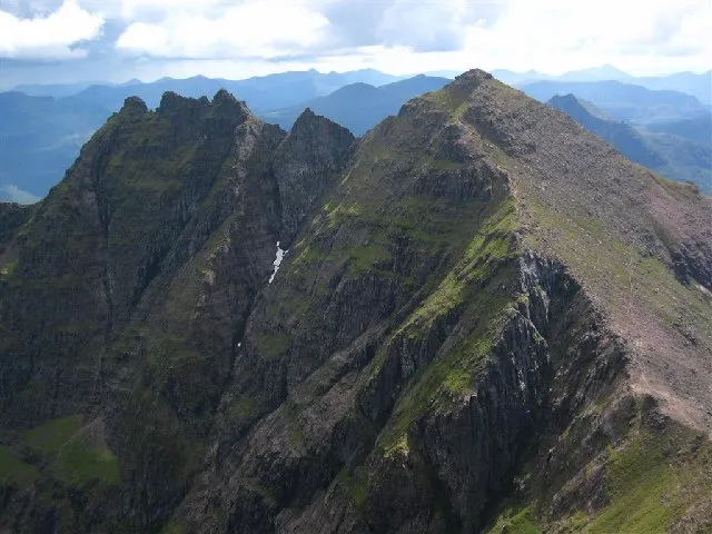 An Teallach Mountain, Highland3 km E
-
Sgurr Creag an Eich Mountain, Highland2 km SE
-
An Teallach - Sgurr Fiona Mountain, Highland2.8 km SE
-
Stob Loch an Eich Dhuibh Mountain, Highland2.3 km W
-
Ruigh Mheallain Mountain, Highland2.3 km N
-
Meall Garbh Mountain, Highland2.7 km NE
-
Lord Berkeley's Seat Mountain, Highland2.9 km SE
-
Corrag Bhuidhe Mountain, Highland3 km SE
More nature in United Kingdom
-
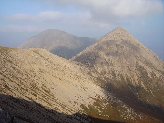 Beinn Dearg Mor Mountain, Highland5.2 km S
-
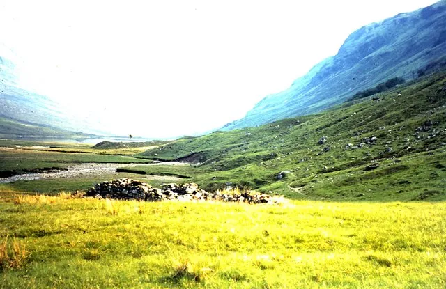 Strath na Sheallag Natural site, Highland5.9 km SE
-
Bidein a' Ghlas Thuill East Top Mountain, Highland3.1 km E
-
Carn Bad an Ducharaich Mountain, Highland3.5 km W
-
Glas Mheall Mor Mountain, Highland3.6 km E
-
Sail Mhor Mountain, Highland3.7 km N
Sources & licences
Data last updated: