- Elevation
- 1,104 m
- above sea level
- Local time
- UTC+00:00
- Europe/London · UTC+00:00
- Airports
- INV Inverness Airport86 km
- DND Dundee Airport96 km
About Sron Bealach Beithe
Sron Bealach Beithe is a mountain. Location: Highland, Scotland. Elevation: 1,104 m. The nearest airport is Inverness Airport (86 km). Nearby sights include Ben Alder and Beinn Bheoil.
Photos of Sron Bealach Beithe
-
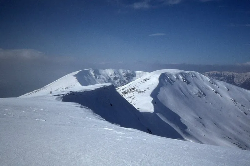
Beinn Eibhinn Jim Barton · CC BY-SA 2.0 -
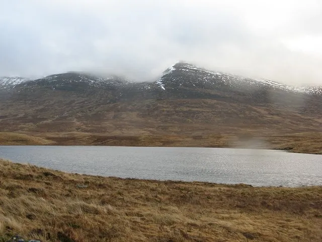
Beinn a' Chlachair Richard Webb · CC BY-SA 2.0 -
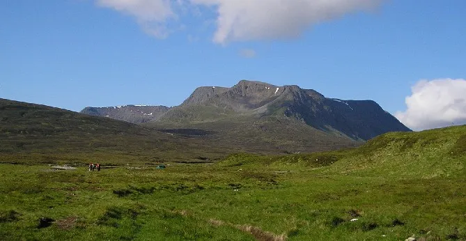
Ben Alder Grinner at en.wikipedia · CC BY-SA 2.5 -
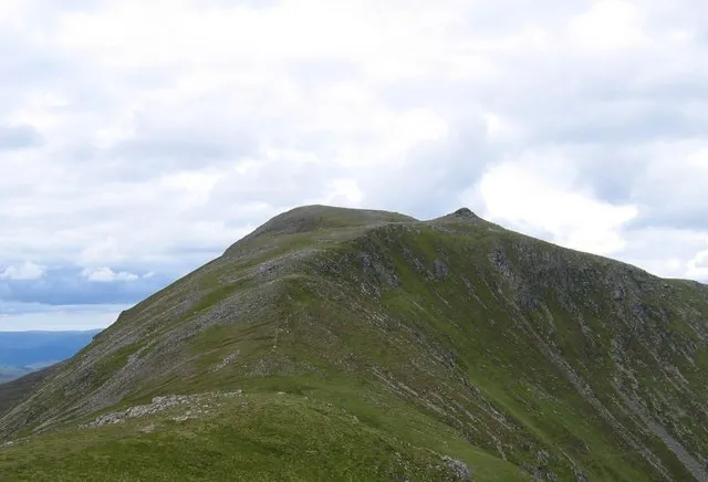
Beinn Bheoil Stuart Meek · CC BY-SA 2.0 -
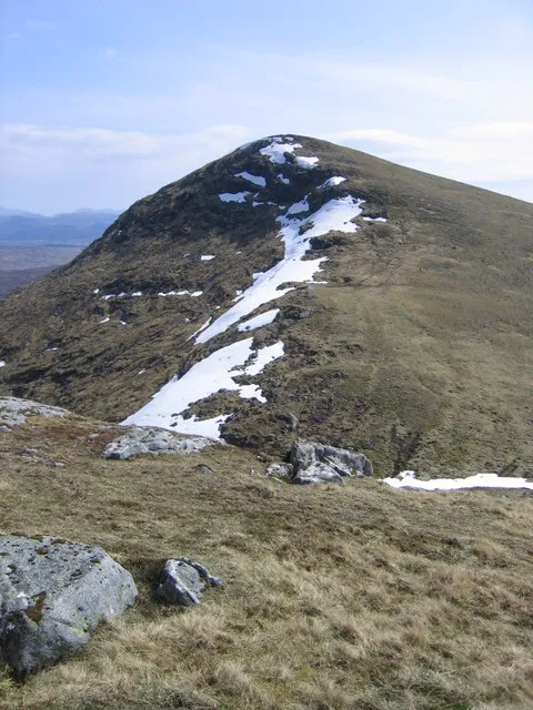
Sgor Gaibhre Ali Ogden · CC BY-SA 2.0


Climate of Sron Bealach Beithe
This month · November
A wet month
Day 2° · Night -3° · Rain 222 mm
- Hottest month
- July (day 11°)
- Coldest month
- February (night -5°)
- Wettest month
- January (260 mm)
- Driest month
- June (101 mm)
Bars: average monthly low and high temperature. Below: precipitation. Monthly averages for 1970–2000 at about 18 km resolution, adjusted for elevation. Highlighted months are mild and relatively dry. Source: WorldClim 2.1 (CC BY 4.0).
Show values as a table
| Month | Jan | Feb | Mar | Apr | May | Jun | Jul | Aug | Sep | Oct | Nov | Dec |
|---|---|---|---|---|---|---|---|---|---|---|---|---|
| Average high (°C) | 0° | 0° | 1° | 4° | 7° | 10° | 11° | 11° | 9° | 5° | 2° | 0° |
| Average low (°C) | -5° | -5° | -5° | -3° | -1° | 2° | 4° | 4° | 3° | 0° | -3° | -5° |
| Precipitation (mm) | 260 | 167 | 187 | 102 | 108 | 101 | 110 | 131 | 184 | 218 | 222 | 229 |
How to get to Sron Bealach Beithe
The nearest airport is Inverness Airport (INV), 86 km to the north as the crow flies. For international flights: Glasgow Airport (GLA) (104 km). The nearest large city is Dundee, 98 km to the east.
Airports
- Inverness Airport (INV) Inverness, Highland 86 kmnorth
- Dundee Airport (DND) Dundee 96 kmsoutheast
- Glasgow Airport (GLA) Glasgow 104 kmsouth
Nearby large cities
- Dundee Population: 148.2K 98 kmeast
- Glasgow Population: 626.4K 105 kmsouth
- Edinburgh Population: 515K 123 kmsoutheast
- Aberdeen Population: 198.6K 148 kmeast
- Belfast Population: 348K 262 kmsouth
Straight-line distances; road distances are longer. Airport data: OurAirports.
Day trips from Sron Bealach Beithe
Within 100 km: 86 historic and cultural sites, 4,964 natural sites, 1,225 lakes, rivers and coasts.
0–25 km355 places
- Eilean an Tuilaich Island 19 kmNW
- Eilean na Fead Island 24 kmNW
- Eilean an Righ Island 17 kmN
- Eilean nam Faoileag Island 13 kmS
25–60 km2,022 places
- Fraoch Eilean Island 59 kmSW
- Sgeir Dubh Island 59 kmSW
- Eilean na h-Ealaidh Island 35 kmNW
- Eilean Molach Island 27 kmSW
60–100 km3,898 places
- Oronsay Island 91 kmW
- Eriska Island 66 kmSW
- Moy Island Island 84 kmN
- Torsa Island Island 94 kmSW
Straight-line distances.
Nearest towns and villages
-
Corrour Shooting Lodge Village, Highland8.8 km W
-
Moy Village, Highland14 km NW
-
Corrour Village, Highland15 km W
-
Tòrgulbin Village, Highland14 km NW
-
Killichonan Village, Perth and Kinross13 km S
-
Camasericht Village, Perth and Kinross14 km S
Nearby attractions & nature
Everything nearby-
Ben Alder Mountain, Highland1.1 km N
-
Beinn Bheoil Mountain, Highland2 km NE
-
Sron Coire na h-Iolaire Mountain, Highland1.4 km E
-
An Dun Mountain, Highland2.6 km S
-
Meall an t-Slugain Mountain, Highland2.9 km NW
-
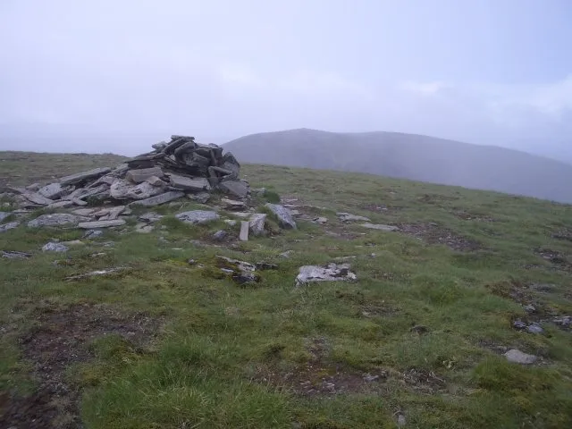 Aonach Beag Mountain, Highland5.4 km NW
-
Beinn a' Chumhainn Mountain, Perth and Kinross3.7 km W
-
Sgor Iutharn Mountain, Highland3.7 km N
More nature in United Kingdom
-
Beinn Eibhinn Mountain, Highland5.6 km NW
-
Beinn a' Chlachair Mountain, Highland7.9 km NW
-
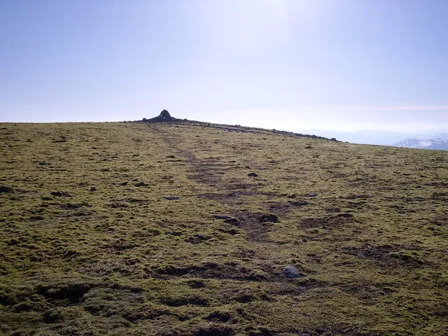 Geal Charn Mountain, Highland10 km N
-
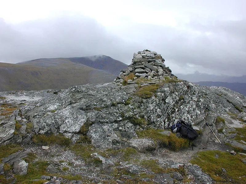 Creag Pitridh Mountain, Highland11 km N
-
Geal-charn Mountain, Highland4.9 km NW
-
Meall a' Bhealaich Mountain, Highland4.9 km W
Sources & licences
Data last updated: