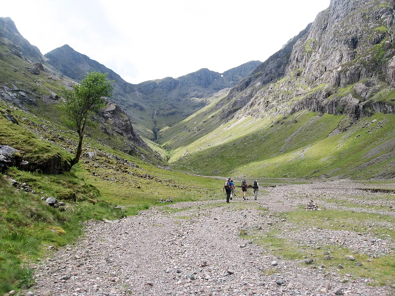
- Elevation
- 1,072 m
- above sea level
- Local time
- UTC+00:00
- Europe/London · UTC+00:00
- Airports
- GLA Glasgow Airport93 km
- TRE Tiree Airport115 km
About Stob Coire Sgreamhach
Stob Coire Sgreamhach is a mountain. Location: Highland, Scotland. Elevation: 1,072 m.
Stob Coire Sgreamhach (Scottish Gaelic for 'peak of the dreadful corrie') is a mountain in Lorn, south of Glen Coe in the Scottish Highlands. Its height is 1,072 metres (3,517 ft). It is part of the Bidean nam Bian massif and is often considered a subsidiary peak of Bidean, though since the 1997 revision of Munros Tables it has been classified as a separate Munro. To the northeast is the ridge of Beinn Fhada ('the long mountain').
Source: Wikipedia · CC BY-SA 4.0
At a glance
- Topographic prominence
- 128 m
Source: Wikidata
Photos of Stob Coire Sgreamhach
-

Scott Cormie · CC BY-SA 2.0 -

Dave souza · CC BY-SA 3.0 -

Dave souza · CC BY-SA 3.0 -

Graham Lewis · CC BY 2.0 -
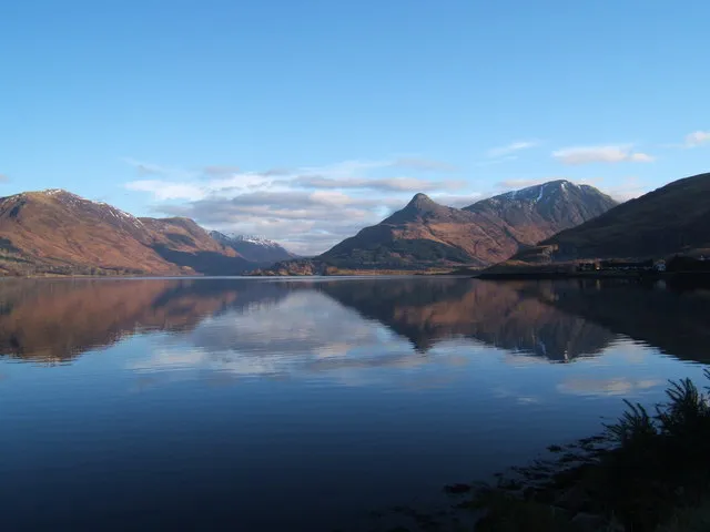
Pap of Glencoe Meg Megson · CC BY-SA 2.0


Climate of Stob Coire Sgreamhach
This month · November
A wet month
Day 2° · Night -2° · Rain 255 mm
- Hottest month
- July (day 11°)
- Coldest month
- January (night -4°)
- Wettest month
- January (277 mm)
- Driest month
- May (111 mm)
Bars: average monthly low and high temperature. Below: precipitation. Monthly averages for 1970–2000 at about 18 km resolution, adjusted for elevation. Highlighted months are mild and relatively dry. Source: WorldClim 2.1 (CC BY 4.0).
Show values as a table
| Month | Jan | Feb | Mar | Apr | May | Jun | Jul | Aug | Sep | Oct | Nov | Dec |
|---|---|---|---|---|---|---|---|---|---|---|---|---|
| Average high (°C) | 0° | 0° | 2° | 5° | 8° | 10° | 11° | 11° | 9° | 5° | 2° | 0° |
| Average low (°C) | -4° | -4° | -4° | -2° | 0° | 3° | 5° | 5° | 3° | 1° | -2° | -4° |
| Precipitation (mm) | 277 | 181 | 215 | 122 | 111 | 113 | 132 | 157 | 216 | 246 | 255 | 262 |
How to get to Stob Coire Sgreamhach
The nearest airport is Glasgow Airport (GLA), 93 km to the southeast as the crow flies. The nearest large city is Glasgow, 98 km to the southeast.
Airports
- Glasgow Airport (GLA) Glasgow 93 kmsoutheast
- Tiree Airport (TRE) Balemartine, Argyll and Bute 115 kmwest
- Inverness Airport (INV) Inverness, Highland 116 kmnortheast
Nearby large cities
- Glasgow Population: 626.4K 98 kmsoutheast
- Dundee Population: 148.2K 127 kmeast
- Edinburgh Population: 515K 136 kmsoutheast
- Aberdeen Population: 198.6K 186 kmeast
- Belfast Population: 348K 234 kmsouth
Straight-line distances; road distances are longer. Airport data: OurAirports.
Day trips from Stob Coire Sgreamhach
Within 100 km: 85 historic and cultural sites, 4,767 natural sites, 1,370 lakes, rivers and coasts.
0–25 km414 places
- Shuna Island Island 24 kmW
- Sgeir Dubh Island 21 kmSW
- Tom an t-Seallaidh (Shuna) Island 24 kmW
- Eilean Molach Island 17 kmE
25–60 km2,228 places
- Oronsay Island 56 kmW
- Eriska Island 27 kmSW
- Torsa Island Island 57 kmSW
- Shuna Island 59 kmSW
60–100 km3,580 places
- Great Cumbrae Island Island 97 kmS
- Colonsay Island 98 kmSW
- Eigg Island 76 kmNW
- Kiloran Beach Beach 94 kmSW
Straight-line distances.
Nearest towns and villages
-
Dalness Village, Highland2.9 km SE
-
 Glencoe Village, Highland7.5 km NW
-
 Kinlochleven Village, Highland8.5 km N
-
 Ballachulish Village, Highland8.9 km NW
-
Glenceitlein Village, Highland5.9 km S
-
Carnach Village, Highland6.7 km NW
Nearby attractions & nature
Everything nearby-
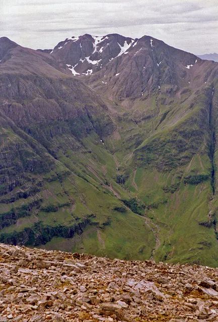 Bidean nam Bian Mountain, Highland1.3 km NW
-
Beinn Fhada Mountain, Highland0.6 km NE
-
Beinn Fhada East Top Mountain, Highland1.1 km NE
-
Stob Coire nan Lochan Mountain, Highland1.4 km NW
-
Stob Coire nan Easain Mountain, Highland1.4 km SE
-
Bidean nam Bian West Top Mountain, Highland1.5 km W
-
Stob Coire nam Beith Mountain, Highland1.8 km NW
-
Gearr Aonach Mountain, Highland2.2 km N
More nature in United Kingdom
-
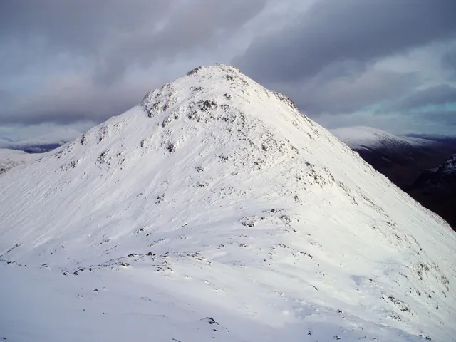 Buachaille Etive Beag - Stob Coire Raineach Mountain, Highland3.8 km E
-
Aonach Eagach - Sgorr nam Fiannaidh Mountain, Highland4.9 km N
-
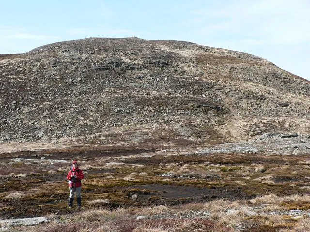 Aonach Eagach - Meall Dearg Mountain, Highland4.7 km N
-
Buachaille Etive Mor - Stob na Broige Mountain, Highland3.7 km E
-
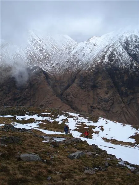 Beinn Ceitlein Mountain, Highland5.2 km SE
-
Aonach Dubh Mountain, Highland2.2 km N
Sources & licences
Data last updated: · 2 independent sources