The Saddle
Located in Highland, Scotland Coordinates: 57°09′44″ N 5°24′53″ W
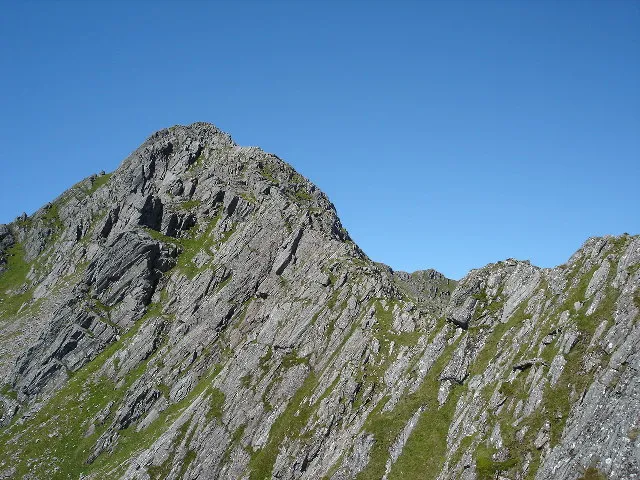
- Elevation
- 1,010 m
- above sea level
- Local time
- UTC+00:00
- Europe/London · UTC+00:00
About The Saddle
The Saddle is a mountain. Location: Highland, Scotland. Elevation: 1,010 m.
The Saddle (Scottish Gaelic: An Dìollaid) is one of the great Scottish mountains; seen from the site of the Battle of Glen Shiel it forms (with Faochag) one of the best-known views in the Highlands. It is in the Highland local government area, on the boundary between the counties of Inverness-shire and Ross and Cromarty. The mountain provides exciting and challenging climbing. The traverse of the Forcan Ridge – in winter or summer – is one of the classic Scottish mountain expeditions.
Read more on Wikipedia Text: Wikipedia contributors · CC BY-SA 4.0 · shortened
At a glance
- Topographic prominence
- 334 m
Source: Wikidata
In comparison
- No. 234 of 18223 mountains in United Kingdom by elevation
- 104 sights and natural places within 10 km The Saddle - Trig Point, The Saddle East Top
Nearest towns and villages
-
Shiel Bridge Village, Highland5.8 km N
-
Kinloch Hourn Village, Highland6.2 km S
-
Ratagan Village, Highland6.9 km N
-
Invershiel Village, Highland6.3 km N
-
Ault a' chruinn Village, Highland7.4 km N
-
Morvich Village, Highland8.3 km N
Nearby attractions & nature
Everything nearby-
The Saddle - Trig Point Mountain, Highland0.1 km W
-
The Saddle East Top Mountain, Highland0.3 km E
-
The Saddle North Top Mountain, Highland0.3 km N
-
Sgurr na Forcan Mountain, Highland0.4 km E
-
Sgurr na Creige Mountain, Highland0.7 km N
-
The Saddle West Top Mountain, Highland0.7 km W
-
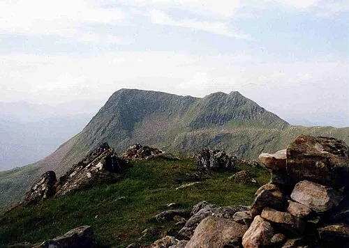 Sgurr na Sgine Mountain, Highland2 km SE
-
Spidean Dhomhuill Bhric Mountain, Highland1.4 km W
More nature in United Kingdom
-
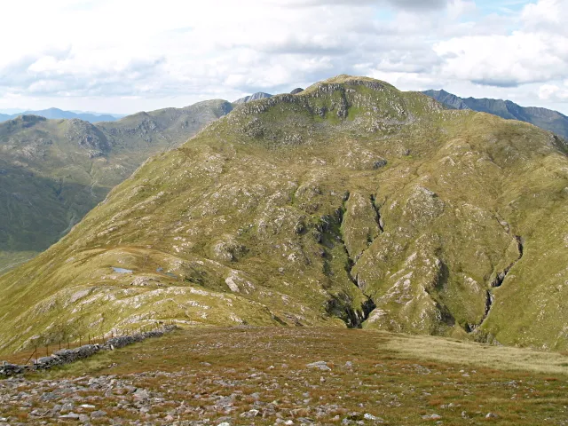 Creag nan Damh Mountain, Highland5.1 km E
-
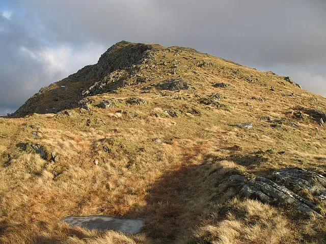 Buidhe Bheinn Mountain, Highland4.9 km SE
-
Sgurr na Sgine NW Top Mountain, Highland1.7 km SE
-
Sgurr Leac nan Each Mountain, Highland1.8 km W
-
Faochag Mountain, Highland2 km E
-
Sgurr na Laire Brice Mountain, Highland4.6 km W
Sources & licences
Data last updated: · 2 independent sources