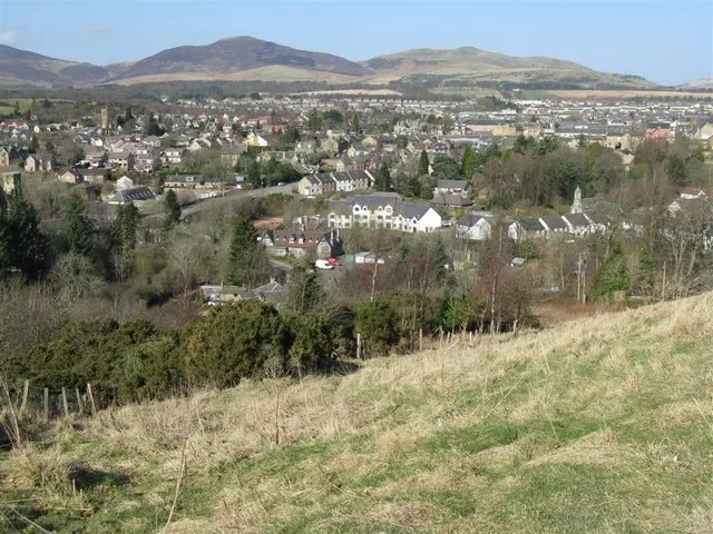
Penicuik
Located in Midlothian, Scotland Coordinates: 55°49′52″ N 3°13′34″ W
- Population
- 16,150
- 16.2K
- Elevation
- 187 m
- above sea level
- Local time
- UTC+00:00
- Europe/London · UTC+00:00
About Penicuik
Penicuik is a town. Location: Midlothian, Scotland. Population: 16,150. Elevation: 187 m.
Penicuik ( PEN-ee-kuuk; Scottish Gaelic: Ceann na Cuthaige) is a town and former burgh in Midlothian, Scotland, lying on the west bank of the River North Esk. It lies on the A701 midway between Edinburgh and Peebles, east of the Pentland Hills.
Read more on Wikipedia Text: Wikipedia contributors · CC BY-SA 4.0 · shortened
In comparison
- No. 2 of 12 places in Midlothian by population
- Nearest larger town: Bonnyrigg, 9 km NE
- 63 sights and natural places within 10 km Turnhouse Hill, Carnethy Hill
Nearby attractions & nature
Everything nearby-
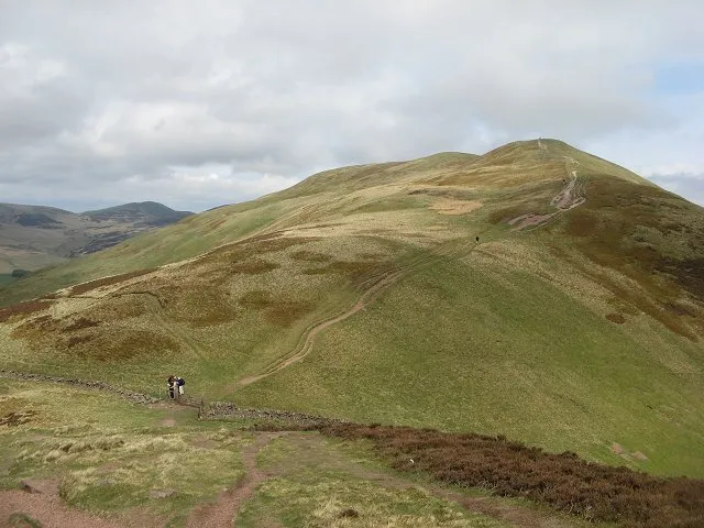 Turnhouse Hill Mountain, Midlothian3 km NW
-
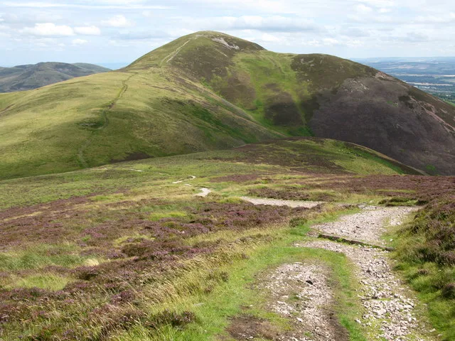 Carnethy Hill Mountain, Midlothian3.3 km NW
-
Gask Hill Mountain, Midlothian4.5 km NW
-
Fala Knowe Mountain, Midlothian5.1 km N
-
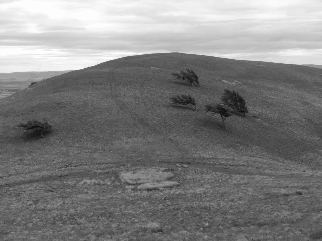 Braid Law Mountain, Midlothian5.2 km W
-
Bell's Hill Mountain, Midlothian4.8 km NW
-
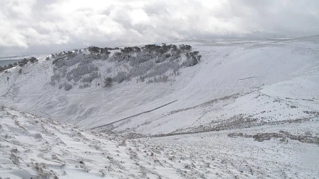 Cap Law Mountain, Midlothian5.9 km W
-
White Cleugh Natural site, Scotland4.6 km NW
Other cities and towns in Midlothian
Sources & licences
Data last updated: · 2 independent sources