Strath Spey
Located in Moray, Scotland Coordinates: 57°27′00″ N 3°18′00″ W
- Elevation
- 222 m
- above sea level
- Local time
- UTC+00:00
- Europe/London · UTC+00:00
About Strath Spey
Strath Spey is a natural site. Location: Moray, Scotland.
Strathspey (Scottish Gaelic: Srath Spè, [s̪t̪ɾa ˈs̪peː]) is a region of the Scottish Highlands comprising part of the valley of the Spey. It includes the towns of Aviemore, Boat of Garten, Grantown-on-Spey, and Aberlour. Strathspey, as traditionally defined, stretches from Upper Craigellachie (near Aviemore) to Lower Craigellachie (near the village of the same name). Above it is Badenoch and below it is the low-lying region of Speyside.
Read more on Wikipedia Text: Wikipedia contributors · CC BY-SA 4.0 · shortened
In comparison
- 32 sights and natural places within 10 km Hill of Phones, Island Roary
Nearest towns and villages
-
Carron Village, Moray0.7 km N
-
Charlestown of Aberlour Village, Moray5.1 km NE
-
Rechlerich Village, Moray2.7 km S
-
Marypark Village, Moray3.4 km SW
-
Knockando Village, Moray3.1 km W
-
Archiestown Village, Moray3.6 km N
Nearby attractions & nature
Everything nearby-
Hill of Phones Mountain, Moray1.5 km SW
-
Island Roary Island, Moray2.1 km W
-
Tomfarclas Hill Mountain, Moray3.5 km SW
-
Stony Island Island, Moray3.5 km W
-
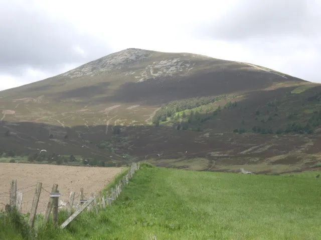 Ben Rinnes Mountain, Moray6.3 km SE
-
Craigroy Island Island, Moray3.8 km W
-
Allt Arder River, Moray4 km W
-
Scoot More Mountain, Moray5.1 km SW
Sources & licences
Data last updated: · 2 independent sources