- Elevation
- 146 m
- above sea level
- Local time
- UTC+00:00
- Europe/London · UTC+00:00
- Airports
- KOI Kirkwall Airport24 km
- EOI Eday Airport39 km
About Merranblo
Merranblo is a mountain. Location: Orkney Islands, Scotland. Elevation: 146 m. The nearest airport is Kirkwall Airport (24 km). Nearby sights include Hill of Lynedardy and Hill of Miffia.
Photos of Merranblo
-
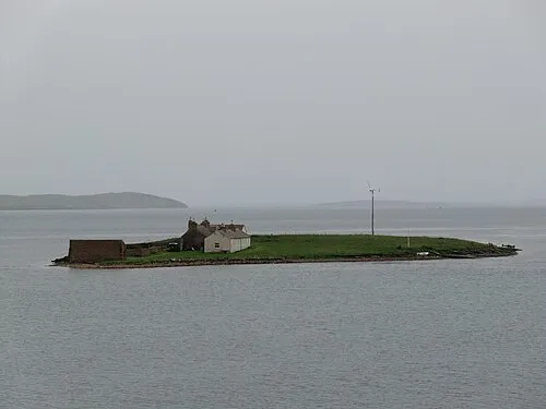
Inner Holm W. L. Tarbert · CC BY-SA 3.0 -
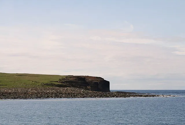
Row Head Des Colhoun · CC BY-SA 2.0 -
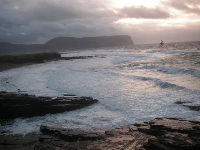
Breck Ness John Ireland · CC BY-SA 2.0


Climate of Merranblo
This month · November
A wet month
Day 8° · Night 3° · Rain 136 mm
- Hottest month
- August (day 15°)
- Coldest month
- February (night 1°)
- Wettest month
- November (136 mm)
- Driest month
- May (57 mm)
Bars: average monthly low and high temperature. Below: precipitation. Monthly averages for 1970–2000 at about 18 km resolution, adjusted for elevation. Highlighted months are mild and relatively dry. Source: WorldClim 2.1 (CC BY 4.0).
Show values as a table
| Month | Jan | Feb | Mar | Apr | May | Jun | Jul | Aug | Sep | Oct | Nov | Dec |
|---|---|---|---|---|---|---|---|---|---|---|---|---|
| Average high (°C) | 6° | 6° | 6° | 8° | 10° | 13° | 14° | 15° | 13° | 11° | 8° | 6° |
| Average low (°C) | 2° | 1° | 2° | 3° | 5° | 7° | 9° | 9° | 8° | 6° | 3° | 2° |
| Precipitation (mm) | 118 | 90 | 105 | 69 | 57 | 59 | 66 | 79 | 108 | 126 | 136 | 124 |
How to get to Merranblo
The nearest airport is Kirkwall Airport (KOI), 24 km to the east as the crow flies. The nearest large city is Aberdeen, 218 km to the south.
Airports
- Kirkwall Airport (KOI) Kirkwall, Orkney Islands 24 kmeast
- Eday Airport (EOI) Eday 39 kmnortheast
- Wick John O'Groats Airport (WIC) Wick 60 kmsouth
Nearby large cities
- Aberdeen Population: 198.6K 218 kmsouth
- Dundee Population: 148.2K 281 kmsouth
- Edinburgh Population: 515K 338 kmsouth
- Glasgow Population: 626.4K 352 kmsouth
Straight-line distances; road distances are longer. Airport data: OurAirports.
Day trips from Merranblo
Within 100 km: 37 historic and cultural sites, 736 natural sites, 288 lakes, rivers and coasts.
0–25 km240 places
- Hoy Island 15 kmS
- Flotta Island 21 kmSE
- Wyre Island 25 kmNE
- Gairsay Island 23 kmNE
25–60 km372 places
- Shapinsay Island 26 kmE
- Rousay Island 26 kmNE
- Eday Island 38 kmNE
- Papa Westray Island Island 47 kmNE
60–100 km449 places
- Eilean nan Ron Island 76 kmSW
- Rabbit Islands Island 80 kmSW
- North Ronaldsay Island 67 kmNE
- Neave Island Island 75 kmSW
Straight-line distances.
Nearest towns and villages

Nearby attractions & nature
Everything nearby-
Hill of Lynedardy Mountain, Orkney Islands1.1 km SW
-
Hill of Miffia Mountain, Orkney Islands1.4 km N
-
Redland Hill Mountain, Orkney Islands2.2 km NE
-
Breck Ness Natural site, Orkney Islands2.9 km SW
-
Brinkies Brae Mountain, Orkney Islands2.6 km SE
-
Inner Holm Island, Orkney Islands3.8 km SE
-
North Gaulton Castle Mountain, Orkney Islands2.8 km NW
-
Hamla Voe Natural site, Orkney Islands3.3 km SE
More nature in United Kingdom
-
Gyran Mountain, Orkney Islands3.7 km N
-
Row Head Natural site, Orkney Islands7 km N
-
Kellyan Hellyan Natural site, Orkney Islands3.5 km NW
-
Garthna Geo Natural site, Orkney Islands3.5 km NW
-
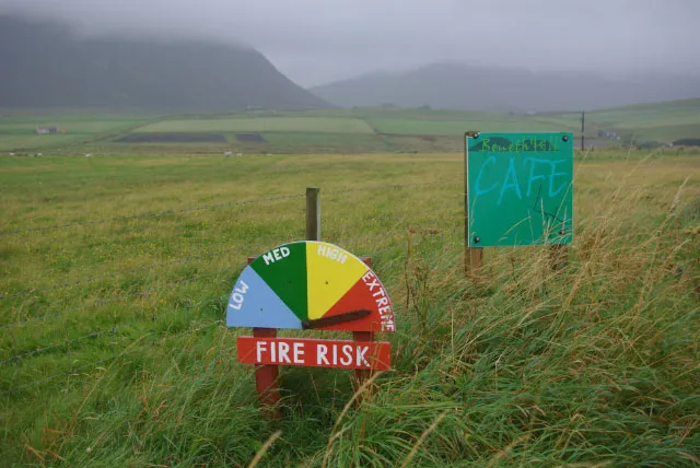 Mo Ness Natural site, Orkney Islands8 km S
-
Bight of Mousland Natural site, Orkney Islands2.8 km NW
Sources & licences
Data last updated: