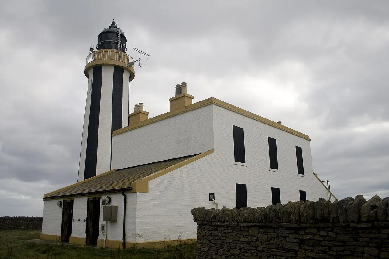
Start Point Lighthouse
Located in Orkney Islands, Scotland Coordinates: 59°16′39″ N 2°22′33″ W
- Local time
- UTC+00:00
- Europe/London · UTC+00:00
- Elevation
- 5 m
- above sea level
About Start Point Lighthouse
Start Point Lighthouse is a landmark. Location: Orkney Islands, Scotland.
Sanday (, Scots: Sandee) is one of the inhabited islands of Orkney, which lie off the north coast of mainland Scotland. With an area of 50.43 km2 (19.5 sq mi), it is the third largest of the Orkney Islands. The main centres of population are Lady Village and Kettletoft. Sanday can be reached by Orkney Ferries or by plane (Sanday Airport) from Kirkwall on the Orkney Mainland. On Sanday an on-demand public minibus service connects to the ferry.
Read more on Wikipedia Text: Wikipedia contributors · CC BY-SA 4.0 · shortened
At a glance
- Built
- 1806
- Heritage designation
- category B listed building
- Height
- 25 m
Source: Wikidata
In comparison
- 18 sights and natural places within 10 km Bay of Wheevi, Lop Ness
Airports nearest to Start Point Lighthouse
- Eday Airport (EOI) Eday 25 km
- Kirkwall Airport (KOI) Kirkwall, Orkney Islands 47 km
- Sumburgh Airport (LSI) Lerwick, Shetland 91 km
Straight-line distance; airports with scheduled flights only. Source: OurAirports (public domain).
Nearby attractions & nature
Everything nearby-
Lop Ness Natural site, Orkney Islands2.4 km W
-
Bay of Wheevi Natural site, Orkney Islands1.5 km NW
-
Bay of Sowerdie Natural site, Orkney Islands3.4 km NW
-
Scuthvie Bay Natural site, Orkney Islands3.4 km NW
-
Tafts Ness Natural site, Orkney Islands5 km NW
-
Bay of Sandquoy Natural site, Orkney Islands4.9 km NW
-
Bay of Lopness Natural site, Orkney Islands4.4 km W
-
West Ayre Natural site, Orkney Islands6.2 km W
Nearest towns and villages
-
Northwall Village, Orkney Islands2.8 km W
-
Rusness Village, Orkney Islands4.9 km W
-
Sellibister Village, Orkney Islands6.5 km W
-
Newark Village, Orkney Islands6.8 km W
More sights in Orkney Islands
-
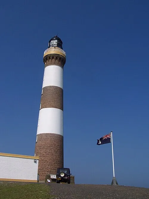 North Ronaldsay Lighthouse Landmark, Orkney Islands13 km N
-
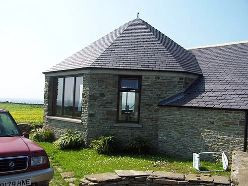 North Ronaldsay Bird Observatory Attraction, Orkney Islands9.7 km NW
-
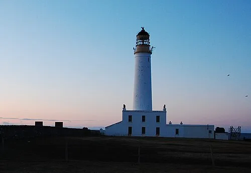 Auskerry Lighthouse Landmark, Orkney Islands30 km S
-
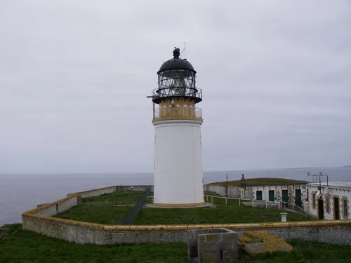 Copinsay Lighthouse Landmark, Orkney Islands46 km S
-
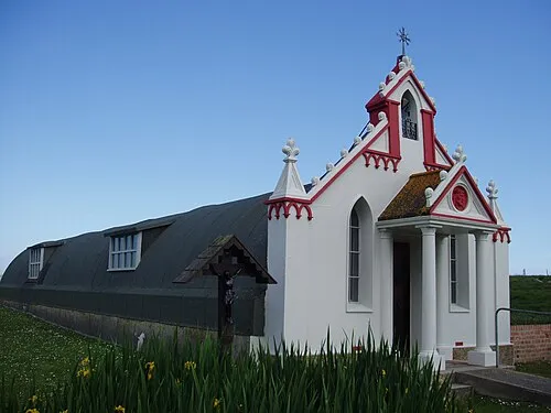 Italian Chapel Attraction, Orkney Islands52 km SW
-
Westray Lighthouse Landmark, Orkney Islands40 km W
Sources & licences
Data last updated: · 2 independent sources