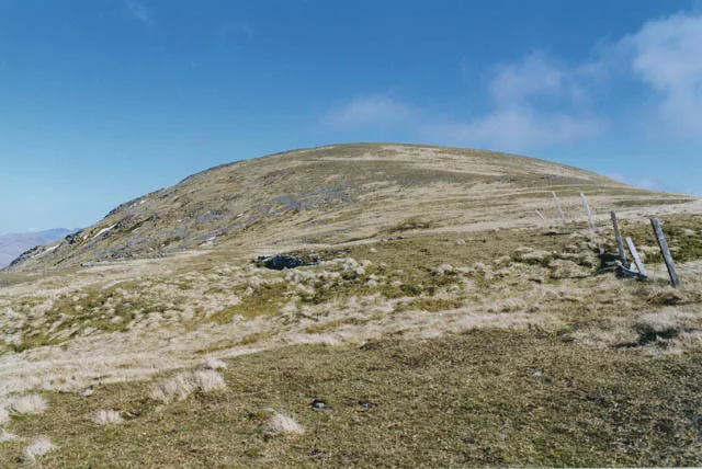
- Elevation
- 953 m
- above sea level
- Local time
- UTC+00:00
- Europe/London · UTC+00:00
- Airports
- GLA Glasgow Airport75 km
- DND Dundee Airport100 km
About Beinn Mhanach
Beinn Mhanach is a mountain. Location: Perth and Kinross, Scotland. Elevation: 953 m.
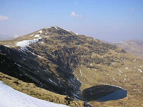
Beinn Mhanach (Scottish Gaelic for 'monks' mountain'), also anglicized Ben Vannoch, is a mountain in the Breadalbane region of the Scottish Highlands. It is east from Bridge of Orchy, overlooking Loch Lyon to the south and Gleann Cailliche to the north. It is a Munro with a height of 953 metres (3,127 ft). The mountain has two rounded summits; the western one is called Beinn a 'Chuirn and rises to 923 metres (3,028 ft).
Source: Wikipedia · CC BY-SA 4.0
At a glance
- Topographic prominence
- 315 m
Source: Wikidata
Photos of Beinn Mhanach
-

Trevor Littlewood · CC BY-SA 2.0 -
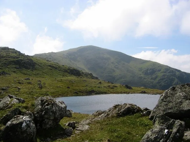
Beinn Heasgarnich Richard Webb · CC BY-SA 2.0 -
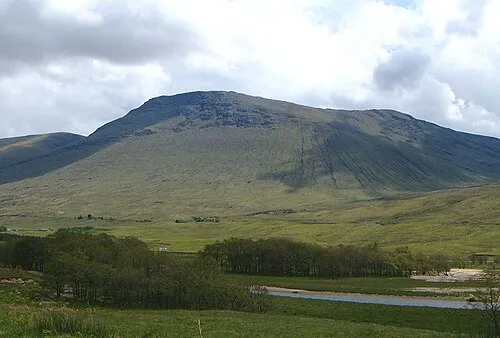
Beinn Achaladair Mick Knapton at English Wikipedia · CC BY-SA 3.0 -
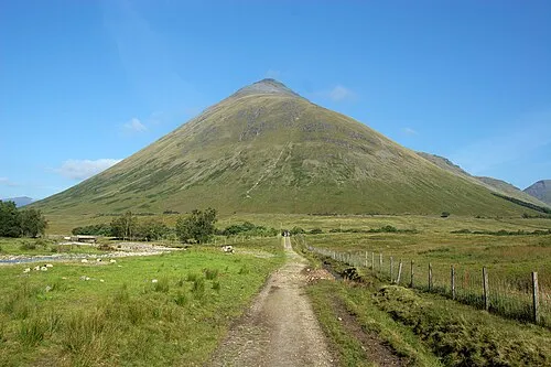
Beinn Dorain Michael Schulze · CC BY-SA 2.5


Climate of Beinn Mhanach
This month · November
A wet month
Day 3° · Night -2° · Rain 251 mm
- Hottest month
- July (day 12°)
- Coldest month
- February (night -4°)
- Wettest month
- January (292 mm)
- Driest month
- June (112 mm)
Bars: average monthly low and high temperature. Below: precipitation. Monthly averages for 1970–2000 at about 18 km resolution, adjusted for elevation. Highlighted months are mild and relatively dry. Source: WorldClim 2.1 (CC BY 4.0).
Show values as a table
| Month | Jan | Feb | Mar | Apr | May | Jun | Jul | Aug | Sep | Oct | Nov | Dec |
|---|---|---|---|---|---|---|---|---|---|---|---|---|
| Average high (°C) | 0° | 0° | 2° | 5° | 8° | 10° | 12° | 12° | 9° | 6° | 3° | 1° |
| Average low (°C) | -4° | -4° | -4° | -2° | 1° | 3° | 5° | 5° | 4° | 1° | -2° | -4° |
| Precipitation (mm) | 292 | 188 | 210 | 117 | 120 | 112 | 125 | 150 | 210 | 247 | 251 | 260 |
How to get to Beinn Mhanach
The nearest airport is Glasgow Airport (GLA), 75 km to the south as the crow flies. The nearest large city is Glasgow, 78 km to the south.
Airports
- Glasgow Airport (GLA) Glasgow 75 kmsouth
- Dundee Airport (DND) Dundee 100 kmeast
- Edinburgh Airport (EDI) Ingliston, Edinburgh 102 kmsoutheast
Nearby large cities
- Glasgow Population: 626.4K 78 kmsouth
- Dundee Population: 148.2K 103 kmeast
- Edinburgh Population: 515K 111 kmsoutheast
- Aberdeen Population: 198.6K 170 kmnortheast
- Belfast Population: 348K 230 kmsouth
Straight-line distances; road distances are longer. Airport data: OurAirports.
Day trips from Beinn Mhanach
Within 100 km: 127 historic and cultural sites, 4,727 natural sites, 1,273 lakes, rivers and coasts.
0–25 km381 places
- Eilean Molach Island 11 kmNW
- Eilean nam Faoileag Island 23 kmNE
- Eilean Beal na Gaoire Island 21 kmNE
- Eilean na h-Iolaire Island 11 kmNW
25–60 km1,956 places
- Eriska Island 47 kmW
- Shuna Island Island 46 kmW
- Lismore Island Island 56 kmW
- Kerrera Island 59 kmW
60–100 km3,790 places
- Great Cumbrae Island Island 87 kmS
- Hunterston Sands Beach 91 kmS
- Scarba Island 77 kmSW
- Oronsay Island 80 kmW
Straight-line distances.
Nearest towns and villages
-
Invermearan Village, Perth and Kinross4.9 km E
-
Bridge of Orchy Village, Argyll and Bute7.8 km W
-
Achallader Village, Argyll and Bute6.1 km NW
-
Auch Village, Argyll and Bute7.6 km SW
-
Pubil Village, Perth and Kinross9.1 km E
-
Black Mount Village, Argyll and Bute9.4 km W
Nearby attractions & nature
Everything nearby-
Beinn a' Chuirn Mountain, Argyll and Bute1.4 km W
-
Beinn Achaladair Mountain, Perth and Kinross3.6 km NW
-
Beinn a' Chreachain Mountain, Perth and Kinross2.9 km N
-
Meall Buidhe Mountain, Perth and Kinross3 km NW
-
Beinn nam Fuaran Mountain, Argyll and Bute3.2 km S
-
Beinn Heasgarnich Mountain, Stirling4.9 km SE
-
Beinn Achaladair South Top Mountain, Perth and Kinross3.3 km W
-
Loch Lyon Lake, Perth and Kinross2.8 km E
More nature in United Kingdom
-
Meall Daill Mountain, Perth and Kinross4.4 km NE
-
 Stuchd an Lochain Mountain, Perth and Kinross12 km E
-
Beinn Sheasgarnaich North Top Mountain, Perth and Kinross5.2 km E
-
Beinn a' Chaisteil Mountain, Perth and Kinross5.4 km SW
-
Guala Mhor Mountain, Perth and Kinross5.5 km NE
-
Meall na Feithe Faide Mountain, Perth and Kinross5.8 km NE
Sources & licences
Data last updated: · 2 independent sources