- Local time
- UTC+00:00
- Europe/London · UTC+00:00
- Airports
- LSI Sumburgh Airport68 km
- EOI Eday Airport157 km
About Dore Holm
Dore Holm is an island. Location: Shetland Islands, Scotland.
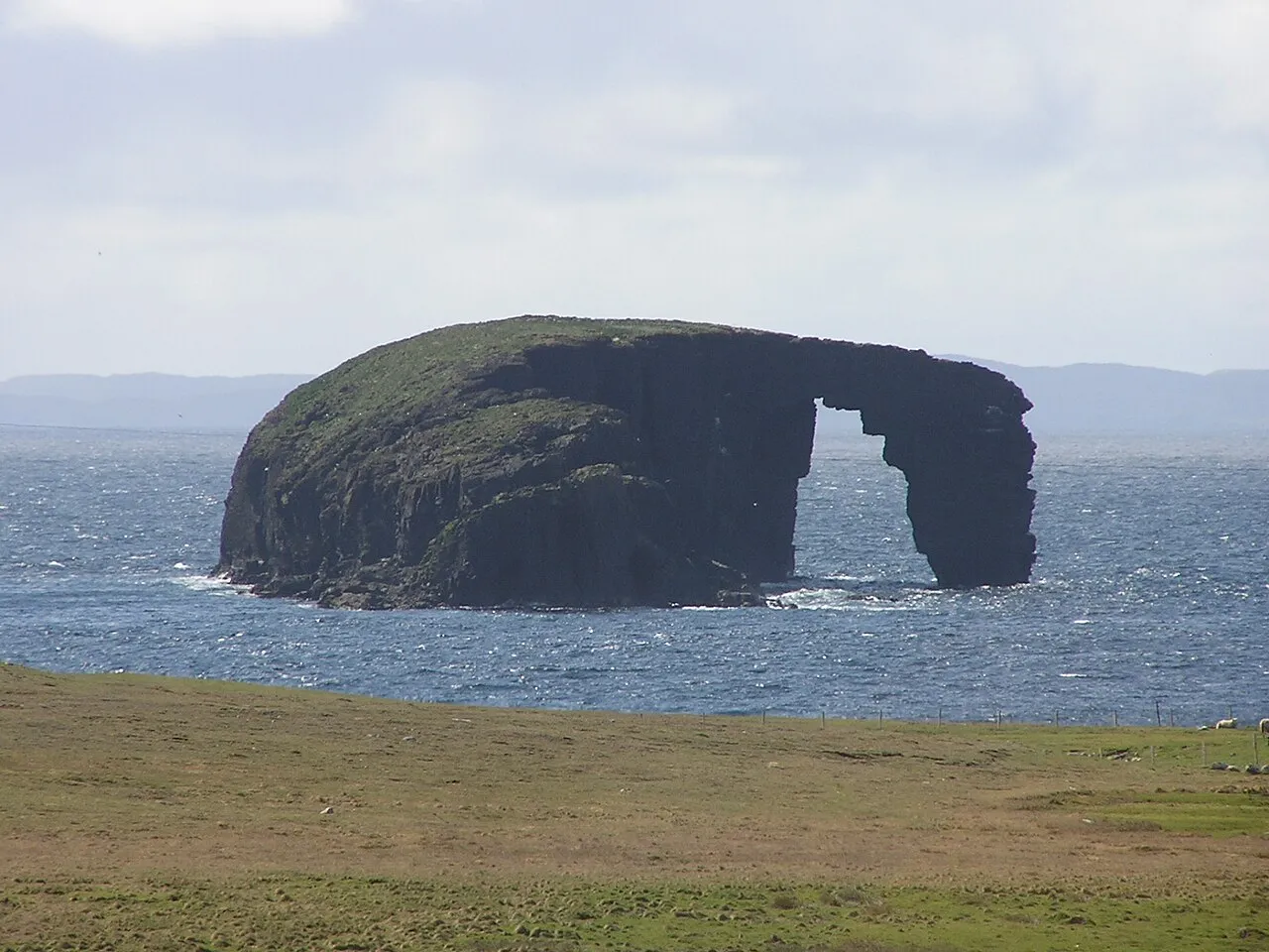
The Dore Holm (Shaetlan pronunciation: [ˌdoər ˈhɒm] dor-HOM) is a small uninhabited islet off the south coast of Esha Ness, located in the north-west of Mainland, Shetland, Scotland. Its natural arch can be seen from the coast between Tangwick and Stenness. The shape of the arch has been compared to a horse drinking deeply from the water. The name appears to be derived from 'door', the word 'holm' being of Scandinavian origin and meaning a small island.
Source: Wikipedia · CC BY-SA 4.0
Photos of Dore Holm
-

Andy Waddington · CC BY-SA 2.0 -

PaulT · CC BY-SA 4.0 -

Ronnie Robertson · CC BY-SA 2.0 -

David Purchase · CC BY-SA 2.0 -

Colin Smith · CC BY-SA 2.0


Climate of Dore Holm
This month · November
A wet month
Day 9° · Night 5° · Rain 156 mm
- Hottest month
- August (day 14°)
- Coldest month
- February (night 3°)
- Wettest month
- November (156 mm)
- Driest month
- May (52 mm)
Bars: average monthly low and high temperature. Below: precipitation. Monthly averages for 1970–2000 at about 18 km resolution, adjusted for elevation. Highlighted months are mild and relatively dry. Source: WorldClim 2.1 (CC BY 4.0).
Show values as a table
| Month | Jan | Feb | Mar | Apr | May | Jun | Jul | Aug | Sep | Oct | Nov | Dec |
|---|---|---|---|---|---|---|---|---|---|---|---|---|
| Average high (°C) | 7° | 6° | 7° | 8° | 11° | 13° | 14° | 14° | 13° | 11° | 9° | 7° |
| Average low (°C) | 3° | 3° | 3° | 4° | 6° | 8° | 10° | 10° | 9° | 7° | 5° | 4° |
| Precipitation (mm) | 139 | 106 | 125 | 74 | 52 | 56 | 58 | 78 | 118 | 136 | 156 | 147 |
How to get to Dore Holm
The nearest airport is Sumburgh Airport (LSI), 68 km to the south as the crow flies. The nearest large city is Aberdeen, 372 km to the south.
Airports
- Sumburgh Airport (LSI) Lerwick, Shetland 68 kmsouth
- Eday Airport (EOI) Eday 157 kmsouthwest
- Kirkwall Airport (KOI) Kirkwall, Orkney Islands 184 kmsouthwest
Nearby large cities
- Aberdeen Population: 198.6K 372 kmsouth
- Bergen Population: 294K 381 kmeast
Straight-line distances; road distances are longer. Airport data: OurAirports.
Day trips from Dore Holm
Within 100 km: 11 historic and cultural sites, 584 natural sites, 259 lakes, rivers and coasts.
0–25 km279 places
- Uynarey Island Island 23 kmE
- Little Roe Island Island 19 kmE
- Bigga Island Island 23 kmE
- Burka Stack Island 9 kmNE
25–60 km535 places
- Shetland Islands Island 26 kmSE
- Whalsay Island 37 kmSE
- Unst Island 50 kmNE
- Trondra Island 43 kmSE
60–100 km40 places
- Outer Flaess Island 61 kmNE
- Inner Flaess Island 61 kmNE
- Horse Island Island 71 kmS
- The Kame Natural site 63 kmS
Straight-line distances.
Nearest towns and villages
Nearby attractions & nature
Everything nearby-
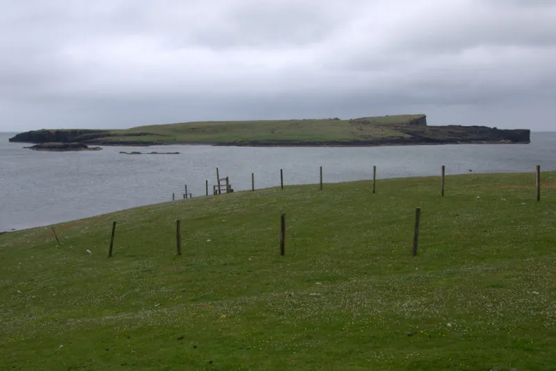 Isle of Stenness Island, Shetland Islands1.3 km NW
-
Sae Breck Mountain, Shetland Islands2 km NW
-
Esha Ness Natural site, Shetland Islands2.6 km NW
-
Esha Ness Field Mountain, Shetland Islands3.4 km N
-
The Runk Mountain, Shetland Islands3.8 km E
-
Main Drong Mountain, Shetland Islands4.1 km E
-
Brae Wick Natural site, Shetland Islands3.3 km NE
-
Hamna Voe Natural site, Shetland Islands4.3 km NE
Sources & licences
Data last updated: · 2 independent sources