- Elevation
- 62 m
- above sea level
- Local time
- UTC+00:00
- Europe/London · UTC+00:00
- Airports
- LSI Sumburgh Airport56 km
- EOI Eday Airport151 km
About Sillock Holm
Sillock Holm is an island. Location: Shetland Islands, Scotland. The nearest airport is Sumburgh Airport (56 km). Nearby sights include Tame Holm and West Hill of Ham.
Photos of Sillock Holm
-
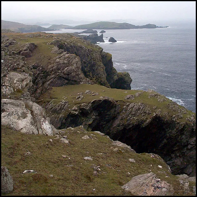
Neeans Neap David White · CC BY-SA 2.0 -
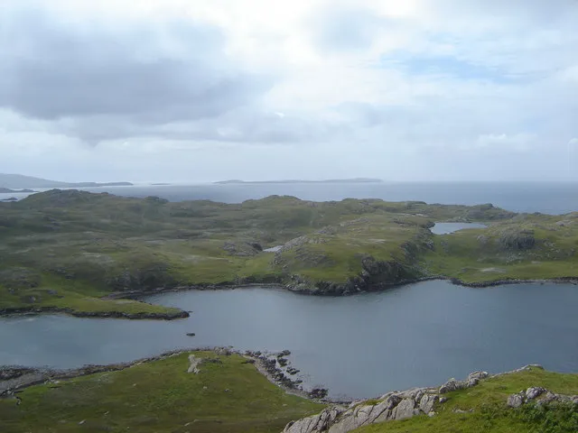
Heill Head Ruth Sharville · CC BY-SA 2.0


Climate of Sillock Holm
This month · November
A wet month
Day 8° · Night 5° · Rain 154 mm
- Hottest month
- August (day 14°)
- Coldest month
- February (night 2°)
- Wettest month
- November (154 mm)
- Driest month
- May (53 mm)
Bars: average monthly low and high temperature. Below: precipitation. Monthly averages for 1970–2000 at about 18 km resolution, adjusted for elevation. Highlighted months are mild and relatively dry. Source: WorldClim 2.1 (CC BY 4.0).
Show values as a table
| Month | Jan | Feb | Mar | Apr | May | Jun | Jul | Aug | Sep | Oct | Nov | Dec |
|---|---|---|---|---|---|---|---|---|---|---|---|---|
| Average high (°C) | 6° | 6° | 7° | 8° | 10° | 12° | 14° | 14° | 13° | 11° | 8° | 7° |
| Average low (°C) | 2° | 2° | 3° | 4° | 6° | 8° | 10° | 10° | 9° | 7° | 5° | 3° |
| Precipitation (mm) | 138 | 105 | 124 | 74 | 53 | 57 | 59 | 78 | 118 | 134 | 154 | 146 |
How to get to Sillock Holm
The nearest airport is Sumburgh Airport (LSI), 56 km to the south as the crow flies. The nearest large city is Aberdeen, 362 km to the south.
Airports
- Sumburgh Airport (LSI) Lerwick, Shetland 56 kmsouth
- Eday Airport (EOI) Eday 151 kmsouthwest
- Kirkwall Airport (KOI) Kirkwall, Orkney Islands 177 kmsouthwest
Nearby large cities
- Aberdeen Population: 198.6K 362 kmsouth
- Bergen Population: 294K 374 kmeast
Straight-line distances; road distances are longer. Airport data: OurAirports.
Day trips from Sillock Holm
Within 100 km: 13 historic and cultural sites, 604 natural sites, 269 lakes, rivers and coasts.
0–25 km438 places
- Shetland Islands Island 14 kmSE
- Muckle Roe Island Island 2 kmE
- Linga Island 6 kmE
- Hoy Island Island 23 kmS
25–60 km391 places
- Whalsay Island 27 kmE
- Unst Island 53 kmNE
- Trondra Island 31 kmS
- Fetlar Island Island 43 kmNE
60–100 km57 places
- Urashield Mountain 92 kmS
- Sheep Rock Mountain 95 kmS
- Skroo Mountain 92 kmS
- Wirrvie Burn River 93 kmS
Straight-line distances.
Nearest towns and villages
Nearby attractions & nature
Everything nearby-
Tame Holm Mountain, Shetland Islands0.2 km NE
-
West Hill of Ham Mountain, Shetland Islands0.9 km S
-
Swabi Stack Mountain, Shetland Islands0.9 km NE
-
Spindle Mountain, Shetland Islands1.1 km S
-
North Ham Natural site, Shetland Islands1.3 km NE
-
South Ham Natural site, Shetland Islands0.9 km N
-
Hamma Cletts Mountain, Shetland Islands1.6 km E
-
Brei Ness Natural site, Shetland Islands2 km NE
Sources & licences
Data last updated: