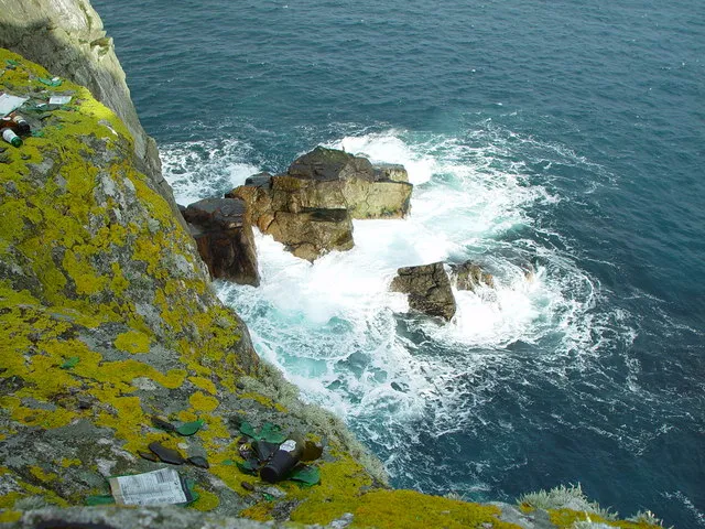
- Elevation
- 119 m
- above sea level
- Local time
- UTC+00:00
- Europe/London · UTC+00:00
- Population
- 1,061
- 1.1K
- Airports
- LSI Sumburgh Airport54 km
- EOI Eday Airport162 km
About Whalsay
Whalsay is an island. Location: Shetland Islands, Scotland. Population: 1,061.
Whalsay (Shaetlan pronunciation: ['hwaɫzə] WHALZ-ə; Old Norse: Hvalsey or Hvals-øy, meaning 'Whale Island') is the sixth largest in area ·of the Shetland Islands in the north of Scotland.
Source: Wikipedia · CC BY-SA 4.0
At a glance
- Length
- 8 km
- Area
- 19.7 km²
Source: Wikidata
Photos of Whalsay
-

Director General of the Ordnance Survey, Southampton, UK · Public domain -

Des Blenkinsopp · CC BY-SA 2.0 -

David Purchase · CC BY-SA 2.0 -

Rude Health · CC BY-SA 2.0 -
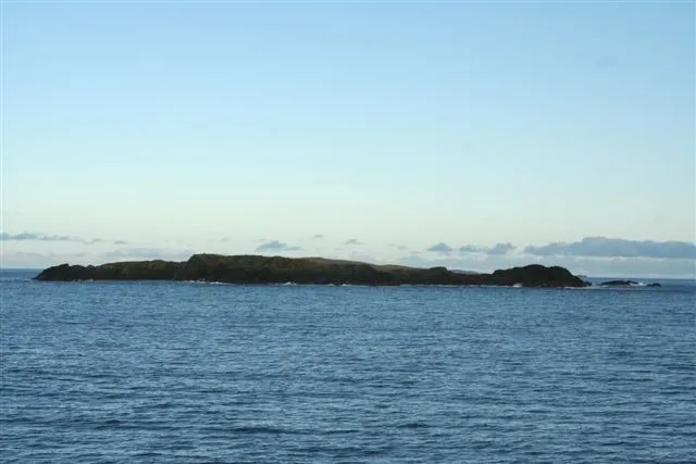
Rumble john bateson · CC BY-SA 2.0


Travel notes for Whalsay
From Wikivoyage
Whalsay is one of the Shetland Islands, 5 miles northeast of the Shetland Mainland, with a population of 1061 in 2011. It makes its living from fishing and crofting, and is seldom visited by tourists though it's easily reached.
One notable resident from 1933 to 1942 was the poet Hugh MacDiarmid, real name Christopher Grieve (1892-1978). Hard lines for the luckless intelligence agents assigned to watch him here: he'd twice been expelled by the Communist Party and had at some point advocated every extremist philosophy you could think of. But he's now recognised among the founding figures of Scottish nationalism: "The rose of all the world is not for me. I want for my part only the little white rose of Scotland that smells sharp and sweet - and breaks the heart."
Get in+
Whalsay is reached by a 30-minute ferry ride from 1 Laxo. They sail hourly M-Sa and every two hours Sunday, year round, to the harbour of Symbister. Until April 2025, the return fare is £2.80 per adult, child or conc £0.80, car and driver £16.50, pay on board outbound.
From Lerwick take A970 north then B9071 to Laxo. In high winds this pier is too exposed, and ferries sail instead from Vidlin three miles further up B9071; don't visit under such conditions. Bus 19 runs 2 or 3 times M-Sa from Lerwick to Laxo and Vidlin.
On M, F and Sa a ro-ro ferry plies between Whalsay and the Out Skerries, an 80 min crossing, and the first ferry of the morning from Laxo to Whalsay connects with it. A day-trip from Mainland or Whalsay to the Skerries is possible on those days but not vice versa.
2 Symbister is Whalsay's main settlement.
There's an emergency landing strip at the north end of the island but no air service.
Source: Wikivoyage · CC BY-SA 4.0 · abridged
Climate of Whalsay
This month · November
A wet month
Day 8° · Night 4° · Rain 145 mm
- Hottest month
- August (day 14°)
- Coldest month
- February (night 1°)
- Wettest month
- November (145 mm)
- Driest month
- May (50 mm)
Bars: average monthly low and high temperature. Below: precipitation. Monthly averages for 1970–2000 at about 18 km resolution, adjusted for elevation. Highlighted months are mild and relatively dry. Source: WorldClim 2.1 (CC BY 4.0).
Show values as a table
| Month | Jan | Feb | Mar | Apr | May | Jun | Jul | Aug | Sep | Oct | Nov | Dec |
|---|---|---|---|---|---|---|---|---|---|---|---|---|
| Average high (°C) | 6° | 5° | 6° | 7° | 10° | 12° | 13° | 14° | 12° | 10° | 8° | 6° |
| Average low (°C) | 2° | 1° | 2° | 3° | 5° | 7° | 9° | 9° | 8° | 6° | 4° | 2° |
| Precipitation (mm) | 131 | 99 | 118 | 70 | 50 | 56 | 57 | 76 | 113 | 128 | 145 | 139 |
How to get to Whalsay
The nearest airport is Sumburgh Airport (LSI), 54 km to the south as the crow flies. The nearest large city is Bergen, 348 km to the east.
Airports
- Sumburgh Airport (LSI) Lerwick, Shetland 54 kmsouth
- Eday Airport (EOI) Eday 162 kmsouthwest
- Kirkwall Airport (KOI) Kirkwall, Orkney Islands 188 kmsouthwest
Nearby large cities
- Bergen Population: 294K 348 kmeast
- Aberdeen Population: 198.6K 361 kmsouth
Straight-line distances; road distances are longer. Airport data: OurAirports.
Day trips from Whalsay
Within 100 km: 13 historic and cultural sites, 604 natural sites, 269 lakes, rivers and coasts.
0–25 km276 places
- Shetland Islands Island 14 kmW
- Brother Isle Island 25 kmNW
- Hoove Holm Island 23 kmSW
- Mainland Island 17 kmSW
25–60 km564 places
- Unst Island 47 kmN
- Trondra Island 29 kmSW
- Fetlar Island Island 32 kmN
- Green Holm Island 29 kmSW
60–100 km46 places
- Urashield Mountain 94 kmS
- Sheep Rock Mountain 97 kmS
- Skroo Mountain 94 kmS
- Wirrvie Burn River 94 kmS
Straight-line distances.
Nearest towns and villages
Nearby attractions & nature
Everything nearby-
Huxter Natural site, Shetland Islands0.9 km E
-
Ward of Clett Island, Shetland Islands1.2 km W
-
Sneugans Mountain, Shetland Islands2.2 km NW
-
Holm of Sandwick Island, Shetland Islands1.8 km W
-
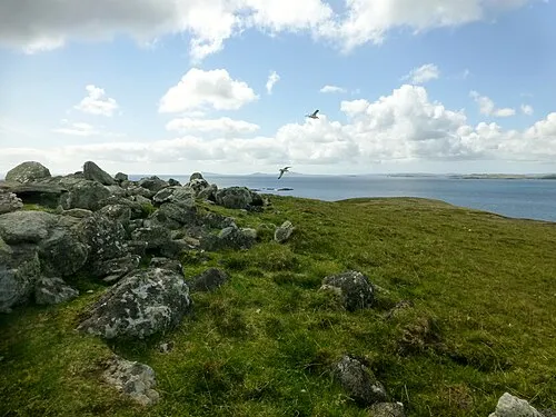 Symbister Ness Natural site, Shetland Islands2.8 km W
-
Symbister Natural site, Shetland Islands2.7 km NW
-
Rumble Island, Shetland Islands4.3 km E
-
Gamla Vord Mountain, Shetland Islands4.1 km NE
More lakes, rivers and coasts in United Kingdom
-
Little Linga Island, Shetland Islands5.2 km NW
-
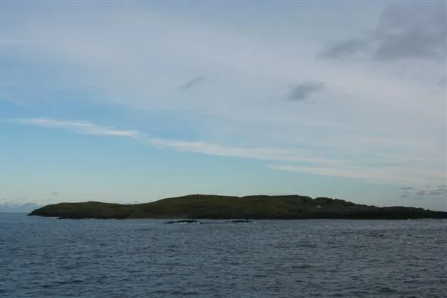 Grif Skerry Island, Shetland Islands7.4 km E
-
Hunder Holm Island, Shetland Islands5 km W
-
Bruse Holm Island, Shetland Islands4.9 km NW
-
Wether Holm Island, Shetland Islands4.1 km NW
-
West Linga Island, Shetland Islands4.6 km NW
Sources & licences
Data last updated: · 2 independent sources