- Elevation
- 300 m
- above sea level
- Local time
- UTC+00:00
- Europe/London · UTC+00:00
- Airports
- CAL Campbeltown Airport42 km
- PIK Glasgow Prestwick Airport44 km
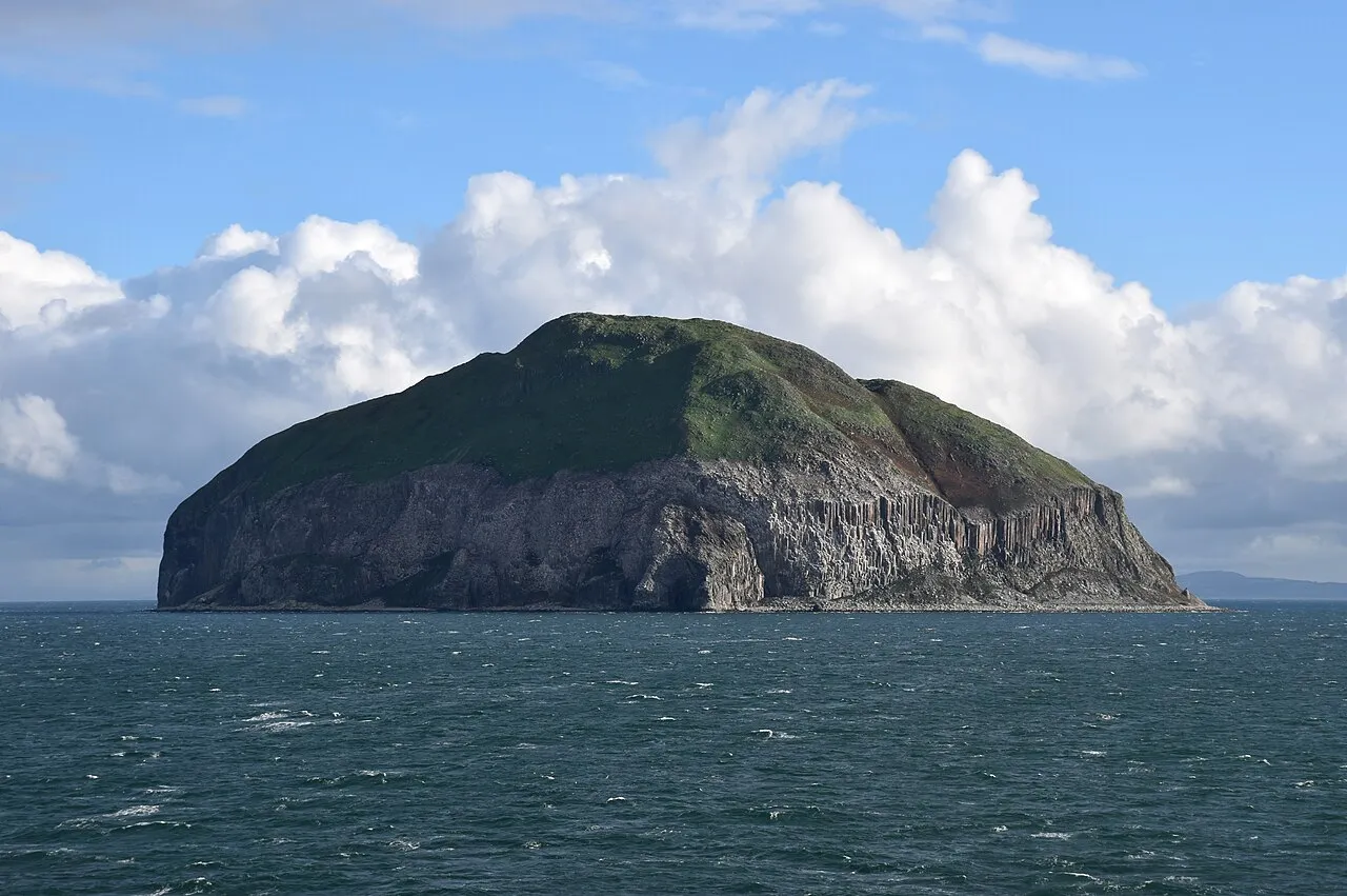
About Ailsa Craig
Ailsa Craig is an island. Location: South Ayrshire, Scotland.
Ailsa Craig (; Scottish Gaelic: Creag Ealasaid) is an island of 99 ha (1 km2; 245 acres) in the outer Firth of Clyde, 16 km (8+1⁄2 nmi) west of mainland Scotland. The island's microgranite has long been quarried to make curling stones. The now-uninhabited island comprises an eroded magmatic pluton formed during the same period of igneous activity as magmatic rocks on the nearby Isle of Arran.
Source: Wikipedia · CC BY-SA 4.0
At a glance
- Length
- 1.3 km
- Area
- 99 ha
Source: Wikidata
Photos of Ailsa Craig
-

James Johnstone from Ecclefechan, Scotland · CC BY 2.0 -

James Johnstone from Ecclefechan, Scotland · CC BY 2.0 -

Mat Tuck · CC BY-SA 2.0 -

Joseph Swan. 1829 · Public domain -

M J Richardson · CC BY-SA 2.0


Travel notes for Ailsa Craig
From Wikivoyage
Ailsa Craig (Gaelic: Creag Ealasaid) is an uninhabited island in the Firth of Clyde, 9 miles off the coast of Ayrshire. It measures about 3⁄4 of a mile north-south by ½ a mile east-west, and rises abruptly to 1120 ft (340 m). Its distinctive pyramid can be seen from afar in good weather. It's nowadays a birdlife reserve, though its granite is still quarried to make curling stones.
Understand+
Ailsa Craig is a pluton, a volcanic upwelling from about 60 million years ago, along with similar hills on the nearby island of Arran. Typically a pluton has no erupting volcano, but magma wells up and shoulders aside pre-existing rock. It then cools very slowly into coarse-grained granite that is hard-wearing, so it persists long after surrounding features have eroded away. Plutons have formed throughout Earth's existence and this one arose in the Palaeogene, formerly called the Early Tertiary. In that period the continents came close to their present positions, the global climate cooled, and dinosaurs suffered mass extinction to be replaced by mammals. Then followed the ice ages, which scraped and polished the surface of Ailsa Craig, and transported boulders from it as far away as Pembroke and Donegal. Any Stone Age person stranded amid the frozen wastes would be sure to think: "Hey, what a colossal ice rink and helluva curling stone".
The island has fresh water but almost no topsoil, and it's a long way to bring sheep for grazing, so only intermittently was it inhabited. Around 1400 it was owned by the Cluniac monks of Crossraguel, and has been a bolthole for fugitives and landing-beach for fishermen and pirates. It's always been a nesting place for seabirds and stop-off for migratory flocks: the solan geese were hunted into modern times. Yet this remote spot once had a gasworks and two railways.
Get in+
There are no scheduled ferries, and most visitors get here on a boat trip. Most trips are non-landing, circumnavigating to view the wildlife. Ailsa Craig is also within sea-kayaking range, but you're nine miles out, think about the changing conditions and the getting back.
Girvan is the usual point of departure for trips, see that page for details. McCrindle the main boat operator advertises year-round sailings. In reality, the weather and lack of customers make trips unlikely in winter.
Cruises of the west coast and Hebrides sometimes approach Ailsa Craig. One example is the Waverley, the world's last sea-going paddle steamer, which ranges around the Firth of Clyde in summer. This elderly vessel has had long spells hospitalised for repair, and it's a wonder she keeps going.
The landing jetty on Ailsa Craig is on the sheltered east side, just north of the lighthouse.
Source: Wikivoyage · CC BY-SA 4.0 · abridged
Climate of Ailsa Craig
This month · November
A wet month
Day 9° · Night 3° · Rain 128 mm
- Hottest month
- August (day 16°)
- Coldest month
- February (night 1°)
- Wettest month
- December (130 mm)
- Driest month
- May (60 mm)
Bars: average monthly low and high temperature. Below: precipitation. Monthly averages for 1970–2000 at about 18 km resolution, adjusted for elevation. Highlighted months are mild and relatively dry. Source: WorldClim 2.1 (CC BY 4.0).
Show values as a table
| Month | Jan | Feb | Mar | Apr | May | Jun | Jul | Aug | Sep | Oct | Nov | Dec |
|---|---|---|---|---|---|---|---|---|---|---|---|---|
| Average high (°C) | 7° | 6° | 7° | 9° | 12° | 14° | 15° | 16° | 14° | 11° | 9° | 8° |
| Average low (°C) | 1° | 1° | 2° | 3° | 5° | 8° | 9° | 10° | 9° | 6° | 3° | 2° |
| Precipitation (mm) | 127 | 92 | 97 | 66 | 60 | 75 | 82 | 100 | 103 | 124 | 128 | 130 |
How to get to Ailsa Craig
The nearest airport is Campbeltown Airport (CAL), 42 km to the northwest as the crow flies. For international flights: Glasgow Prestwick Airport (PIK) (44 km). The nearest large city is Glasgow, 87 km to the northeast.
Airports
- Campbeltown Airport (CAL) Campbeltown 42 kmnorthwest
- Glasgow Prestwick Airport (PIK) Prestwick, South Ayrshire 44 kmnortheast
- Glasgow Airport (GLA) Glasgow 81 kmnortheast
Nearby large cities
- Glasgow Population: 626.4K 87 kmnortheast
- Belfast Population: 348K 90 kmsouthwest
- Edinburgh Population: 515K 144 kmnortheast
- Dundee Population: 148.2K 191 kmnortheast
- Blackpool Population: 145K 208 kmsoutheast
Straight-line distances; road distances are longer. Airport data: OurAirports.
Day trips from Ailsa Craig
Within 100 km: 125 historic and cultural sites, 2,014 natural sites, 762 lakes, rivers and coasts.
0–25 km69 places
- Pladda Island 19 kmN
- Balnowlart Holm Island 19 kmSE
- Knockdolian Mountain 18 kmSE
- Downan Hill Mountain 20 kmS
25–60 km762 places
- Isle of Arran Island 40 kmN
- Great Cumbrae Island Island 59 kmN
- Ayr Beach Beach 38 kmNE
- Troon Beach Beach 43 kmNE
60–100 km2,070 places
- Cala Island 90 kmN
- Texa Island Island 77 kmNW
- The Skerries Island 96 kmW
- Sheep Island Island 79 kmW
Straight-line distances.
Nearest towns and villages
-
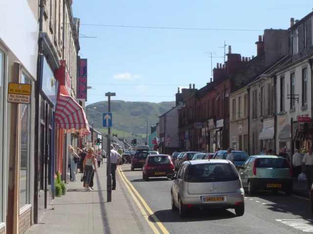 Girvan Town, South Ayrshire17 km E
-
Maidens Village, South Ayrshire21 km NE
-
Lendalfoot Village, South Ayrshire15 km SE
-
Dipple Village, South Ayrshire18 km E
-
Ballantrae Village, South Ayrshire19 km SE
-
Colmonell Village, South Ayrshire19 km SE
Nearby attractions & nature
Everything nearby-
Ailsa Craig Lighthouse Landmark, South Ayrshire0.5 km E
-
Balsalloch Hill Mountain, South Ayrshire15 km SE
-
Pinbain Hill Mountain, South Ayrshire15 km SE
-
Grey Hill Mountain, South Ayrshire16 km SE
-
Knockormal Hill Mountain, South Ayrshire16 km SE
-
Ballaird Hill Mountain, South Ayrshire16 km SE
-
Mains Hill Mountain, South Ayrshire16 km E
-
Byne Hill Mountain, South Ayrshire17 km E
More lakes, rivers and coasts in United Kingdom
-
Balnowlart Holm Island, South Ayrshire19 km SE
-
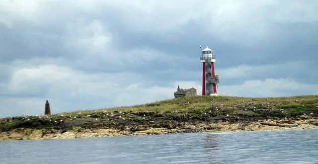 Lady Isle Island, South Ayrshire39 km NE
-
Broad Craig Island, South Ayrshire28 km NE
-
Fauld Carnahan Isle Island, South Ayrshire35 km SE
-
Ayr Beach Beach, South Ayrshire38 km NE
-
Loch Spallander Lake, South Ayrshire39 km E
Sources & licences
Data last updated: · 2 independent sources