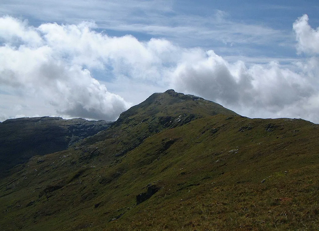
- Elevation
- 996 m
- above sea level
- Local time
- UTC+00:00
- Europe/London · UTC+00:00
- Airports
- GLA Glasgow Airport53 km
- EDI Edinburgh Airport89 km
About An Caisteal
An Caisteal is a mountain. Location: Stirling, Scotland. Elevation: 996 m.
An Caisteal (Scottish Gaelic for 'the castle') is a mountain in the Breadalbane region of the Scottish Highlands, south of the village of Crianlarich. It is a Munro with a height of 995 metres (3,264 ft).
Source: Wikipedia · CC BY-SA 4.0
At a glance
- Topographic prominence
- 472 m
Source: Wikidata
Photos of An Caisteal
-

portengaround · CC BY-SA 2.0 -

Mick Knapton at English Wikipedia · CC BY-SA 3.0 -

Alan Reid · CC BY-SA 2.0 -

Russel Wills · CC BY-SA 2.0 -
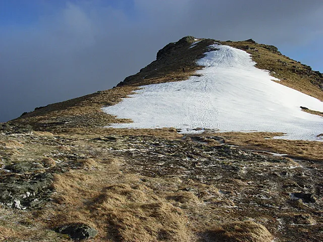
Beinn Tulaichean Andrew Smith · CC BY-SA 2.0


Climate of An Caisteal
This month · November
A wet month
Day 2° · Night -2° · Rain 260 mm
- Hottest month
- July (day 12°)
- Coldest month
- February (night -4°)
- Wettest month
- January (301 mm)
- Driest month
- June (117 mm)
Bars: average monthly low and high temperature. Below: precipitation. Monthly averages for 1970–2000 at about 18 km resolution, adjusted for elevation. Highlighted months are mild and relatively dry. Source: WorldClim 2.1 (CC BY 4.0).
Show values as a table
| Month | Jan | Feb | Mar | Apr | May | Jun | Jul | Aug | Sep | Oct | Nov | Dec |
|---|---|---|---|---|---|---|---|---|---|---|---|---|
| Average high (°C) | 0° | 0° | 1° | 5° | 8° | 10° | 12° | 11° | 9° | 5° | 2° | 0° |
| Average low (°C) | -4° | -4° | -4° | -2° | 1° | 3° | 5° | 5° | 4° | 1° | -2° | -4° |
| Precipitation (mm) | 301 | 196 | 215 | 124 | 128 | 117 | 131 | 158 | 220 | 261 | 260 | 266 |
How to get to An Caisteal
The nearest airport is Glasgow Airport (GLA), 53 km to the south as the crow flies. The nearest large city is Glasgow, 57 km to the southeast.
Airports
- Glasgow Airport (GLA) Glasgow 53 kmsouth
- Edinburgh Airport (EDI) Ingliston, Edinburgh 89 kmsoutheast
- Glasgow Prestwick Airport (PIK) Prestwick, South Ayrshire 93 kmsouth
Nearby large cities
- Glasgow Population: 626.4K 57 kmsoutheast
- Edinburgh Population: 515K 99 kmsoutheast
- Dundee Population: 148.2K 103 kmeast
- Aberdeen Population: 198.6K 179 kmnortheast
- Belfast Population: 348K 211 kmsouthwest
Straight-line distances; road distances are longer. Airport data: OurAirports.
Day trips from An Caisteal
Within 100 km: 153 historic and cultural sites, 4,218 natural sites, 1,262 lakes, rivers and coasts.
0–25 km443 places
- Ellens Isle Island 17 kmSE
- Island I Vow Island 8 kmSW
- Inveruglas Isle Island 11 kmSW
- Tarbet Isle Island 15 kmS
25–60 km1,905 places
- Eriska Island 53 kmNW
- Shuna Island Island 55 kmNW
- Lismore Island Island 59 kmW
- Kerrera Island 58 kmW
60–100 km3,285 places
- Isle of Arran Island 91 kmSW
- Great Cumbrae Island Island 66 kmS
- Ayr Beach Beach 98 kmS
- Troon Beach Beach 89 kmS
Straight-line distances.
Nearest towns and villages
-
Inverarnan Village, Stirling6.1 km W
-
Inverardran Village, Stirling5.7 km N
-
Crianlarich Village, Stirling6.1 km N
-
Glengyle Village, Stirling6.3 km S
-
Ardlui Village, Argyll and Bute7.2 km SW
-
Stronachlachar Village, Stirling9.5 km S
Nearby attractions & nature
Everything nearby-
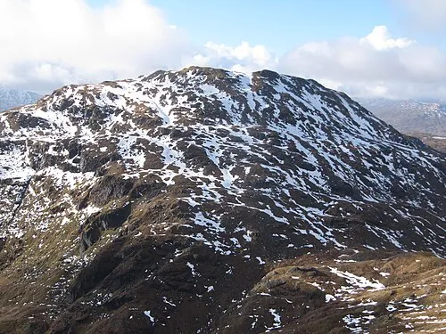 Beinn Chabhair Mountain, Stirling1.8 km SW
-
Beinn a' Chroin West Top Mountain, Stirling1.1 km SE
-
Beinn a' Chroin Mountain, Stirling1.2 km SE
-
Twistin Hill Mountain, Stirling1.6 km N
-
Beinn a' Chroin East Top Mountain, Stirling1.7 km SE
-
Sron Gharbh Mountain, Stirling2.1 km N
-
Meall nan Tarmachan Mountain, Stirling2.2 km SW
-
Beinn Tulaichean Mountain, Stirling3.8 km E
Sources & licences
Data last updated: · 2 independent sources