Ben Lomond
Located in Stirling, Scotland Coordinates: 56°11′24″ N 4°37′56″ W
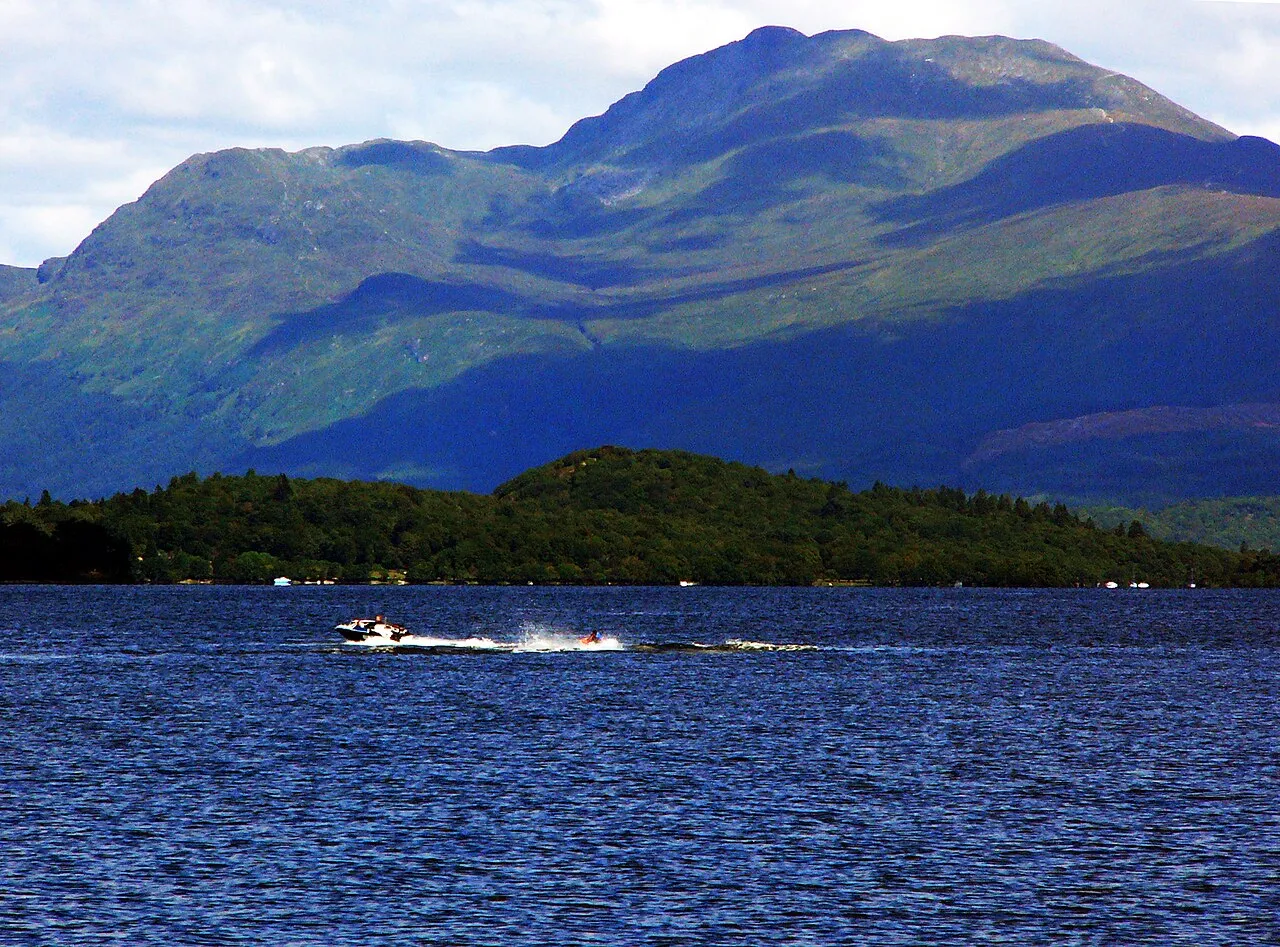
- Elevation
- 974 m
- above sea level
- Local time
- UTC+00:00
- Europe/London · UTC+00:00
About Ben Lomond
Ben Lomond is a mountain. Location: Stirling, Scotland. Elevation: 974 m.
Ben Lomond (Scottish Gaelic: Beinn Laomainn, lit. 'Beacon Mountain'), 974 metres (3,196 ft), is a mountain in the Scottish Highlands. Situated on the eastern shore of Loch Lomond, it is the most southerly of the Munros. Ben Lomond lies within the Ben Lomond National Memorial Park and the Loch Lomond and The Trossachs National Park, property of the National Trust for Scotland.
Read more on Wikipedia Text: Wikipedia contributors · CC BY-SA 4.0 · shortened
At a glance
- Topographic prominence
- 820 m
Source: Wikidata
In comparison
- No. 358 of 18223 mountains in United Kingdom by elevation
- 66 sights and natural places within 10 km Ptarmigan, Breac Leac
Nearest towns and villages
-
Rowardennan Village, Stirling4.7 km S
-
Inverbeg Village, Argyll and Bute5.3 km SW
-
Tarbet Village, Argyll and Bute5.4 km W
-
Inversnaid Village, Stirling6.8 km NW
-
Luss Village, Argyll and Bute9.9 km S
-
Kinlochard Village, Stirling8.7 km E
Nearby attractions & nature
Everything nearby-
Ptarmigan Mountain, Stirling0.7 km W
-
Breac Leac Mountain, Stirling1.2 km SE
-
Stob Bealach Gaoithe Mountain, Stirling1.5 km W
-
Cruinn a' Bheinn Mountain, Stirling2.3 km N
-
Creag a' Bhocain Mountain, Stirling2.4 km NW
-
Beinn Bhan Mountain, Stirling3 km E
-
Rubha Mor Mountain, Argyll and Bute4 km SW
-
Beinn Dubh Mountain, Stirling4 km NE
Sources & licences
Data last updated: · 2 independent sources