Inchfad
Located in Stirling, Scotland Coordinates: 56°05′03″ N 4°34′23″ W
- Elevation
- 16 m
- above sea level
- Local time
- UTC+00:00
- Europe/London · UTC+00:00
About Inchfad
Inchfad is an island. Location: Stirling, Scotland.
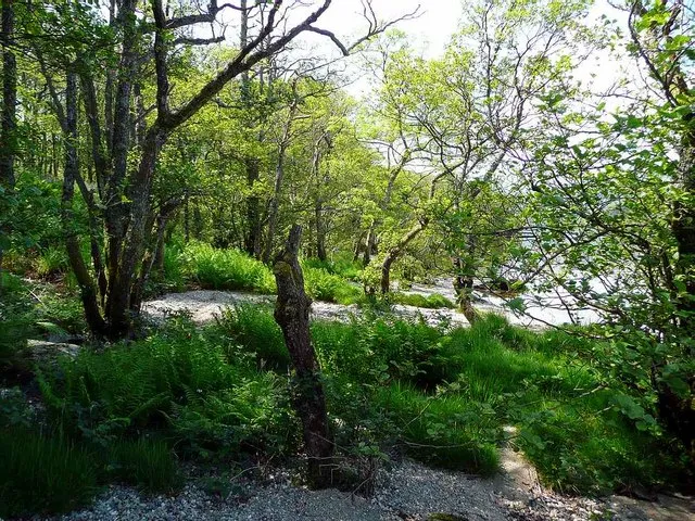
Inchfad (Scottish Gaelic: Innis Fada, "long island") is an island in the south east of Loch Lomond in Scotland. Inchfad is 1.35 km (0.84 mi) long and 35 hectares in area. Its highest point is 25 metres. The island forms part of the parish of Buchanan in west central Scotland, formerly part of Stirlingshire and now under Stirling Council. Inchfad is partially wooded and has a single permanent resident as of 2022.
Read more on Wikipedia Text: Wikipedia contributors · CC BY-SA 4.0 · shortened
At a glance
- Area
- 35 ha
Source: Wikidata
In comparison
- 59 sights and natural places within 10 km Ellanderroch, Inchcailloch
Nearest towns and villages
Nearby attractions & nature
Everything nearby-
Ellanderroch Island, Stirling0.7 km SW
-
Tom na Nigheanan North Top Mountain, Stirling1.4 km E
-
 Inchmoan Island, Argyll and Bute2.2 km W
-
Inchcailloch Island, Stirling1.2 km SE
-
Ceardach Island, Stirling1.2 km NW
-
Tom na Nigheanan Island, Stirling1.3 km SE
-
Inchcruin Island, Stirling1.4 km W
-
Bucinch Island, Stirling1.5 km NW
Sources & licences
Data last updated: · 2 independent sources