Cauldcleuch Head
Located in The Scottish Borders, Scotland Coordinates: 55°17′50″ N 2°51′27″ W
- Elevation
- 619 m
- above sea level
- Local time
- UTC+00:00
- Europe/London · UTC+00:00
About Cauldcleuch Head
Cauldcleuch Head is a mountain. Location: The Scottish Borders, Scotland. Elevation: 619 m.
Cauldcleuch Head is a hill in an unnamed range of Roxburghshire hills north of Langholm, part of the Southern Uplands of Scotland. The highest hill in this range, it has an isolation of approximately 26 km. Parts of the Gorrenberry Jubilee Wood can be found in the Billhope glen to its southwest, where the easiest line of ascent is found.
Read more on Wikipedia Text: Wikipedia contributors · CC BY-SA 4.0 · shortened
At a glance
- Topographic prominence
- 256 m
Source: Wikidata
In comparison
- No. 2971 of 18223 mountains in United Kingdom by elevation
- 78 sights and natural places within 10 km Skelfhill Fell, Dod Rig
Nearest towns and villages
-
Priesthaugh Village, The Scottish Borders4.3 km N
-
Teviothead Village, The Scottish Borders6.9 km NW
-
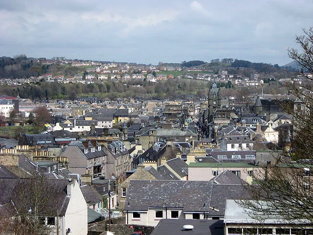 Hawick Town, The Scottish Borders15 km N
-
Newcastleton Village, The Scottish Borders13 km S
-
Newmill Village, The Scottish Borders9.8 km N
-
Steele Road Village, The Scottish Borders10 km SE
Nearby attractions & nature
Everything nearby-
Skelfhill Fell Mountain, The Scottish Borders1.2 km N
-
Dod Rig Mountain, The Scottish Borders2 km NE
-
Millstone Edge Mountain, The Scottish Borders2.1 km W
-
Skelfhill Pen Mountain, The Scottish Borders2.8 km NW
-
Wether Law Mountain, The Scottish Borders2.9 km W
-
Tudhope Hill Mountain, The Scottish Borders3 km SW
-
Greatmoor Hill Mountain, The Scottish Borders3.3 km E
-
Carlin Tooth Mountain, Dumfries and Galloway4.2 km SW
Sources & licences
Data last updated: · 2 independent sources