Dodhead Mid Hill
Located in The Scottish Borders, Scotland Coordinates: 55°28′04″ N 2°59′27″ W
- Elevation
- 344 m
- above sea level
- Local time
- UTC+00:00
- Europe/London · UTC+00:00
About Dodhead Mid Hill
Dodhead Mid Hill is a mountain. Location: The Scottish Borders, Scotland. Elevation: 344 m.
In comparison
- No. 8615 of 18223 mountains in United Kingdom by elevation
- 64 sights and natural places within 10 km Dodhead Under Hill, Shaws Lochs
Airports nearest to Dodhead Mid Hill
- Edinburgh Airport (EDI) Ingliston, Edinburgh 59 km
- Newcastle International Airport (NCL) Newcastle upon Tyne, Tyne and Wear 96 km
- Glasgow Prestwick Airport (PIK) Prestwick, South Ayrshire 100 km
Straight-line distance; airports with scheduled flights only. Source: OurAirports (public domain).
Nearest towns and villages
-
Selkirkshire Municipality, The Scottish Borders3.6 km N
-
Ettrickbridge End Village, The Scottish Borders3.9 km NE
-
Kirkhope Village, The Scottish Borders4.1 km N
-
Yarrow Village, The Scottish Borders6.6 km NW
-
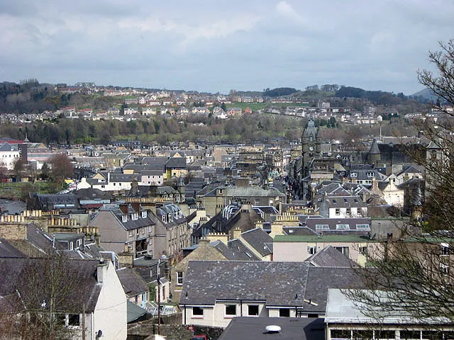 Hawick Town, The Scottish Borders14 km E
-
Selkirk Town, The Scottish Borders13 km NE
Nearby attractions & nature
Everything nearby-
Dodhead Under Hill Mountain, The Scottish Borders1 km N
-
Shaw's Hill Mountain, The Scottish Borders1.9 km N
-
Shaws Lochs Lake, Scotland1.5 km E
-
Hart Horns Mountain, The Scottish Borders2.5 km NE
-
Mossbrae Height Mountain, The Scottish Borders2.6 km W
-
Singlie Hill Mountain, The Scottish Borders2.8 km NW
-
Caver's Hill Mountain, The Scottish Borders3.2 km NE
-
Shaws Upper Loch Lake, Scotland2.5 km SE
Sources & licences
Data last updated: