Dun Rig
Located in The Scottish Borders, Scotland Coordinates: 55°34′19″ N 3°11′09″ W
- Elevation
- 744 m
- above sea level
- Local time
- UTC+00:00
- Europe/London · UTC+00:00
About Dun Rig
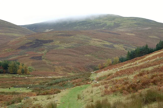
Dun Rig is a mountain. Location: The Scottish Borders, Scotland. Elevation: 744 m.
Dun Rig is a hill in the Manor Hills range, part of the Southern Uplands of Scotland. It is the highest hill in the northernmost cluster of the Manor Hills, south of the town of Peebles in the Scottish Borders. A sprawling summit, it is usually climbed as part of the Dun Rig Horseshoe from the Peebles side and provides great views into the Moorfoot Hills, Pentlands, rest of the Manor Hills and the central Borders. It is the historic county top of the former county of Selkirkshire.
Read more on Wikipedia Text: Wikipedia contributors · CC BY-SA 4.0 · shortened
In comparison
- No. 1667 of 18223 mountains in United Kingdom by elevation
- 72 sights and natural places within 10 km Stake Law, Glenrath Heights
Nearest towns and villages
-
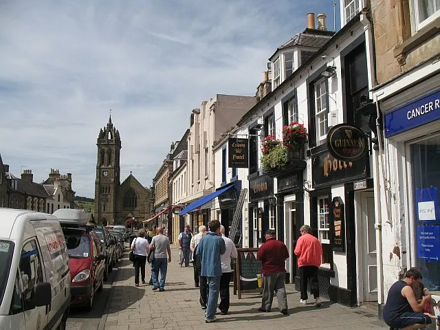 Peebles Town, The Scottish Borders8.9 km N
-
Innerleithen Village, The Scottish Borders9.4 km NE
-
Cardrona Mains Village, The Scottish Borders8.9 km NE
-
Kirkton Manor Village, The Scottish Borders5.8 km NW
-
Craigerne Cottage Village, The Scottish Borders7.9 km N
-
Kings Meadows Neighbourhood, The Scottish Borders7.9 km N
Nearby attractions & nature
Everything nearby-
Stake Law Mountain, The Scottish Borders1.2 km NE
-
Glenrath Heights Mountain, The Scottish Borders1.3 km NW
-
Hundleshope Heights Mountain, The Scottish Borders2.4 km N
-
Whiteknowe Head Mountain, The Scottish Borders2.4 km SE
-
Birkscairn Hill Mountain, The Scottish Borders2.7 km NE
-
Stob Law Mountain, The Scottish Borders2.9 km NW
-
White Cleuch Hill Mountain, The Scottish Borders3 km SW
-
Birks Hill Mountain, The Scottish Borders3.5 km NE
Sources & licences
Data last updated: · 2 independent sources