Bathgate
Local name: Both Cheit
Located in West Lothian, Scotland Coordinates: 55°54′07″ N 3°38′38″ W
- Population
- 23,600
- 23.6K
- Elevation
- 141 m
- above sea level
- Local time
- UTC+00:00
- Europe/London · UTC+00:00
About Bathgate
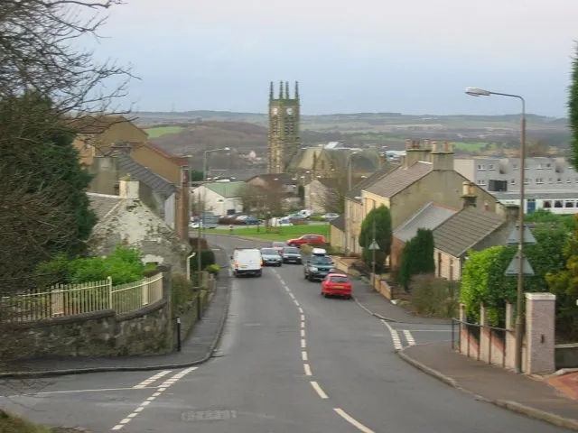
Bathgate is a town. Location: West Lothian, Scotland. Population: 23,600. Elevation: 141 m.
Bathgate (Scots: Bathket or Bathkit, Scottish Gaelic: Both Chèit) is a town in West Lothian, Scotland, 5 miles (8 km) west of Livingston and adjacent to the M8 motorway. Nearby towns are Linlithgow, Livingston, and West Calder. A number of villages fall under the umbrella of Bathgate, including Blackburn, Whitburn, Stoneyburn, Armadale, Torphichen and Fauldhouse.
Read more on Wikipedia Text: Wikipedia contributors · CC BY-SA 4.0 · shortened
In comparison
- No. 2 of 23 places in West Lothian by population
- Nearest larger town: Livingston, 8 km E
- 23 sights and natural places within 10 km Raven Craig, Cairnpapple Hill
Nearby attractions & nature
Everything nearby-
Raven Craig Mountain, West Lothian2.4 km NE
-
Cairnpapple Hill Mountain, West Lothian2.7 km NE
-
Seafield Law Mountain, West Lothian3.8 km SE
-
Gormyre Hill Mountain, West Lothian3.8 km N
-
Witch Craig Mountain, West Lothian4.2 km NE
-
Breich Water River, Scotland5.3 km SE
-
Candiehead Mountain, Falkirk6.5 km NW
-
Cow Hill Mountain, West Lothian5.2 km N
Other cities and towns in West Lothian
-
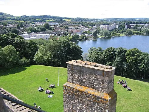 Linlithgow Town, West Lothian8.7 km N
-
Livingston City, West Lothian7.6 km E
-
Broxburn Town, West Lothian11 km E
Sources & licences
Data last updated: · 2 independent sources