Beinn Sciathan
Located in Western Isles, Scotland Coordinates: 57°04′47″ N 7°17′29″ W
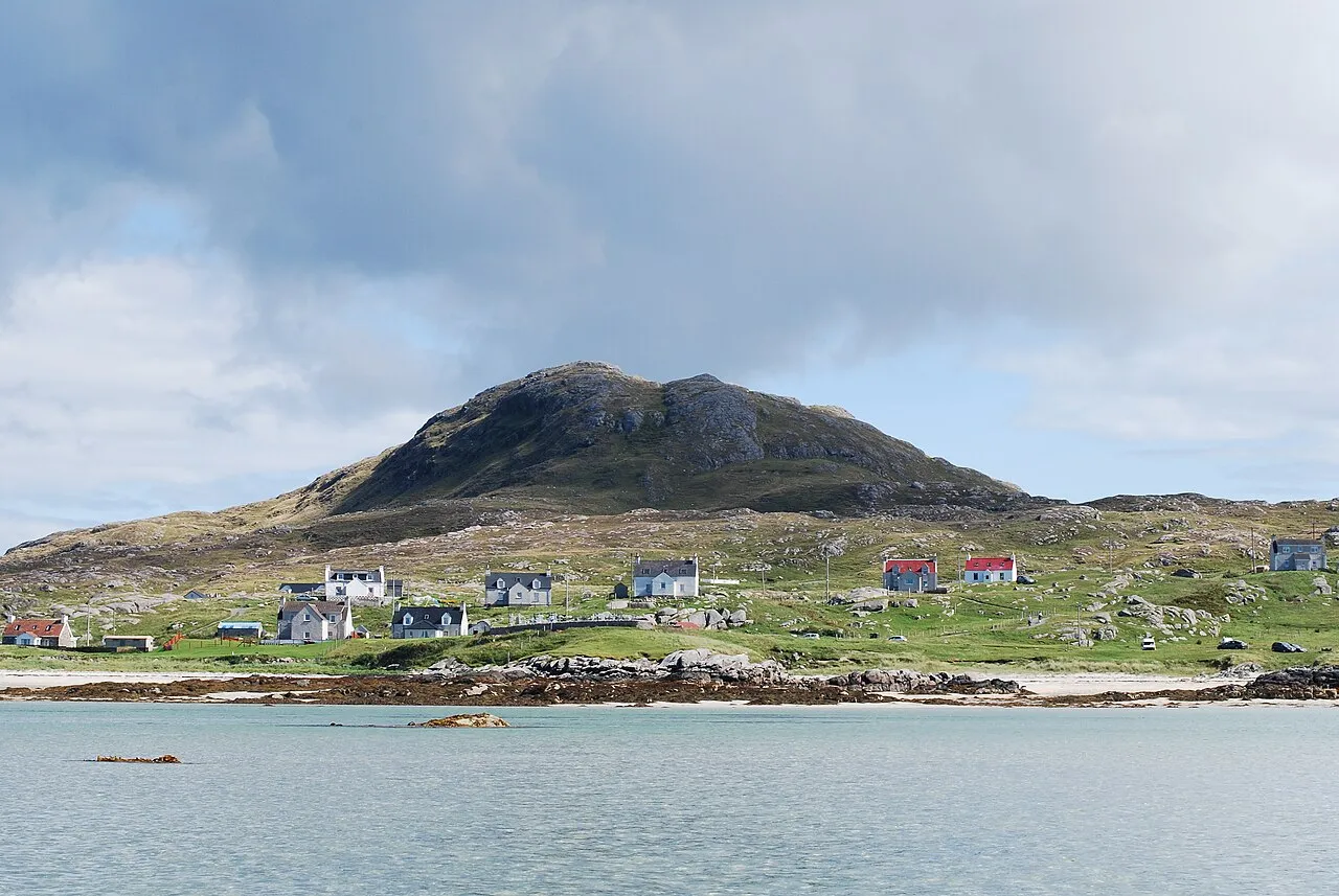
- Elevation
- 66 m
- above sea level
- Local time
- UTC+00:00
- Europe/London · UTC+00:00
About Beinn Sciathan
Beinn Sciathan is a mountain. Location: Western Isles, Scotland. Elevation: 66 m.
Ben Scrien, is the highest point on the Outer Hebridean island of Eriskay. Described as an apparently "uninspiring lump" (Michael Fitzpatrick, 2012) it nevertheless commands fine views of Barra, South Uist, Skye, Tiree and Coll. Between the months of may and November Beinn scrien is home to the islands sheep and the Eriskay ponies. The ascent time is between 0.5 and 1.5 hours.
Read more on Wikipedia Text: Wikipedia contributors · CC BY-SA 4.0 · shortened
At a glance
- Topographic prominence
- 185 m
Source: Wikidata
In comparison
- No. 17479 of 18223 mountains in United Kingdom by elevation
- 63 sights and natural places within 10 km Beinn Scritheann [Ben Scrien], Cnoc Pairceanan
Nearest towns and villages
-
Coilleag Village, Western Isles0.9 km SW
-
Haun Village, Western Isles0.9 km NW
-
Pàirceanan Village, Western Isles1 km SW
-
Bun a' Mhuillinn Village, Western Isles1 km N
-
Rubha Ban Village, Western Isles1.1 km NW
-
Acairseid Village, Western Isles1.1 km S
Nearby attractions & nature
Everything nearby-
Beinn Scritheann [Ben Scrien] Island, Western Isles<0.1 km N
-
Cnoc Pairceanan Mountain, Western Isles0.8 km S
-
Beinn Cracabhaig Mountain, Western Isles1.4 km SW
-
Eriskay Island, Western Isles1.6 km S
-
Sheisinis Island Island, Western Isles1.6 km SE
-
Beinn Stac Mountain, Western Isles2.2 km S
-
Stack Islands Island, Western Isles2.6 km W
-
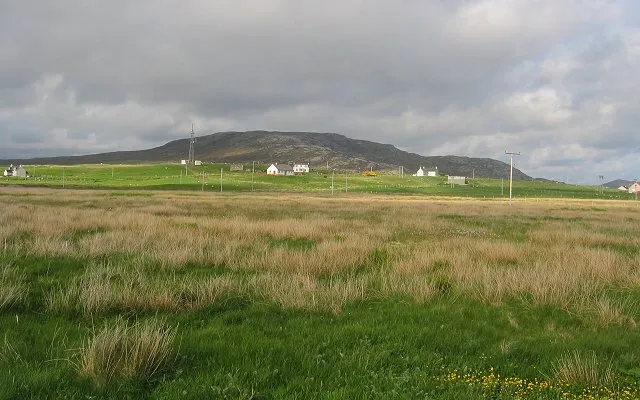 Easaval Mountain, Western Isles5.1 km NW
More nature in United Kingdom
-
Roineabhal Mountain, Western Isles3.6 km NE
-
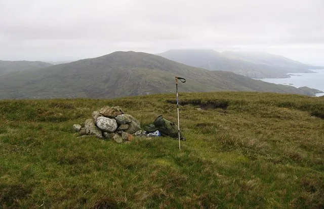 Triuirebheinn Mountain, Western Isles10 km N
-
Cruachan Mountain, Western Isles3.9 km N
-
Rubha Mealabhaig Mountain, Western Isles4.1 km NE
-
Marabhal Mountain, Western Isles4.6 km N
-
Hairtebreac Mountain, Western Isles4.6 km NE
Sources & licences
Data last updated: · 2 independent sources