Corlabhadh
Located in Western Isles, Scotland Coordinates: 57°59′09″ N 6°32′54″ W
- Elevation
- 298 m
- above sea level
- Local time
- UTC+00:00
- Europe/London · UTC+00:00
About Corlabhadh
Corlabhadh is a mountain. Location: Western Isles, Scotland. Elevation: 298 m.
In comparison
- No. 9808 of 18223 mountains in United Kingdom by elevation
- 80 sights and natural places within 10 km Cleit a' Ghuib Choille, Ruadh Chleit
Airports nearest to Corlabhadh
- Stornoway Airport (SYY) Stornoway, Western Isles 29 km
- Benbecula Airport (BEB) Balivanich 74 km
- Barra Airport (BRR) Eoligarry 120 km
Straight-line distance; airports with scheduled flights only. Source: OurAirports (public domain).
Nearest towns and villages
-
Eishken Village, Western Isles3.5 km N
-
Lemreway Village, Western Isles7.3 km NE
-
Ceann Shìphoirt Village, Western Isles8.3 km NW
-
Glenside Village, Western Isles9 km NE
-
Gravir Village, Western Isles11 km NE
-
Isle of Scalpay Village, Western Isles16 km SW
Nearby attractions & nature
Everything nearby-
Cleit a' Ghuib Choille Mountain, Western Isles1.2 km N
-
Ruadh Chleit Mountain, Western Isles1.3 km W
-
Cnoc Loch nam Faoileag Mountain, Western Isles1.3 km S
-
Gormol Mountain, Western Isles2.1 km SW
-
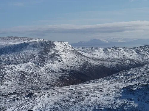 Crionaig Mountain, Western Isles3.2 km SW
-
Colla Cleit Mountain, Western Isles2.5 km S
-
Beannan Mor Mountain, Western Isles2.7 km NW
-
Cleite Catriona Mountain, Western Isles3.2 km N
Sources & licences
Data last updated: