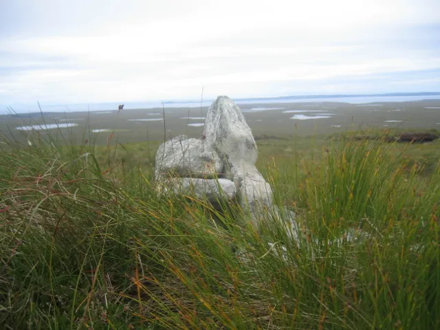
- Elevation
- 248 m
- above sea level
- Local time
- UTC+00:00
- Europe/London · UTC+00:00
- Airports
- SYY Stornoway Airport16 km
- BEB Benbecula Airport116 km
About Muirneag
Muirneag is a mountain. Location: Western Isles, Scotland. Elevation: 248 m. The nearest airport is Stornoway Airport (16 km). Nearby sights include Beinn Mheadhanach and Eilean Earasgro.
Climate of Muirneag
This month · November
A wet month
Day 7° · Night 3° · Rain 157 mm
- Hottest month
- July (day 14°)
- Coldest month
- February (night 1°)
- Wettest month
- November (157 mm)
- Driest month
- May (61 mm)
Bars: average monthly low and high temperature. Below: precipitation. Monthly averages for 1970–2000 at about 18 km resolution, adjusted for elevation. Highlighted months are mild and relatively dry. Source: WorldClim 2.1 (CC BY 4.0).
Show values as a table
| Month | Jan | Feb | Mar | Apr | May | Jun | Jul | Aug | Sep | Oct | Nov | Dec |
|---|---|---|---|---|---|---|---|---|---|---|---|---|
| Average high (°C) | 5° | 5° | 6° | 8° | 10° | 12° | 14° | 14° | 12° | 10° | 7° | 6° |
| Average low (°C) | 1° | 1° | 2° | 3° | 5° | 7° | 9° | 9° | 8° | 5° | 3° | 1° |
| Precipitation (mm) | 150 | 112 | 122 | 76 | 61 | 69 | 79 | 88 | 124 | 150 | 157 | 145 |
How to get to Muirneag
The nearest airport is Stornoway Airport (SYY), 16 km to the south as the crow flies. The nearest large city is Aberdeen, 285 km to the southeast.
Airports
- Stornoway Airport (SYY) Stornoway, Western Isles 16 kmsouth
- Benbecula Airport (BEB) Balivanich 116 kmsouthwest
- Inverness Airport (INV) Inverness, Highland 162 kmsoutheast
Nearby large cities
- Aberdeen Population: 198.6K 285 kmsoutheast
- Dundee Population: 148.2K 290 kmsoutheast
- Glasgow Population: 626.4K 304 kmsoutheast
- Edinburgh Population: 515K 327 kmsoutheast
Straight-line distances; road distances are longer. Airport data: OurAirports.
Day trips from Muirneag
Within 100 km: 17 historic and cultural sites, 1,670 natural sites, 818 lakes, rivers and coasts.
0–25 km82 places
- Lewis with Harris Island 24 kmSW
- Isle of Lewis Island 16 kmW
- Eilean a Muigh Heisgeir Island 8 kmE
- Eilean Sguinean nan Creagan Briste Island 8 kmNE
25–60 km621 places
- Isle of Harris Natural site 59 kmSW
- Dalmore Beach Beach 27 kmW
- Dailbeag Beach Beach 25 kmW
- Scalpay Island 59 kmS
60–100 km1,802 places
- The Coral Beaches Beach 97 kmS
- Lingay Island 93 kmSW
- Clett Island 94 kmS
- Eilean a' Char Island 63 kmSE
Straight-line distances.
Nearest towns and villages
-
North Tolsta Village, Western Isles6 km SE
-
Gleann Tholastaidh Village, Western Isles6.2 km SE
-
Gress Village, Western Isles6.5 km S
-
Aird Tong Village, Western Isles12 km S
-
Back Village, Western Isles7.7 km S
-
Vatisker Village, Western Isles8.1 km S
Nearby attractions & nature
Everything nearby-
Beinn Mheadhanach Mountain, Western Isles1.4 km N
-
Eilean Earasgro Mountain, Western Isles6.7 km SE
-
Loch Langavat Lake, Western Isles6 km NE
-
Beinn Dail Mountain, Western Isles7.8 km N
-
Eilean Caol Heisgeir Mountain, Western Isles7.9 km E
-
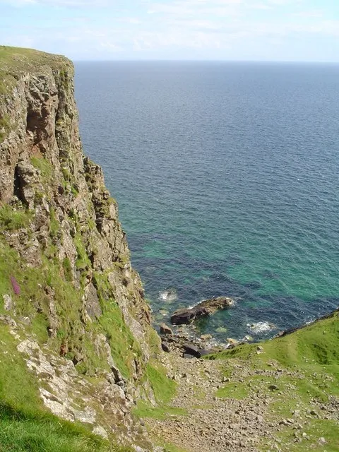 Tolsta Head Natural site, Western Isles8.8 km E
-
Eilean a Muigh Heisgeir Island, Western Isles8 km E
-
Eilean Glas Cuilatotar Mountain, Western Isles9.4 km NE
More nature in United Kingdom
-
Cirein Seileageo Mountain, Western Isles11 km NE
-
Roishal More Mountain, Western Isles14 km SW
-
Bun Bacabhat Mountain, Western Isles12 km NE
-
Stac a' Filiscleitir Mountain, Western Isles12 km NE
-
An Campar Mor Mountain, Western Isles12 km NE
-
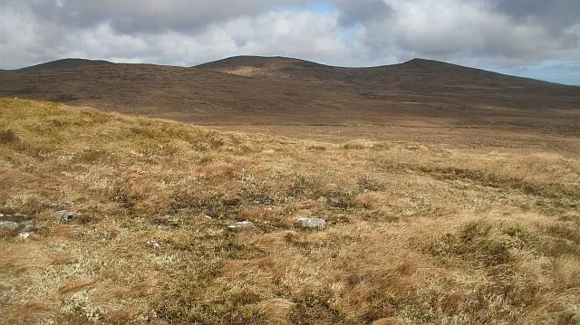 Ben Barvas Mountain, Western Isles18 km SW
Sources & licences
Data last updated: · 2 independent sources