Roneval
Located in Western Isles, Scotland Coordinates: 57°46′00″ N 6°58′00″ W
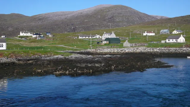
- Elevation
- 308 m
- above sea level
- Local time
- UTC+00:00
- Europe/London · UTC+00:00
About Roneval
Roneval is a mountain. Location: Western Isles, Scotland. Elevation: 308 m.
Roineabhal is a hill in Harris, in the Western Isles of Scotland. The granite on the summit plateau of the mountain is anorthosite, and is similar in composition to rocks found in the mountains of the Moon. The area is part of the South Lewis, Harris and North Uist National Scenic Area. It is the site of the original Lingerbay 'superquarry' planning application, submitted in 1991 and finally withdrawn in 2004.
Read more on Wikipedia Text: Wikipedia contributors · CC BY-SA 4.0 · shortened
At a glance
- Topographic prominence
- 406 m
Source: Wikidata
In comparison
- No. 9550 of 18223 mountains in United Kingdom by elevation
- 89 sights and natural places within 10 km Roineabhal, Bhoiseabhal
Nearest towns and villages
-
Obbe Village, Western Isles2.2 km W
-
Rodel Village, Western Isles2.4 km S
-
Leverburgh Village, Western Isles2.6 km W
-
Finsbay Village, Western Isles2.6 km E
-
Borrisdale Village, Western Isles2.7 km SW
-
Carminish Village, Western Isles2.8 km SW
Nearby attractions & nature
Everything nearby-
Roineabhal Mountain, Western Isles0.5 km W
-
Bhoiseabhal Mountain, Western Isles1.2 km NW
-
Sranndabhal Mountain, Western Isles2 km SW
-
Scara Ruadh Mountain, Western Isles2.5 km N
-
Eilean Chollam Island, Western Isles2.2 km SE
-
Cnoc Bhomasdal Mountain, Western Isles3 km NW
-
Eilean Lingreabhaigh Island, Western Isles2.5 km SE
-
Loch na Moracha Lake, Western Isles2.7 km NW
More nature in United Kingdom
-
Rubha Reinis Mountain, Western Isles4 km S
-
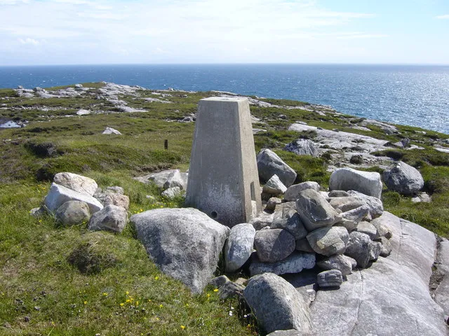 Rudha Quidnish Natural site, Western Isles5 km E
-
Loch Finsbay Natural site, Western Isles4 km E
-
Mula Mountain, Western Isles4.6 km NW
-
Greabhal Mountain, Western Isles5.4 km NW
-
Bleabhal Mountain, Western Isles5.7 km N
Sources & licences
Data last updated: · 2 independent sources