- Local time
- UTC+00:00
- Europe/London · UTC+00:00
- Airports
- BEB Benbecula Airport81 km
- BRR Barra Airport112 km
About Sgeir Dhomhuill
Sgeir Dhomhuill is an island. Location: Western Isles, Scotland. The nearest airport is Benbecula Airport (81 km). Nearby sights include Conachair and Oseval Mountain.
Photos of Sgeir Dhomhuill
-
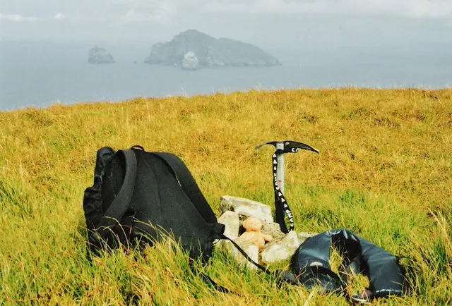
Cnoc Glas Andy Strangeway · CC BY-SA 2.0 -
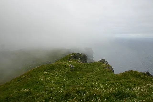
Mullach Bi Bob Jones · CC BY-SA 2.0 -
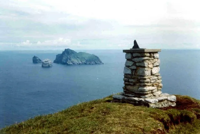
Conachair Ian Mitchell · CC BY-SA 2.0 -
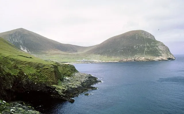
Oseval Mountain Des Colhoun · CC BY-SA 2.0 -
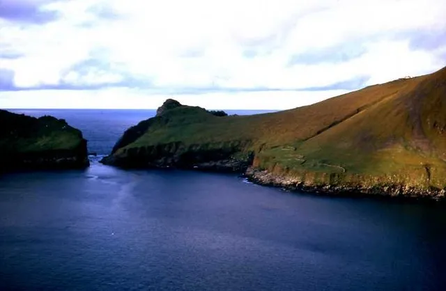
Ruabhal M J Richardson · CC BY-SA 2.0


Climate of Sgeir Dhomhuill
This month · November
A wet month
Day 9° · Night 6° · Rain 179 mm
- Hottest month
- August (day 13°)
- Coldest month
- March (night 3°)
- Wettest month
- October (190 mm)
- Driest month
- May (83 mm)
Bars: average monthly low and high temperature. Below: precipitation. Monthly averages for 1970–2000 at about 18 km resolution, adjusted for elevation. Highlighted months are mild and relatively dry. Source: WorldClim 2.1 (CC BY 4.0).
Show values as a table
| Month | Jan | Feb | Mar | Apr | May | Jun | Jul | Aug | Sep | Oct | Nov | Dec |
|---|---|---|---|---|---|---|---|---|---|---|---|---|
| Average high (°C) | 8° | 7° | 6° | 8° | 9° | 11° | 12° | 13° | 13° | 11° | 9° | 8° |
| Average low (°C) | 4° | 4° | 3° | 4° | 5° | 7° | 9° | 9° | 10° | 8° | 6° | 5° |
| Precipitation (mm) | 177 | 137 | 148 | 96 | 83 | 86 | 100 | 120 | 152 | 190 | 179 | 174 |
How to get to Sgeir Dhomhuill
The nearest airport is Benbecula Airport (BEB), 81 km to the southeast as the crow flies. The nearest large city is Glasgow, 341 km to the southeast.
Airports
- Benbecula Airport (BEB) Balivanich 81 kmsoutheast
- Barra Airport (BRR) Eoligarry 112 kmsoutheast
- Stornoway Airport (SYY) Stornoway, Western Isles 139 kmeast
Nearby large cities
- Glasgow Population: 626.4K 341 kmsoutheast
- Dundee Population: 148.2K 370 kmeast
- Edinburgh Population: 515K 388 kmsoutheast
- Aberdeen Population: 198.6K 395 kmeast
- Belfast Population: 348K 395 kmsoutheast
Straight-line distances; road distances are longer. Airport data: OurAirports.
Day trips from Sgeir Dhomhuill
Within 100 km: 6 historic and cultural sites, 222 natural sites, 492 lakes, rivers and coasts.
0–25 km39 places
- Leibhinis Island 5 kmSE
- Soay Island 4 kmW
- St Kilda Island 1 kmSW
- Dùn Island 3 kmS
25–60 km3 places
- Heisgeir Eagach Island 53 kmE
- Haskeir Island NE Top Mountain 54 kmE
- Haskeir Island 54 kmE
60–100 km678 places
- Lingay Island 80 kmE
- Siolaigh Mor Island 96 kmSE
- Flodaigh Beag Island 92 kmE
- Bhalaigh Island 96 kmE
Straight-line distances.
Nearby attractions & nature
Everything nearby-
Conachair Mountain, Western Isles0.6 km W
-
Oseval Mountain Mountain, Western Isles1.1 km S
-
Mina Stac Mountain, Western Isles0.5 km NW
-
Stac a Langa Island, Western Isles0.2 km SE
-
Bradastac Mountain, Western Isles1 km W
-
Oisebhal Mountain, Western Isles1 km SE
-
Abhainn Mhor River, Western Isles1.1 km SW
-
St Kilda Island, Western Isles1.4 km SW
Sources & licences
Data last updated: