Stromay
Located in Western Isles, Scotland Coordinates: 57°47′00″ N 7°02′00″ W
- Elevation
- 62 m
- above sea level
- Local time
- UTC+00:00
- Europe/London · UTC+00:00
About Stromay
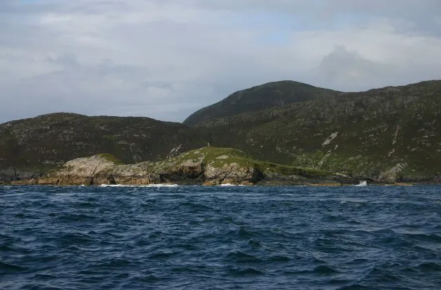
Stromay is an island. Location: Western Isles, Scotland.
Stromay (Scottish Gaelic: Sròmaigh) is a tidal island off North Uist in the Sound of Harris, Scotland. The low island of Stromay lies between two wide, shallow sea lochs, Loch Mhic Phàil and Loch Aulasary. Stromay is joined to North Uist for most of the tidal cycle. A smaller islet of the same name lies between Harris and Ensay, and another (Stròmaigh) between North Uist and Kirkibost. There are extensive sands and rocks offshore that are exposed at low tide.
Read more on Wikipedia Text: Wikipedia contributors · CC BY-SA 4.0 · shortened
In comparison
- 84 sights and natural places within 10 km Greabhal, Coitem
Climate of Stromay
| Month | Jan | Feb | Mar | Apr | May | Jun | Jul | Aug | Sep | Oct | Nov | Dec |
|---|---|---|---|---|---|---|---|---|---|---|---|---|
| Average high (°C) | 7° | 7° | 8° | 9° | 12° | 14° | 15° | 15° | 14° | 12° | 9° | 8° |
| Average low (°C) | 3° | 2° | 3° | 4° | 6° | 9° | 11° | 11° | 9° | 7° | 5° | 4° |
| Precipitation (mm) | 159 | 117 | 132 | 80 | 67 | 78 | 92 | 105 | 145 | 170 | 170 | 162 |
Monthly averages for 1970–2000 at about 18 km resolution, adjusted for elevation. Highlighted months are mild and relatively dry. Source: WorldClim 2.1 (CC BY 4.0).
Airports nearest to Stromay
- Benbecula Airport (BEB) Balivanich 39 km
- Stornoway Airport (SYY) Stornoway, Western Isles 64 km
- Barra Airport (BRR) Eoligarry 88 km
Straight-line distance; airports with scheduled flights only. Source: OurAirports (public domain).
Nearest towns and villages
-
Glen Kyles Village, Western Isles0.4 km SW
-
Leverburgh Village, Western Isles2 km SE
-
Northton Village, Western Isles2.3 km NW
-
Taobh Tuath Village, Western Isles2.3 km NW
-
Obbe Village, Western Isles2.6 km SE
-
Carminish Village, Western Isles3.4 km SE
Nearby attractions & nature
Everything nearby-
Greabhal Mountain, Western Isles1.1 km NW
-
Bideanan Mountain, Western Isles1.8 km W
-
Saghaigh Mòr Island, Western Isles1.9 km SW
-
Saghaigh Beag Island, Western Isles2 km SW
-
Mula Mountain, Western Isles2.4 km NE
-
Loch na Moracha Lake, Western Isles2 km E
-
Coitem Island, Western Isles1.8 km SW
-
Maodal Mountain, Western Isles2.5 km NW
Sources & licences
Data last updated: · 2 independent sources