Bwrdd Arthur
Located in Llanddona, Anglesey Coordinates: 53°18′35″ N 4°07′27″ W
- Elevation
- 164 m
- above sea level
- Local time
- UTC+00:00
- Europe/London · UTC+00:00
About Bwrdd Arthur
Bwrdd Arthur is a mountain. Location: Llanddona, Anglesey. Elevation: 164 m.
In comparison
- No. 14178 of 18223 mountains in United Kingdom by elevation
- 19 sights and natural places within 10 km Castell Aberlleiniog, Penmon Mediumwave Transmitter
Airports nearest to Bwrdd Arthur
- Liverpool John Lennon Airport (LPL) Liverpool 85 km
- Isle of Man Airport (IOM) Castletown, Rushen 92 km
- Manchester Airport (MAN) Manchester, Greater Manchester 123 km
Straight-line distance; airports with scheduled flights only. Source: OurAirports (public domain).
Nearest towns and villages
-
Llanddona Village, Llanddona2.1 km SW
-
Penhwnllys Village, Llanddona1.2 km SE
-
Llanfihangel-ty’n-Sylwy Village, Llanddona1.2 km SW
-
Llangoed Village, Llangoed3 km SE
-
Rhos Llaniestyn Village, Llanddona1.8 km S
-
Glan-yr-afon Village, Llangoed2.1 km E
Nearby attractions & nature
Everything nearby-
Red Wharf Bay Natural site, Wales3.9 km NW
-
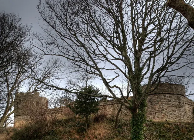 Castell Aberlleiniog Historic site, Llangoed3.6 km SE
-
Mynydd Llwydiarth Mountain, Pentraeth5.2 km SW
-
Moel Castell Mawr Mountain, Llanfair-Mathafarn-Eithaf6 km W
-
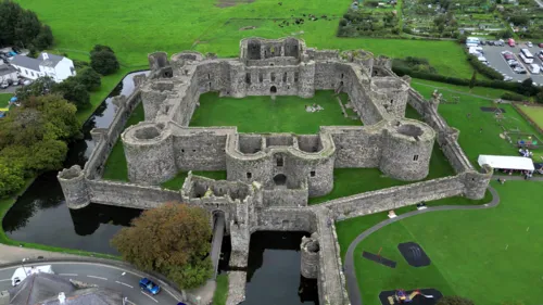 Beaumaris Castle Historic site, Beaumaris5.5 km SE
-
Lleiniog near Penmon Historic site, Llangoed4.1 km SE
-
Penmon Mediumwave Transmitter Landmark, Llangoed3.8 km SE
-
Puffin Island Island, Llangoed6.6 km E
Sources & licences
Data last updated: