Caerphilly Castle
Local name: Castell Caerffili
Located in Caerphilly, Caerphilly County Borough Coordinates: 51°34′34″ N 3°13′13″ W
- Local time
- UTC+00:00
- Europe/London · UTC+00:00
- Elevation
- 88 m
- above sea level
About Caerphilly Castle
Caerphilly Castle is a historic site. Location: Caerphilly, Caerphilly County Borough.
Caerphilly Castle (Welsh: Castell Caerffili) is a medieval fortification in Caerphilly in South Wales. The castle was constructed by Gilbert de Clare in the 13th century as part of his campaign to maintain control of Glamorgan, and saw extensive fighting between Gilbert, his descendants, and the native Welsh rulers.
Read more on Wikipedia Text: Wikipedia contributors · CC BY-SA 4.0 · shortened
At a glance
- Built
- 1268
- Heritage designation
- Grade I listed building, scheduled monument, National Monument of Wales
- Area
- 1.2 ha
Source: Wikidata
In comparison
- 44 sights and natural places within 10 km Pen Castell y Van, Caerphilly Common
Nearby attractions & nature
Everything nearby-
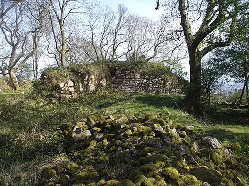 Morgraig Castle Historic site, Caerphilly2.7 km S
-
Gwern y Domen Historic site, Van2.1 km NE
-
Caerphilly Common Mountain, Caerphilly1.5 km S
-
Pen Castell y Van Mountain, Van1.3 km E
-
Cefncarnau Mountain, Caerphilly2.5 km SE
-
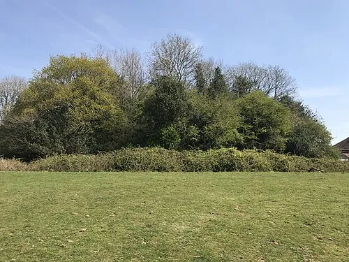 Twmpath Motte Historic site, Rhiwbina4.9 km S
-
Mynydd Rudry Mountain, Rudry2.6 km E
-
Ysgubor Wen Motte Historic site, Llanishen4.7 km S
Nearest towns and villages
-
Caerphilly Town, Caerphilly0.2 km SE
-
Bedwas Town, Bedwas, Trethomas and Machen2.3 km NE
-
Denscombe Neighbourhood, Caerphilly0.4 km SW
-
St Martins Neighbourhood, Caerphilly0.7 km SW
Sources & licences
Data last updated: · 2 independent sources