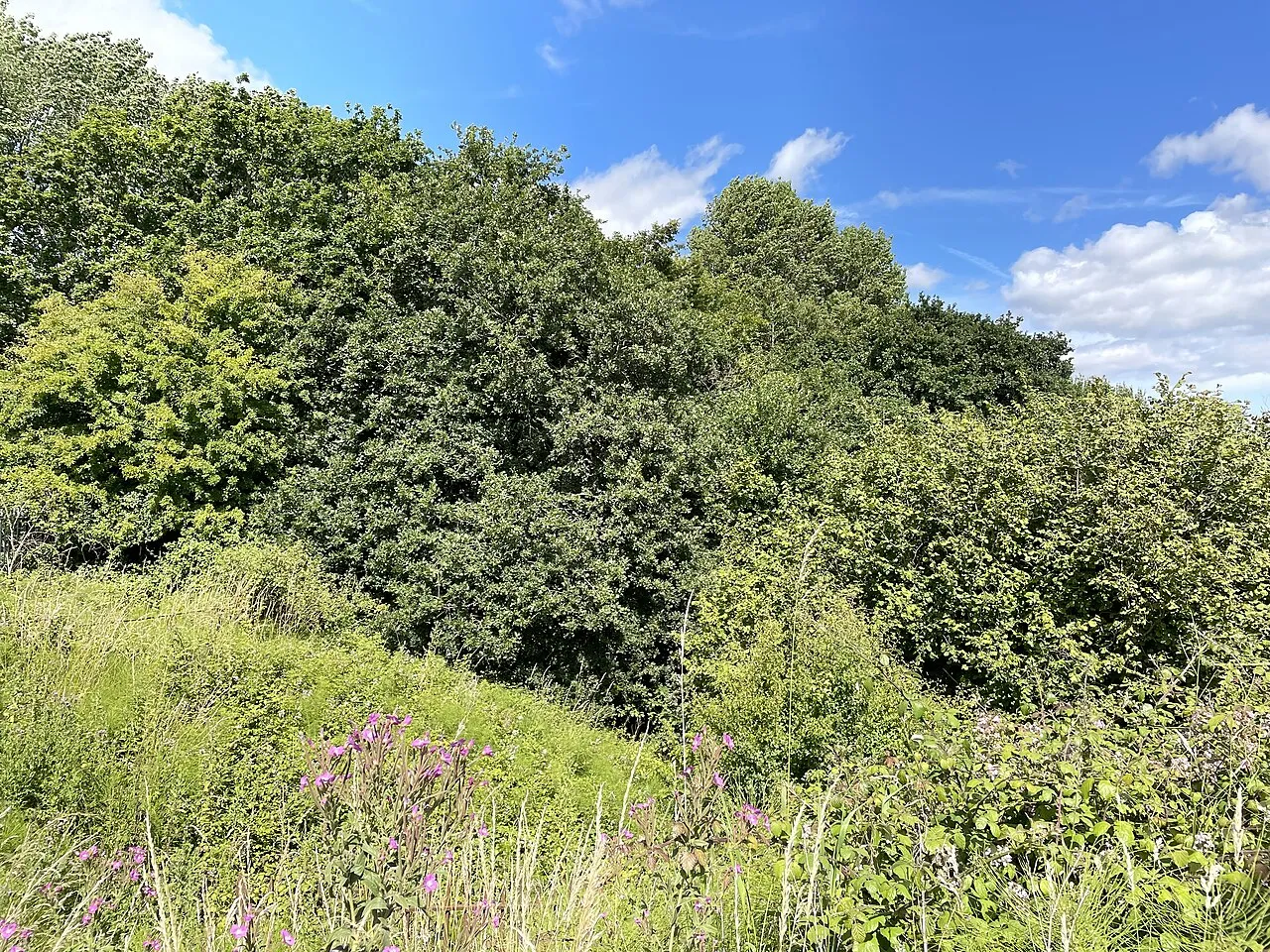
Caer Castell
Located in Rumney, Cardiff Coordinates: 51°31′00″ N 3°06′56″ W
- Local time
- UTC+00:00
- Europe/London · UTC+00:00
- Elevation
- 51 m
- above sea level
About Caer Castell
Caer Castell is a historic site. Location: Rumney, Cardiff.
Caer Castell Camp, also known as Caer Castell Ring Motte, is a medieval motte and ditch in Rumney in Cardiff, Wales, which is a scheduled monument.
Read more on Wikipedia Text: Wikipedia contributors · CC BY-SA 4.0 · shortened
At a glance
- Heritage designation
- scheduled monument, National Monument of Wales
Source: Wikidata
In comparison
- 47 sights and natural places within 10 km Rumney Castle, Rhymney River
Nearby attractions & nature
Everything nearby-
Rumney Castle Historic site, Rumney2.2 km SW
-
Wentloog Castle Historic site, Marshfield4 km NE
-
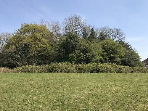 Twmpath Motte Historic site, Rhiwbina7.6 km W
-
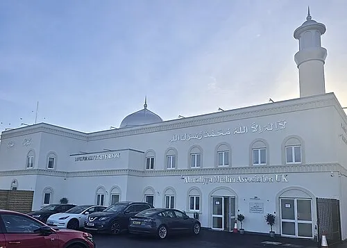 Baitur Raheem Mosque Attraction, Canton8 km SW
-
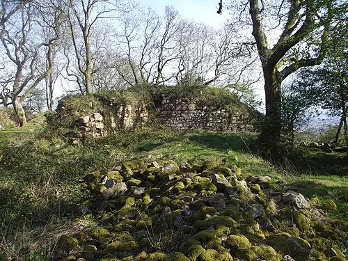 Morgraig Castle Historic site, Caerphilly7.8 km NW
-
Ysgubor Wen Motte Historic site, Llanishen6.6 km W
-
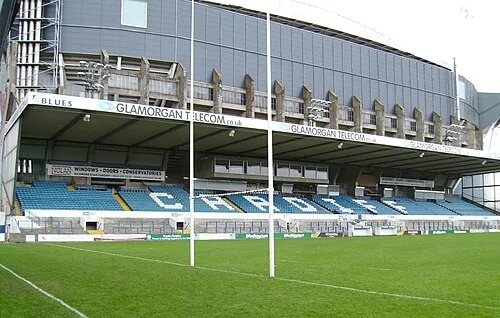 Cardiff Arms Park Natural site, Castle6.3 km SW
-
Cardiff Castle Historic site, Castle6 km SW
Nearest towns and villages
-
Saint Mellons Village, Rumney0.1 km W
-
Trowbridge Neighbourhood, Rumney0.3 km NE
-
Pontprennau Municipality, Cardiff3.2 km NW
-
Rumney Neighbourhood, Rumney0.9 km SW
Sources & licences
Data last updated: · 2 independent sources