Whitchurch
Located in Cardiff, Wales Coordinates: 51°30′55″ N 3°13′37″ W
- Population
- 14,328
- 14.3K
- Elevation
- 35 m
- above sea level
- Local time
- UTC+00:00
- Europe/London · UTC+00:00
- Places inside
- 5
- listed under Whitchurch
About Whitchurch
Whitchurch is a municipality. Location: Cardiff, Wales. Population: 14,328. Elevation: 35 m.
Whitchurch (Welsh: Yr Eglwys Newydd, lit. 'the New Church') is a suburb and community in the north of Cardiff, capital of Wales. It is approximately 3 miles north of the centre of the city on the A470 road and A4054 road. It falls within the Whitchurch & Tongwynlais ward. The population of the community in 2021 was 15,817.
Read more on Wikipedia Text: Wikipedia contributors · CC BY-SA 4.0 · shortened
In comparison
- No. 3 of 6 places in Cardiff by population
- Nearest larger town: Llanishen, 3 km NE
- 65 sights and natural places within 10 km Treoda, Twmpath Motte
- Listed here: Neighbourhood: 3, Historic site: 1, Town: 1
Places in Whitchurch
5 places-
Whitchurch Town14K
-
Birchgrove Neighbourhood
-
Coryton Neighbourhood
-
Forest Farm Neighbourhood
-
Treoda Historic site
Nearby attractions & nature
Everything nearby-
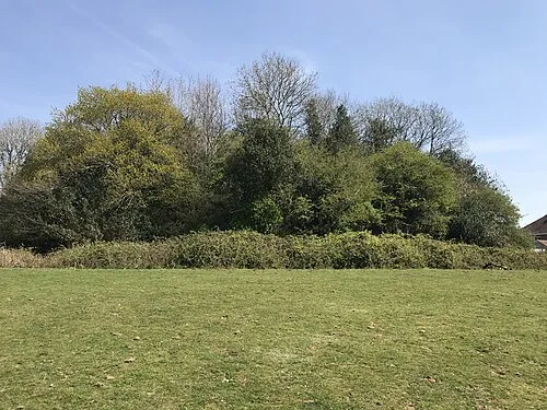 Twmpath Motte Historic site, Rhiwbina1.9 km N
-
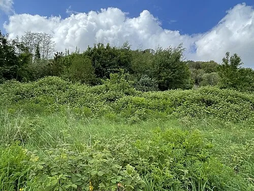 Morganstown Motte Historic site, Radyr and Morganstown2.7 km NW
-
Woodhill Mountain, Tongwynlais2.2 km N
-
Ysgubor Wen Motte Historic site, Llanishen2.7 km NE
-
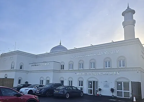 Baitur Raheem Mosque Attraction, Canton4.1 km S
-
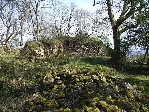 Morgraig Castle Historic site, Caerphilly4.2 km N
-
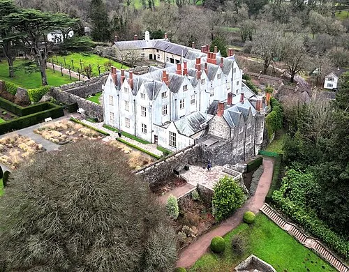 St Fagans Castle Historic site, St. Fagans4.3 km SW
-
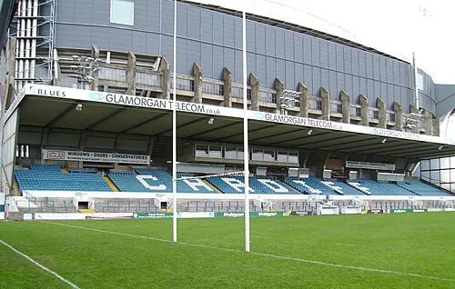 Cardiff Arms Park Natural site, Castle5 km SE
Other cities and towns in Cardiff
-
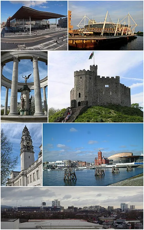 Cardiff City, Castle5.1 km SE
-
Grangetown Municipality, Cardiff6.7 km SE
-
Lisvane Municipality, Cardiff4.6 km NE
-
Pontprennau Municipality, Cardiff6.8 km NE
-
Radyr and Morganstown Municipality, Cardiff2.2 km W
-
Llandaff Municipality, Cardiff1.9 km S
Sources & licences
Data last updated: · 2 independent sources