Llandybie
Located in Carmarthenshire, Wales Coordinates: 51°48′34″ N 4°00′15″ W
- Elevation
- 54 m
- above sea level
- Local time
- UTC+00:00
- Europe/London · UTC+00:00
- Places inside
- 16
- listed under Llandybie
About Llandybie
Llandybie is a municipality. Location: Carmarthenshire, Wales. Elevation: 54 m.
In comparison
- Nearest larger town: Llandybie, 1 km N
- 44 sights and natural places within 10 km Tir y Dail house, Pen Pant-y-llyn
- Listed here: Village: 13, Mountain: 2, Neighbourhood: 1
Airports nearest to Llandybie
- Cardiff International Airport (CWL) Cardiff 65 km
- Bristol Airport (BRS) Bristol 101 km
- Exeter International Airport (EXT) Exeter, Devon 127 km
Straight-line distance; airports with scheduled flights only. Source: OurAirports (public domain).
Places in Llandybie
16 places-
Llandybie Village2.8K
-
Blaenau Village
-
Cae'r-bryn Village
-
Capel Hendre Village
-
Cwmgwili Village
-
Derwydd Village
-
Fferws Hill Neighbourhood
-
Gors-goch Village
-
Morfa Village
-
Pen Pant-y-llyn Mountain
-
Pentre-Gwenlais Village
-
Penybanc Village
-
Pen-y-groes Village
-
Pontyblodau Village
-
Saron Village
-
Wern Ty-isaf Mountain
Nearby attractions & nature
Everything nearby-
Tir y Dail house Historic site, Ammanford1.8 km S
-
Garn Mountain, Llanfihangel Aberbythych3.4 km NW
-
Castell y Rhingyll Historic site, Llanfihangel Aberbythych4 km W
-
Banc y Llyn Mountain, Llanfihangel Aberbythych4.3 km W
-
Carmel Transmitting Station Landmark, Llanfihangel Aberbythych4.4 km W
-
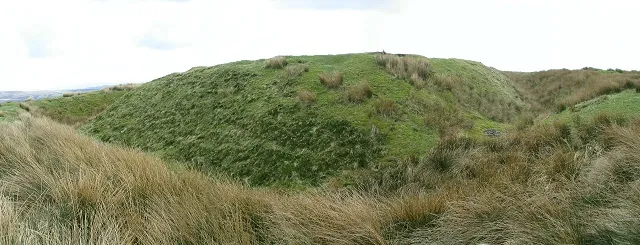 Penller Castell Historic site, Mawr6.5 km SE
-
Carreg Dwfn Mountain, Cyngor Bro Dyffryn Cennen4.7 km NE
-
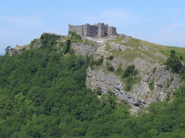 Carreg Cennen Castle Historic site, Cyngor Bro Dyffryn Cennen6.9 km NE
Sources & licences
Data last updated: