Efenechtyd
Located in Denbighshire, Wales Coordinates: 53°05′25″ N 3°20′10″ W
- Elevation
- 194 m
- above sea level
- Local time
- UTC+00:00
- Europe/London · UTC+00:00
- Places inside
- 5
- listed under Efenechtyd
About Efenechtyd
Efenechtyd is a municipality. Location: Denbighshire, Wales. Elevation: 194 m.
In comparison
- Nearest larger town: Ruthin, 3 km NE
- 41 sights and natural places within 10 km Graig Lom, Pen Coed y Fron-wyllt uchaf
- Listed here: Mountain: 3, Village: 2
Places in Efenechtyd
5 places-
Craig-adwy-wynt Mountain
-
Efenechtyd Village
-
Graig Lom Mountain
-
Pwll-glâs Village
-
Tyddyn-Roger Mountain
Nearby attractions & nature
Everything nearby-
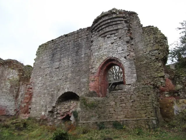 Ruthin Castle Historic site, Ruthin3 km NE
-
Pen Coed y Fron-wyllt uchaf Mountain, Clocaenog1.9 km W
-
Llys y Frenhines Mountain, Clocaenog4.2 km W
-
Pen-y-garth Mountain, Llanynys4.7 km NW
-
Cefn Du Mountain, Clocaenog5.6 km W
-
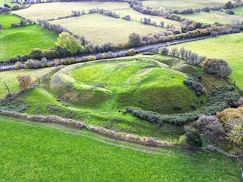 Tomen y Rhodwydd Historic site, Llandegla8.1 km SE
-
Boncyn Foel-bach Mountain, Derwen5.8 km SW
-
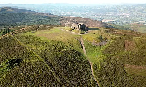 Moel Famau Mountain, Cilcain9 km NE
Sources & licences
Data last updated: