Moel Sych
Located in Llandrillo, Denbighshire Coordinates: 52°52′34″ N 3°23′20″ W
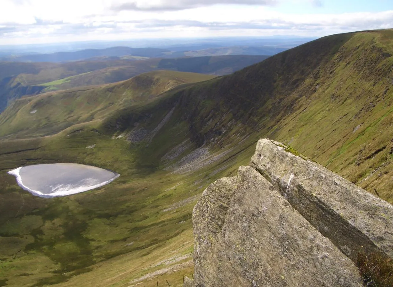
- Elevation
- 827 m
- above sea level
- Local time
- UTC+00:00
- Europe/London · UTC+00:00
About Moel Sych
Moel Sych is a mountain. Location: Llandrillo, Denbighshire. Elevation: 827 m.
Moel Sych (pronounced [mɔi̯l sɨːχ]) with a height of 826.7 metres (2,712 ft) is a subsidiary summit of Cadair Berwyn in north east Wales. It is the third highest summit in the Berwyn range after Cadair Berwyn and Cadair Berwyn North Top. The summit lies at the triple historic county boundary point of Montgomeryshire, Denbighshire and Merionethshire. It is the highest point (historic county top) of Montgomeryshire.
Read more on Wikipedia Text: Wikipedia contributors · CC BY-SA 4.0 · shortened
At a glance
- Topographic prominence
- 34 m
Source: Wikidata
In comparison
- No. 1101 of 18223 mountains in United Kingdom by elevation
- 55 sights and natural places within 10 km Cadair Berwyn North Top, Berwyn
Nearest towns and villages
-
Llanrhaeadr-ym-Mochnant Municipality, Powys4.9 km SE
-
Llangynog Village, Llangynog4.8 km S
-
Llandrillo Village, Llandrillo6.1 km NW
-
Llangynog Municipality, Powys5.7 km SW
-
Llanrhaeadr-ym-Mochnant Village, Llanrhaeadr-ym-Mochnant8.1 km SE
-
Pencraig Village, Llangynog5.3 km S
Nearby attractions & nature
Everything nearby-
Cadair Berwyn North Top Mountain, Llandrillo1 km NE
-
Berwyn Mountain, Wales1.3 km SW
-
Moel yr Ewig Mountain, Llanrhaeadr-ym-Mochnant1.4 km E
-
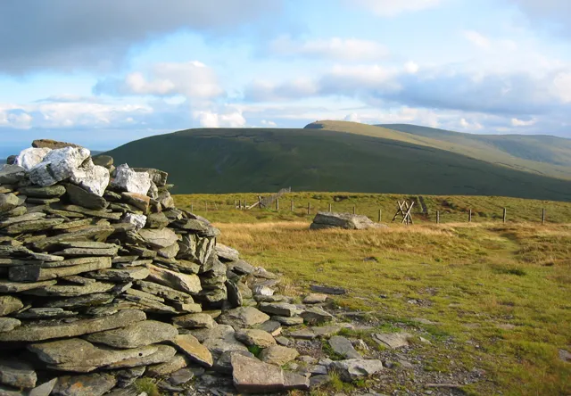 Cadair Bronwen Mountain, Llandrillo3 km N
-
Moel Poethion Mountain, Llanrhaeadr-ym-Mochnant2 km SE
-
Tomle Mountain, Llanrhaeadr-ym-Mochnant2.5 km NE
-
Pistyll Rhaeadr Natural site, Llanrhaeadr-ym-Mochnant2.4 km S
-
Godor Mountain, Llanrhaeadr-ym-Mochnant3 km E
Sources & licences
Data last updated: · 2 independent sources