Moel Arthur
Located in Nannerch, Flintshire Coordinates: 53°11′04″ N 3°16′50″ W
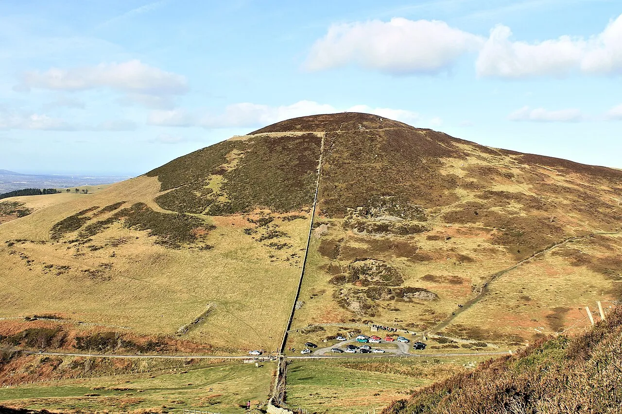
- Elevation
- 456 m
- above sea level
- Local time
- UTC+00:00
- Europe/London · UTC+00:00
About Moel Arthur
Moel Arthur is a mountain. Location: Nannerch, Flintshire. Elevation: 456 m.
At a glance
- Topographic prominence
- 120 m
Source: Wikidata
In comparison
- No. 6006 of 18223 mountains in United Kingdom by elevation
- 41 sights and natural places within 10 km Moel Llys-y-coed, Moel Plas-yw
Airports nearest to Moel Arthur
- Liverpool John Lennon Airport (LPL) Liverpool 33 km
- Manchester Airport (MAN) Manchester, Greater Manchester 69 km
- Birmingham Airport (BHX) Birmingham, West Midlands 131 km
Straight-line distance; airports with scheduled flights only. Source: OurAirports (public domain).
Nearest towns and villages
-
Llandyrnog Village, Llandyrnog3.9 km W
-
Rhiwbebyll Village, Llandyrnog2 km W
-
Llandyrnog Municipality, Denbighshire2.7 km W
-
Tre-lan Village, Cilcain2.5 km E
-
Llangwyfan Village, Llandyrnog2.3 km W
-
Llangynhafal Municipality, Denbighshire2.9 km S
Nearby attractions & nature
Everything nearby-
Moel Llys-y-coed Mountain, Cilcain0.8 km SE
-
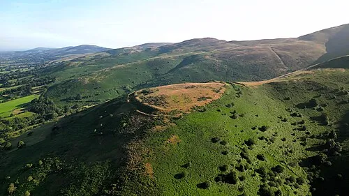 Clwydian Range Mountain, Wales2 km E
-
Moel Plas-yw Mountain, Nannerch1.1 km NE
-
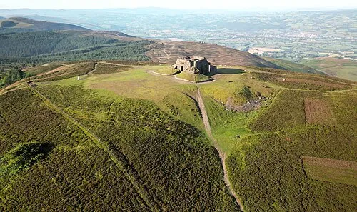 Moel Famau Mountain, Cilcain3.7 km SE
-
Penycloddiau Mountain, Ysceifiog2.6 km NW
-
Moel Dywyll Mountain, Cilcain2.9 km S
-
Bryn Golau Mountain, Nannerch3.5 km N
-
Pen Coed Du Mountain, Cilcain4.4 km E
Sources & licences
Data last updated: · 2 independent sources