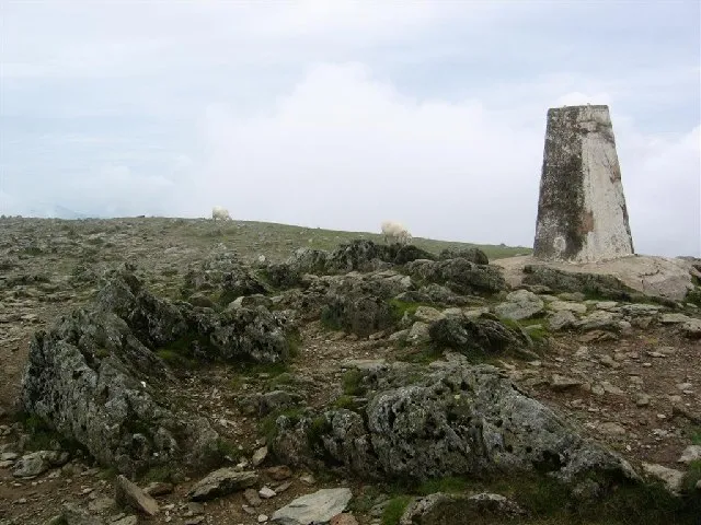
- Elevation
- 1,065 m
- above sea level
- Local time
- UTC+00:00
- Europe/London · UTC+00:00
- Airports
- LPL Liverpool John Lennon Airport87 km
- IOM Isle of Man Airport118 km
About Carnedd Ugain
Carnedd Ugain is a mountain. Location: Llanberis, Gwynedd. Elevation: 1,065 m.
Garnedd Ugain, the summit of Crib-y-Ddysgl ridge, is a pyramidal mountain in Wales that forms part of the Snowdon Massif. It is the second-highest peak in Wales (although with a far greater topographical prominence Carnedd Llywelyn is usually considered second highest) and lies just under one kilometre north of the summit of Snowdon itself. It is part of the Snowdon Horseshoe route, being linked to Crib Goch via the col at Bwlch Coch, and to Snowdon summit via the col at Bwlch Glas.
Source: Wikipedia · CC BY-SA 4.0
At a glance
- Topographic prominence
- 72 m
Source: Wikidata
Climate of Carnedd Ugain
This month · November
A wet month
Day 4° · Night -1° · Rain 177 mm
- Hottest month
- July (day 13°)
- Coldest month
- February (night -4°)
- Wettest month
- November (177 mm)
- Driest month
- May (88 mm)
Bars: average monthly low and high temperature. Below: precipitation. Monthly averages for 1970–2000 at about 18 km resolution, adjusted for elevation. Highlighted months are mild and relatively dry. Source: WorldClim 2.1 (CC BY 4.0).
Show values as a table
| Month | Jan | Feb | Mar | Apr | May | Jun | Jul | Aug | Sep | Oct | Nov | Dec |
|---|---|---|---|---|---|---|---|---|---|---|---|---|
| Average high (°C) | 1° | 1° | 3° | 6° | 9° | 12° | 13° | 13° | 11° | 8° | 4° | 2° |
| Average low (°C) | -4° | -4° | -3° | -2° | 1° | 4° | 6° | 6° | 4° | 2° | -1° | -3° |
| Precipitation (mm) | 157 | 116 | 139 | 96 | 88 | 94 | 97 | 115 | 131 | 161 | 177 | 168 |
How to get to Carnedd Ugain
The nearest airport is Liverpool John Lennon Airport (LPL), 87 km to the east as the crow flies. The nearest large city is Birkenhead, 79 km to the northeast.
Airports
- Liverpool John Lennon Airport (LPL) Liverpool 87 kmeast
- Isle of Man Airport (IOM) Castletown, Rushen 118 kmnorth
- Manchester Airport (MAN) Manchester, Greater Manchester 124 kmeast
Nearby large cities
- Birkenhead Population: 325.3K 79 kmnortheast
- Liverpool Population: 496.8K 82 kmnortheast
- St Helens Population: 183.2K 99 kmnortheast
- Warrington Population: 172.3K 106 kmeast
- Blackpool Population: 145K 107 kmnortheast
Straight-line distances; road distances are longer. Airport data: OurAirports.
Nearest towns and villages
-
Gwastadnant Village, Llanberis2.5 km N
-
Llanberis Village, Llanberis6 km NW
-
Nant Peris Village, Llanberis3.3 km N
-
Nant Gwynant Village, Beddgelert3.9 km SE
-
Rhyd-Ddu Village, Betws Garmon4.7 km SW
-
Ffridd Uchaf Village, Betws Garmon4.8 km SW
Nearby attractions & nature
Everything nearby-
Snowdon Mountain, Betws Garmon0.8 km S
-
Snowdonia Natural site, Gwynedd1 km NW
-
Glaslyn Lake, Beddgelert0.8 km SE
-
Crib Goch Mountain, Llanberis1.4 km E
-
Llechog Mountain, Llanberis1.7 km N
-
Y Lliwedd Mountain, Beddgelert2.2 km SE
-
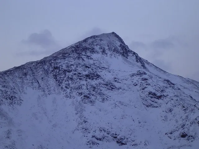 Yr Aran Mountain, Beddgelert3.7 km S
-
Y Lliwedd East Top Mountain, Beddgelert2.3 km SE
Sources & licences
Data last updated: · 2 independent sources