Llandwrog
Located in Gwynedd, Wales Coordinates: 53°04′55″ N 4°17′09″ W
- Elevation
- 62 m
- above sea level
- Local time
- UTC+00:00
- Europe/London · UTC+00:00
- Places inside
- 9
- listed under Llandwrog
About Llandwrog
Llandwrog is a municipality. Location: Gwynedd, Wales. Elevation: 62 m.
In comparison
- Nearest larger town: Groeslon, 1 km SE
- 31 sights and natural places within 10 km Dinas Dinlle, Mynydd y Cilgwyn
- Listed here: Village: 6, Mountain: 2, Neighbourhood: 1
Places in Llandwrog
9 places-
Groeslon Village880
-
Bathesda Bach Neighbourhood
-
Carmel Village
-
Cilgwyn Village
-
Dinas Dinlle Mountain
-
Dinas Dinlle Village
-
Llandwrog Village
-
Mynydd y Cilgwyn Mountain
-
Y Fron Village
Nearby attractions & nature
Everything nearby-
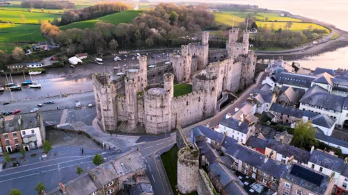 Caernarfon Castle Historic site, Caernarfonshire6.4 km N
-
Moel Tryfan Mountain, Betws Garmon4.5 km E
-
Moel Smytho Mountain, Betws Garmon5.3 km E
-
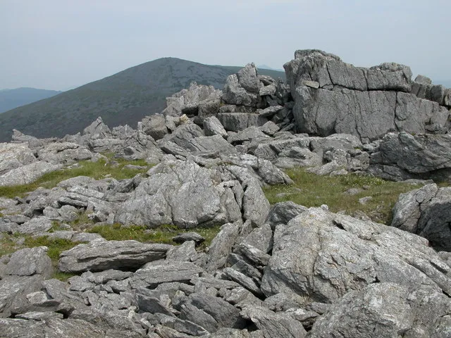 Mynydd Graig Goch Mountain, Dolbenmaen8.3 km S
-
Foel Mountain, Clynnog6 km S
-
Dyffryn Nantlle Natural site, Wales5.8 km SE
-
Coed Helen Mountain, Caernarfonshire6.1 km N
-
Caernarfon Town FC Landmark, Caernarfonshire6 km N
Sources & licences
Data last updated: