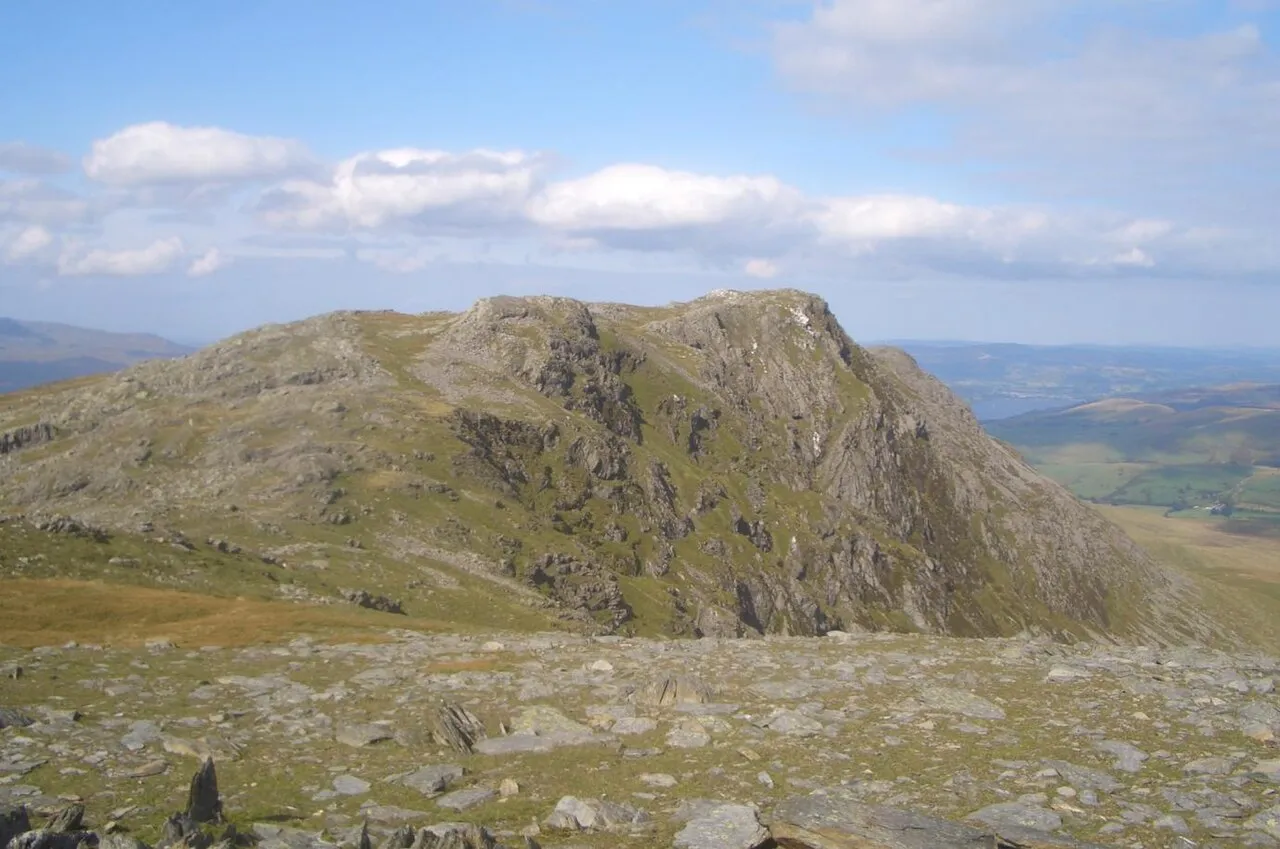
- Elevation
- 885 m
- above sea level
- Local time
- UTC+00:00
- Europe/London · UTC+00:00
- Airports
- LPL Liverpool John Lennon Airport81 km
- MAN Manchester Airport112 km
About Aran Benllyn
Aran Benllyn is a mountain. Location: Llanuwchllyn, Gwynedd. Elevation: 885 m.
Aran Benllyn is a subsidiary summit of Aran Fawddwy in southern Snowdonia, Wales. It is the second highest peak in the Aran mountain range. It rises from the south shore of Llyn Tegid (Bala Lake), and tops the northern point on the main Aran ridge. In between it and Aran Fawddwy lies another summit: Erw y Ddafad-ddu. The summit has a few rocky outcrops and is marked by a small cairn.
Read more on Wikipedia Text: Wikipedia contributors · CC BY-SA 4.0 · shortened
At a glance
- Topographic prominence
- 50 m
Source: Wikidata
In comparison
- No. 767 of 18223 mountains in United Kingdom by elevation
- 69 sights and natural places within 10 km Pen-aran, Erw y Ddafad-ddu
Climate of Aran Benllyn
Bars: average monthly low and high temperature. Below: precipitation. Monthly averages for 1970–2000 at about 18 km resolution, adjusted for elevation. Highlighted months are mild and relatively dry. Source: WorldClim 2.1 (CC BY 4.0).
Show values as a table
| Month | Jan | Feb | Mar | Apr | May | Jun | Jul | Aug | Sep | Oct | Nov | Dec |
|---|---|---|---|---|---|---|---|---|---|---|---|---|
| Average high (°C) | 2° | 2° | 4° | 6° | 10° | 13° | 14° | 14° | 12° | 8° | 5° | 3° |
| Average low (°C) | -3° | -3° | -2° | -1° | 2° | 4° | 7° | 6° | 4° | 2° | -1° | -2° |
| Precipitation (mm) | 164 | 119 | 140 | 98 | 87 | 98 | 98 | 117 | 131 | 158 | 177 | 175 |
Airports nearest to Aran Benllyn
- Liverpool John Lennon Airport (LPL) Liverpool 81 km
- Manchester Airport (MAN) Manchester, Greater Manchester 112 km
- Birmingham Airport (BHX) Birmingham, West Midlands 137 km
Straight-line distance; airports with scheduled flights only. Source: OurAirports (public domain).
Nearest towns and villages
-
Talardd Village, Llanuwchllyn3.9 km NE
-
Rhosdylluan Village, Llanuwchllyn4.9 km N
-
Pandy Village, Llanuwchllyn5.2 km N
-
Llanuwchllyn Village, Llanuwchllyn5.7 km N
-
Pennant Village, Mawddwy5.5 km SE
-
Llanymawddwy Village, Mawddwy6.4 km SE
Nearby attractions & nature
Everything nearby-
Pen-aran Mountain, Llanuwchllyn0.5 km NE
-
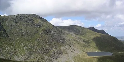 Aran Fawddwy Mountain, Llanuwchllyn1.9 km S
-
Erw y Ddafad-ddu Mountain, Llanuwchllyn0.9 km S
-
Foel Hafod-fynydd Mountain, Mawddwy1.9 km SE
-
Llechwedd Llyfn Mountain, Llanuwchllyn2.6 km E
-
Cwm Cynllwyd Natural site, Wales3.6 km NE
-
Llechwedd Du Mountain, Mawddwy3.3 km SE
-
Penmaen Mountain, Llanuwchllyn3.3 km NW
Sources & licences
Data last updated: · 2 independent sources