Treharris
Located in Merthyr Tydfil, Wales Coordinates: 51°39′59″ N 3°19′11″ W
- Elevation
- 244 m
- above sea level
- Local time
- UTC+00:00
- Europe/London · UTC+00:00
- Places inside
- 6
- listed under Treharris
About Treharris
Treharris is a municipality. Location: Merthyr Tydfil, Wales. Elevation: 244 m.
In comparison
- Nearest larger town: Treharris, 1 km E
- 32 sights and natural places within 10 km Goitre Coed, Twyn Brynbychan
- Listed here: Neighbourhood: 2, Village: 2, Mountain: 1, Town: 1
Places in Treharris
6 places-
Treharris Town12.4K
-
Edwardsville Neighbourhood
-
Goitre Coed Mountain
-
Goitre Coed Village
-
Pentwyn Berthlŵyd Neighbourhood
-
Quakers Yard Village
Nearby attractions & nature
Everything nearby-
Twyn Brynbychan Mountain, Merthyr Vale3 km NW
-
Pen-twyn Mountain, Ynysybwl and Coed-y-Cwm3.1 km W
-
Pen y Foel Mountain, Abercynon3.3 km SW
-
Craig-Evan-Leyshon Common Mountain, Abercynon3.4 km S
-
Cefn Merthyr Mountain, Merthyr Vale3.7 km N
-
Y Dduallt Mountain, Ynysybwl and Coed-y-Cwm4.8 km W
-
Coed yr Hendre Mountain, Bedlinog4.9 km N
-
Twyn Castell Historic site, Gelligaer4.9 km E
Other cities and towns in Merthyr Tydfil
-
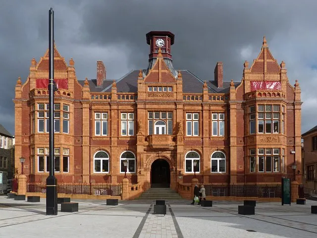 Merthyr Tydfil City, Town9.9 km NW
-
Merthyr Vale Municipality, Merthyr Tydfil2.6 km NW
-
Bedlinog Municipality, Merthyr Tydfil3.6 km N
-
Troed-y-Rhiw Municipality, Merthyr Tydfil6.9 km NW
-
Abercanaid Town, Troed-y-Rhiw7.1 km NW
-
Town Municipality, Merthyr Tydfil9.1 km N
Sources & licences
Data last updated: