Clydau
Located in Pembrokeshire, Wales Coordinates: 51°58′58″ N 4°32′45″ W
- Elevation
- 153 m
- above sea level
- Local time
- UTC+00:00
- Europe/London · UTC+00:00
- Places inside
- 12
- listed under Clydau
About Clydau
Clydau is a municipality. Location: Pembrokeshire, Wales. Elevation: 153 m.
In comparison
- Nearest larger town: Glogue, 4 km SW
- 29 sights and natural places within 10 km Castell Crychydd, Frenni Fach
- Listed here: Village: 8, Historic site: 2, Mountain: 2
Places in Clydau
12 places-
Glogue Village1
-
Bwlchygroes Village
-
Castell Crychydd Historic site
-
Cilrhedyn Village
-
Clydey Village
-
Frenni Fach Mountain
-
Hen Caerau Historic site
-
Llwyndrain Village
-
Pen Blaenpibydd Mountain
-
Rhos-y-llyn Village
-
Star Village
-
Tegryn Village
Nearby attractions & nature
Everything nearby-
Llanfyrnach Motte Historic site, Crymych4.8 km SW
-
Frenni Fawr Mountain, Boncath5 km W
-
Pen-rhiw-olau Mountain, Cenarth5.9 km N
-
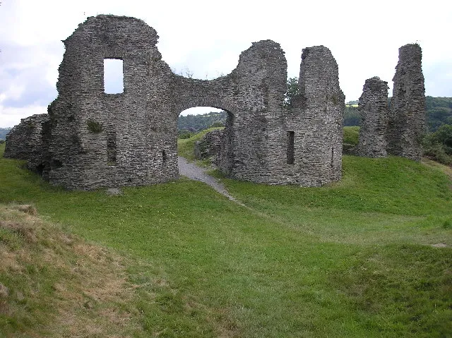 Newcastle Emlyn Castle Historic site, Newcastle Emlyn8.5 km NE
-
Stradmore Motte Historic site, Beulah7.1 km N
-
Castell Bach Historic site, Llanwinio7.1 km S
-
Bryn-eithin Mountain, Crymych6.4 km SW
-
Afon Cych River, Wales5.6 km N
Sources & licences
Data last updated: