Brecon Castle
Located in Brecon, Powys Coordinates: 51°56′58″ N 3°23′36″ W
- Local time
- UTC+00:00
- Europe/London · UTC+00:00
- Elevation
- 143 m
- above sea level
About Brecon Castle
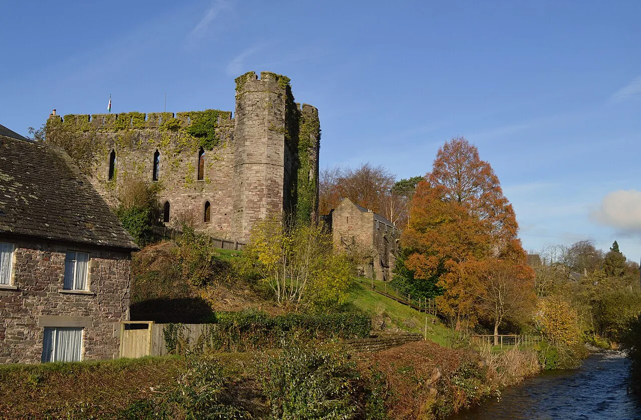
Brecon Castle is a historic site. Location: Brecon, Powys.
Brecon Castle (Welsh: Castell Aberhonddu) is a castle in the town Brecon, Wales. It was built by the Norman Lord Bernard de Neufmarché in 1093, and was frequently assaulted by the Welsh in the 13th and 15th centuries. The castle's ownership changed numerous times. It began falling into ruin when Henry VIII executed the last dukes of Buckingham, who at the time controlled the castle. It was renovated and made into a hotel in the early 19th century. It is a Grade I listed building.
Read more on Wikipedia Text: Wikipedia contributors · CC BY-SA 4.0 · shortened
At a glance
- Heritage designation
- scheduled monument, National Monument of Wales
Source: Wikidata
In comparison
- 62 sights and natural places within 10 km Honddu, Slwch Tump
Nearby attractions & nature
Everything nearby-
Beili Helyg Motte Historic site, Brecon1.6 km S
-
Slwch Tump Mountain, Brecon1.3 km E
-
Honddu River, Wales0.5 km W
-
Troed yr Harn Motte Historic site, Brecon2.8 km E
-
Llanddew Palace Historic site, Llanddew2.3 km NE
-
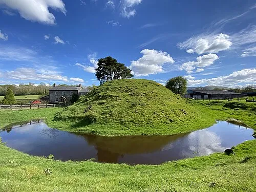 Cilwhybert Motte Historic site, Glyn Tarell3.5 km SW
-
Llandefaelog Fach Motte Historic site, Honddu Isaf3.7 km N
-
Cefn Cantref Mountain, Llanfrynach1.9 km S
Nearest towns and villages
Sources & licences
Data last updated: · 2 independent sources