Llanyre
Located in Powys, Wales Coordinates: 52°14′20″ N 3°25′19″ W
- Elevation
- 225 m
- above sea level
- Local time
- UTC+00:00
- Europe/London · UTC+00:00
- Places inside
- 6
- listed under Llanyre
About Llanyre
Llanyre is a municipality. Location: Powys, Wales. Elevation: 225 m.
In comparison
- Nearest larger town: Llanyre, 2 km NE
- 68 sights and natural places within 10 km Dol-y-fan Hill, Llandrindod Wells Mediumwave Transmitter, Mast Southwest
- Listed here: Village: 3, Mountain: 2, Historic site: 1
Places in Llanyre
6 places-
Newbridge on Wye Village566
-
Llanyre Village279
-
Dol-y-fan Hill Mountain
-
Rhiw Gwraidd Mountain
-
Woodcastle Castle Historic site
-
Y Bontnewydd-ar-Wy Village
Nearby attractions & nature
Everything nearby-
Llandrindod Wells Mediumwave Transmitter, Mast Southwest Landmark, Llandrindod Wells2.1 km E
-
Llandrindod Wells Mediumwave Transmitter, Mast Northeast Landmark, Llandrindod Wells2.1 km E
-
Pen Llys Ringwork Historic site, Llanafanfawr4.1 km SW
-
River Ithon River, Wales3.1 km SW
-
Llyn Gwyn Enclosure Historic site, Nantmel4.4 km NW
-
Neuadd Historic site, Llandrindod Wells3.9 km E
-
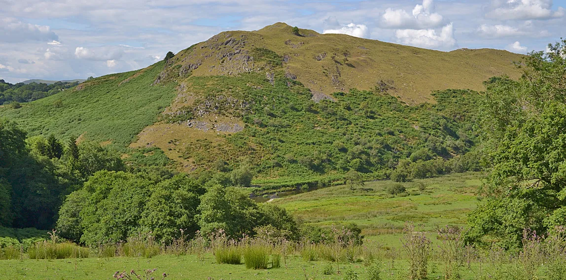 Cefnllys Castle Historic site, Penybont6 km E
-
Pen-llys Mountain, Llanafanfawr4.1 km SW
Sources & licences
Data last updated: