Nantmel
Located in Powys, Wales Coordinates: 52°17′27″ N 3°25′43″ W
- Population
- 686
- 686
- Elevation
- 281 m
- above sea level
- Local time
- UTC+00:00
- Europe/London · UTC+00:00
- Places inside
- 15
- listed under Nantmel
About Nantmel
Nantmel is a municipality. Location: Powys, Wales. Population: 686. Elevation: 281 m.
Nantmel is a village and a community in Radnorshire, Powys, Wales, and is 76.5 miles (123.1 km) from Cardiff and 150.5 miles (242.2 km) from London. In 2011 the population of Nantmel was 621 with 11.8% of them able to speak Welsh. The population of the community was 637 as of the 2011 UK Census. In 1870, John Marius Wilson described the village as a parish and village in the Rhayader district or Radnor.
Read more on Wikipedia Text: Wikipedia contributors · CC BY-SA 4.0 · shortened
At a glance
- Area
- 56 km²
Source: Wikidata
In comparison
- No. 3 of 4 places in Powys by population
- Nearest larger town: Rhayader, 6 km W
- 61 sights and natural places within 10 km Cefn Nantmel, Pen Coed Bwlch
- Listed here: Mountain: 7, Village: 6, Historic site: 2
Places in Nantmel
15 places-
Baxters Bank Mountain
-
Camlo Hill Mountain
-
Castle Hill Mountain
-
Cefn Nantmel Mountain
-
Dolau Village
-
Doldowlod Village
-
Gaufron Village
-
Gwastedyn Hill Mountain
-
Gwystre Village
-
Llyn Gwyn Enclosure Historic site
-
Nant-glas Village
-
Nantmel Village
-
Nantmel Castle Historic site
-
Pen Coed Bwlch Mountain
-
Pen yr Onnen Mountain
Nearby attractions & nature
Everything nearby-
Rhiw Gwraidd Mountain, Llanyre3.5 km S
-
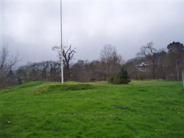 Rhayader Castle Historic site, Rhayader6 km W
-
Wennallt Mountain, Abbey Cwmhir4.5 km N
-
Llywy Mountain, Abbey Cwmhir4.6 km NE
-
Sugar Loaf Mountain, Abbey Cwmhir5 km NE
-
Moel Hywel Mountain, St. Harmon5.1 km NW
-
Abbey Cwmhir (Abbeycwmhir, Wales) Historic site, Abbey Cwmhir5.2 km NE
-
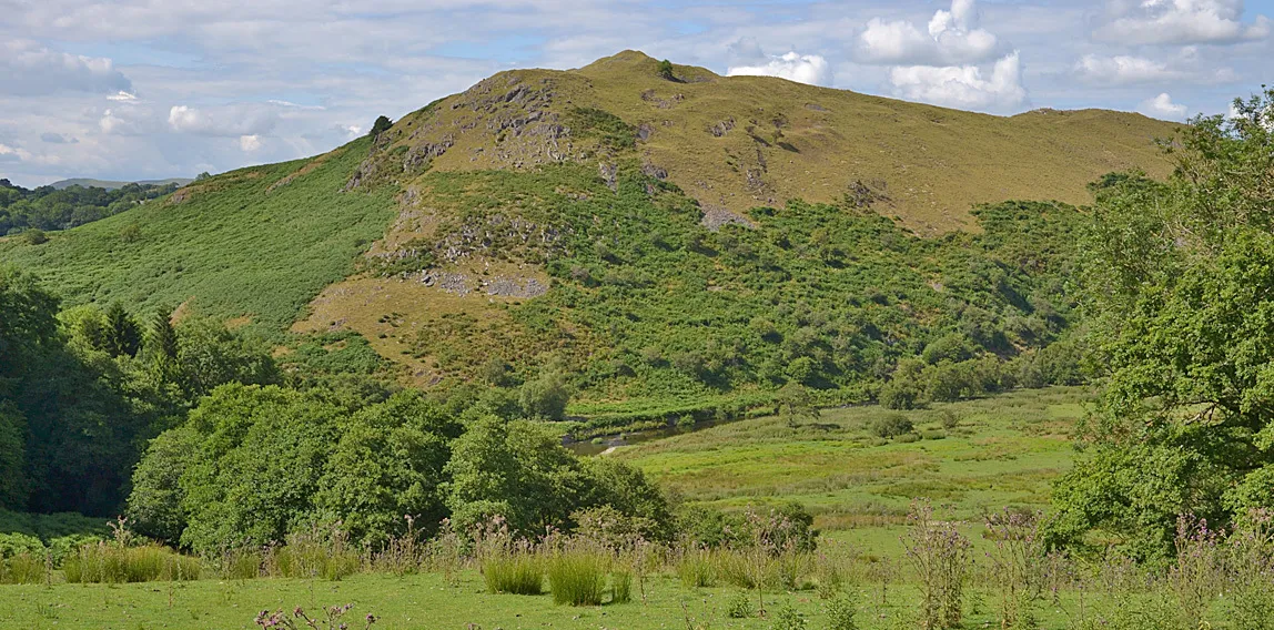 Cefnllys Castle Historic site, Penybont8.3 km SE
Sources & licences
Data last updated: · 2 independent sources