Llantarnam
Located in Torfaen County Borough, Wales Coordinates: 51°37′52″ N 3°00′25″ W
- Elevation
- 37 m
- above sea level
- Local time
- UTC+00:00
- Europe/London · UTC+00:00
- Places inside
- 7
- listed under Llantarnam
About Llantarnam
Llantarnam is a municipality. Location: Torfaen County Borough, Wales. Elevation: 37 m.
In comparison
- Nearest larger town: Cwmbran, 3 km NW
- 60 sights and natural places within 10 km Llantarnam Abbey, Red Castle
- Listed here: Neighbourhood: 2, Village: 2, Attraction: 1, Historic site: 1
Places in Llantarnam
7 places-
Croes-y-mwyalch Neighbourhood
-
Cwmbran Town Landmark
-
Llantarnam Village
-
Llantarnam Abbey Attraction
-
Oakfield Neighbourhood
-
Red Castle Historic site
-
Ty Coch Village
Nearby attractions & nature
Everything nearby-
Graig Wood Historic site, Caerleon1.5 km E
-
Lodge Hill Mountain, Caerleon2.4 km SE
-
Brynglas Mountain, Shaftesbury2.7 km S
-
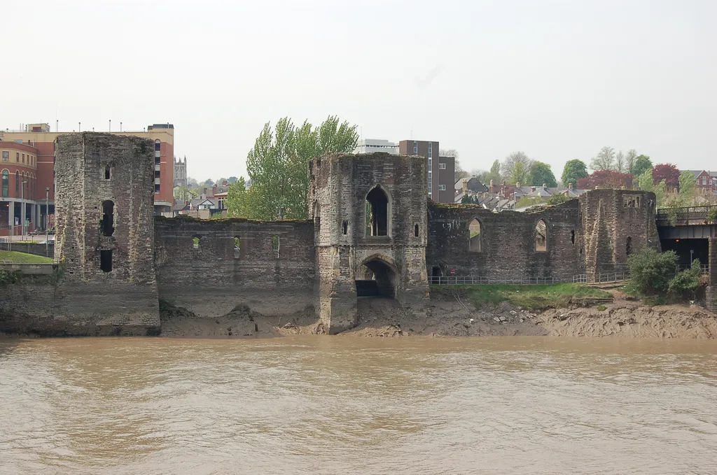 Newport Castle Historic site, Stow Hill4.6 km S
-
Roughton Hill Mountain, Llanhennock3.5 km NE
-
Maindee Camp Historic site, Beechwood5.1 km SE
-
 Newport Transporter Bridge Landmark, Liswerry6.9 km S
-
Caerleon Castle Historic site, Caerleon4.5 km SE
Other cities and towns in Torfaen County Borough
-
 Pontypool City, Pontymoile8.2 km N
-
Pontnewydd Municipality, Torfaen County Borough4.1 km N
-
Croesyceiliog Municipality, Torfaen County Borough3.3 km N
-
Fairwater Municipality, Torfaen County Borough4.2 km NW
-
Henllys Municipality, Torfaen County Borough4.4 km W
-
Upper Cwmbran Municipality, Torfaen County Borough4.9 km NW
Sources & licences
Data last updated: