Panteg
Located in Torfaen County Borough, Wales Coordinates: 51°40′55″ N 3°01′40″ W
- Elevation
- 138 m
- above sea level
- Local time
- UTC+00:00
- Europe/London · UTC+00:00
- Places inside
- 2
- listed under Panteg
About Panteg
Panteg is a municipality. Location: Torfaen County Borough, Wales. Elevation: 138 m.
In comparison
- Nearest larger town: Griffithstown, 0 km N
- 44 sights and natural places within 10 km Penteg Motte, Pontypool Park
- Listed here: Neighbourhood: 1, Village: 1
Airports nearest to Panteg
- Cardiff International Airport (CWL) Cardiff 39 km
- Bristol Airport (BRS) Bristol 40 km
- Exeter International Airport (EXT) Exeter, Devon 109 km
Straight-line distance; airports with scheduled flights only. Source: OurAirports (public domain).
Places in Panteg
2 places-
Griffithstown Village5.4K
-
Pont-y-felin Neighbourhood
Nearby attractions & nature
Everything nearby-
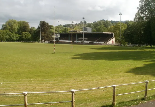 Pontypool Park Landmark, Pontymoile2.2 km N
-
Penteg Motte Historic site, New Inn2.1 km E
-
Sluvad Hill Mountain, New Inn3 km E
-
Mynydd Twyn-glas Mountain, Pontymoile3.1 km W
-
Pen Coed Parciau Mountain, Pen Tranch3.5 km NW
-
Pen Coed Di-haul Mountain, Llanbadoc4.1 km NE
-
Twyn y Cryn Mountain, Llanbadoc4.2 km NE
-
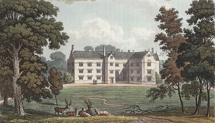 Llantarnam Abbey Attraction, Llantarnam6.1 km S
Other cities and towns in Torfaen County Borough
-
Upper Cwmbran Municipality, Torfaen County Borough2.3 km SW
-
Pen Tranch Municipality, Torfaen County Borough4.3 km NW
-
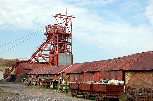 Blaenavon Town, Blaenavon11 km N
-
Cwmbran Central Municipality, Torfaen County Borough4.5 km S
-
Trevethin Municipality, Torfaen County Borough3.8 km N
-
Fairwater Municipality, Torfaen County Borough3.7 km SW
Sources & licences
Data last updated: